87 m away
Hobbs State Park: West
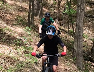
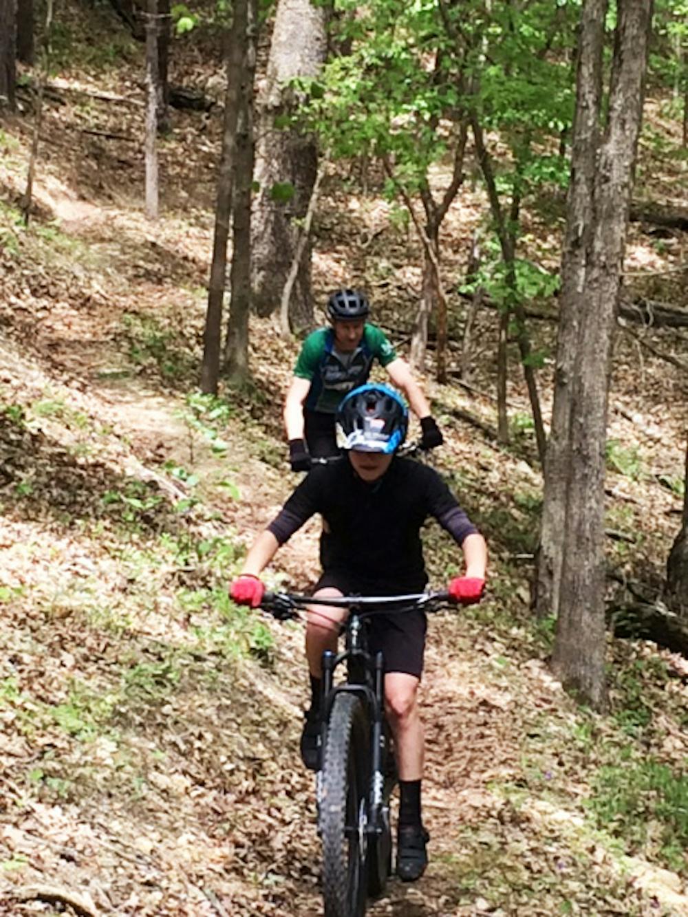
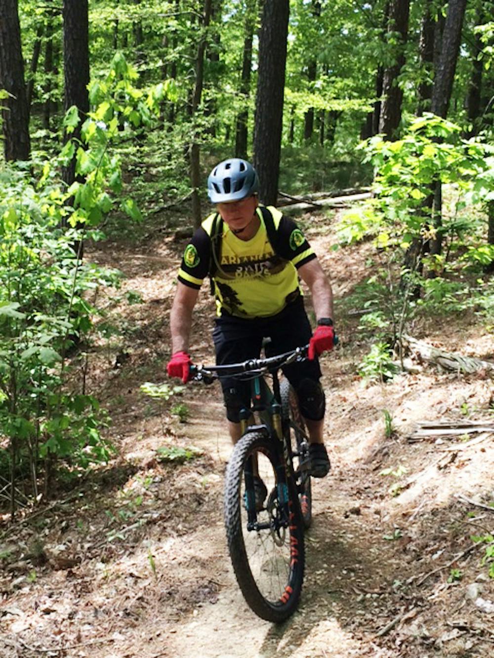
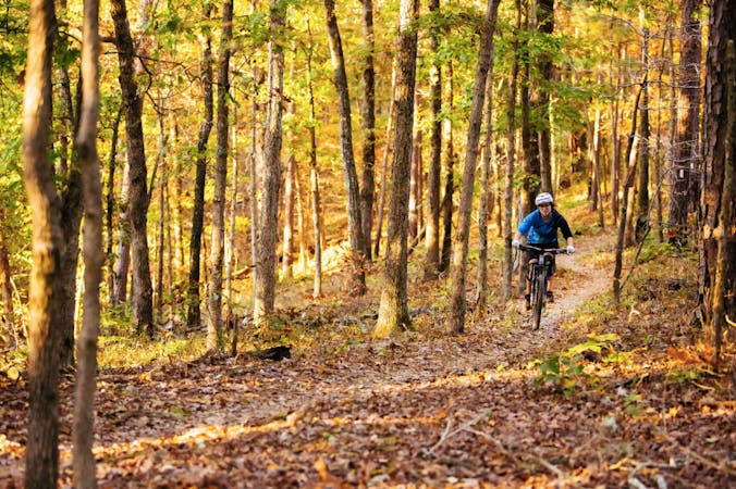
Flowy, handmade, old school singletrack winding and dipping through beautiful forested Ozark Mountains hollows.
Moderate Mountain Biking
- Distance
- 32 km
- Ascent
- 753 m
- Descent
- 753 m
Professionally constructed, flowy singletrack that takes full advantage of the rolling Ozark Mountains to create a truly enjoyable biking experience.
Mountain Biking Moderate

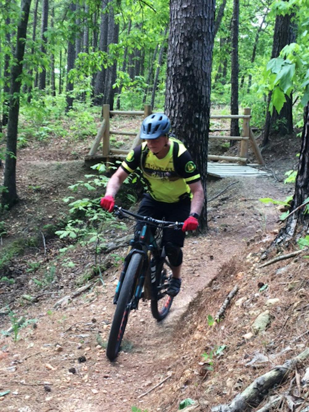
Hobbs State Park consists of close to 40 miles of singletrack mountain bike trails. A modern state-of-the-art visitor center divides their network of trails into two separate trail systems. The rocky soil and rolling terrain of both trail networks were constructed to drain quickly, making these trails the first to become rideable following heavy rains.
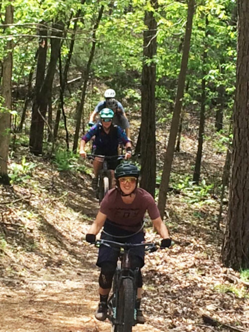
As you leave the visitor center parking lot and steer right, you enter the east section of trails. For cyclists seeking a fun, flowy mountain bike experience, this network of trails will be hard to beat.
The professional crew of Rogue Trails is known for building trails that blend into the environment. At the time of the grand opening of this section of trails on June of 2019, they wanted the trails to fit in like they had been there for years.
As with the western system of trails, Hobbs East is made up of a series of loops. Shortly into your ride, you will reach the Sawtooth Downhill trail. This and Timberjack Downhill Trail are directional downhill runs that form a loop, with a return line up the middle that routes cyclists back to the top.
These are fast downhill runs filled with dips, berms, and rollovers for you to grab a little air time. The features are big enough for experienced riders to enjoy but tame enough for less experienced riders to roll through.
In the middle of the trail across the top of this loop there is a tunnel constructed under Highway 12 providing a safe passageway to another pair of loop trails.
The tunnel drops riders onto Wolf Den Loop. This and the adjoining Karst Loop (named after these rock formations) make for super-fast flowy fun rides.
Unlike the older trails located on the west side of the park, these do not dip all the way to the bottom of the many hollows the trails flows through. Instead, these trails take riders deep into the bend at the end of the hollows, forming a-fun-to-ride natural earthen berm. Sweet!
At the bottom of Wolf Den, you cross a gravel road to reach Karst Loop. The trails here are similar to Wolf Den; however, Karst also routes cyclist through some beautiful rock formations and alongside the scenic lakeshore.
The recommended direction to ride Wolf is clockwise, and counterclockwise for Karst.
Moderate
Mostly stable trail tread with some variability, with unavoidable obstacles 8in/20cm tall or less. Other obstacles such as rock gullies and steep sections may exist. Ideal for lower intermediate riders.

The trail contains some obstacles such as outcroppings and rock which could cause injury.

Close to help in case of emergency.
87 m away
Flowy, handmade, old school singletrack winding and dipping through beautiful forested Ozark Mountains hollows.
Moderate Mountain Biking
5 routes · Mountain Biking