87 m away
Hobbs State Park: East
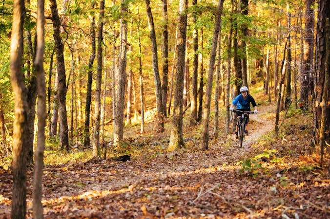
Professionally constructed, flowy singletrack that takes full advantage of the rolling Ozark Mountains to create a truly enjoyable biking experience.
Moderate Mountain Biking
- Distance
- 29 km
- Ascent
- 531 m
- Descent
- 531 m
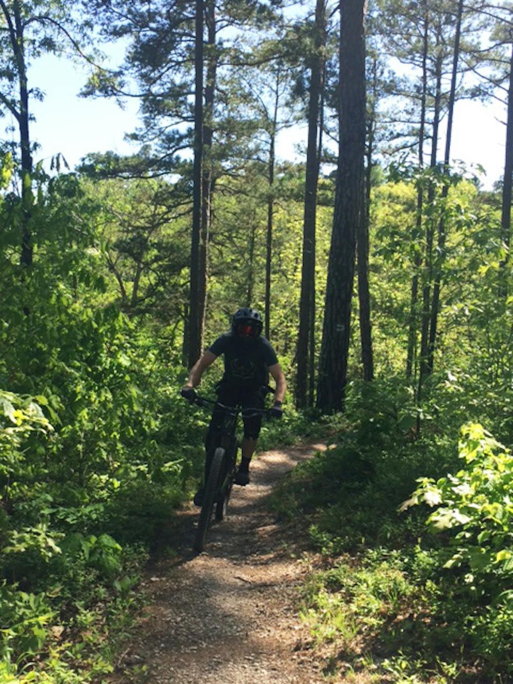
Flowy, handmade, old school singletrack winding and dipping through beautiful forested Ozark Mountains hollows.
Mountain Biking Moderate

Hobbs State Park consists of close to 40 miles of singletrack mountain bike trails. A modern state-of-the-art visitor center divides their network of trails into two separate trail systems. The rocky soil and rolling terrain of both trail networks were constructed to drain quickly, making these trails the first to become rideable following heavy rains.
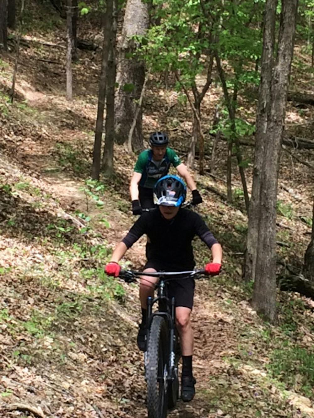
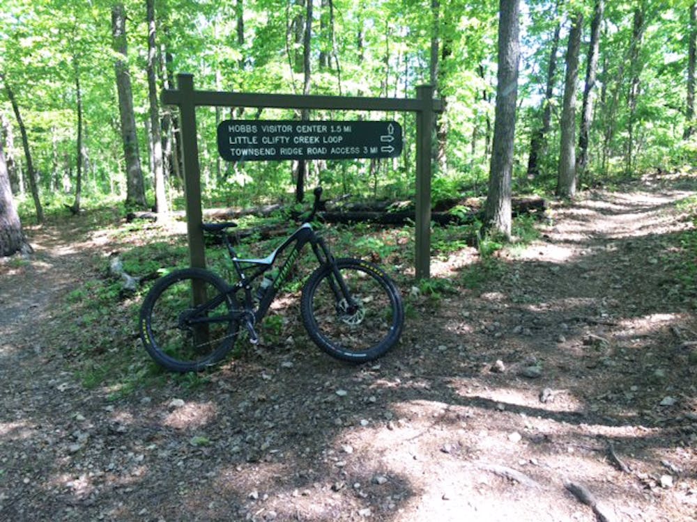
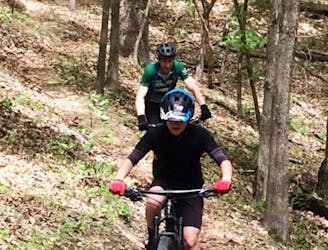
As you leave the visitor center parking lot and steer left, you'll enter the west network of trails. These were the park’s original hand constructed trails. Composed of four connecting loop trails, these various loops offer cyclists a variety of options for putting together rides to meet their desired mileage.
After a short, easy ride on the Visitor Center Trail, you'll reach the first and longest loop—Little Clifty Loop. This loop also has some of the longest downhill runs sending cyclists to the bottom of a hollow, with several tight, fun, twisting switchback turns sprinkled in. What goes down must go up, so this also means there are some challenging ascents on your way back out.
The recommended ride direction for this and the other loops of the west trails is counterclockwise.
Clifty routes cyclists to the Piney Road Parking, which connects to what’s known locally as the Rabbit Ears. These are the Dutton Hollow and Bashore Ridge Loop Trails, which resemble a pair of rabbit ears on a map. Neither of these two loops has quite the sharp elevation fluctuations as Clifty, but they're still great, flowy singletrack. Bashore Ridge also has several beautiful views across Beaver Lake.
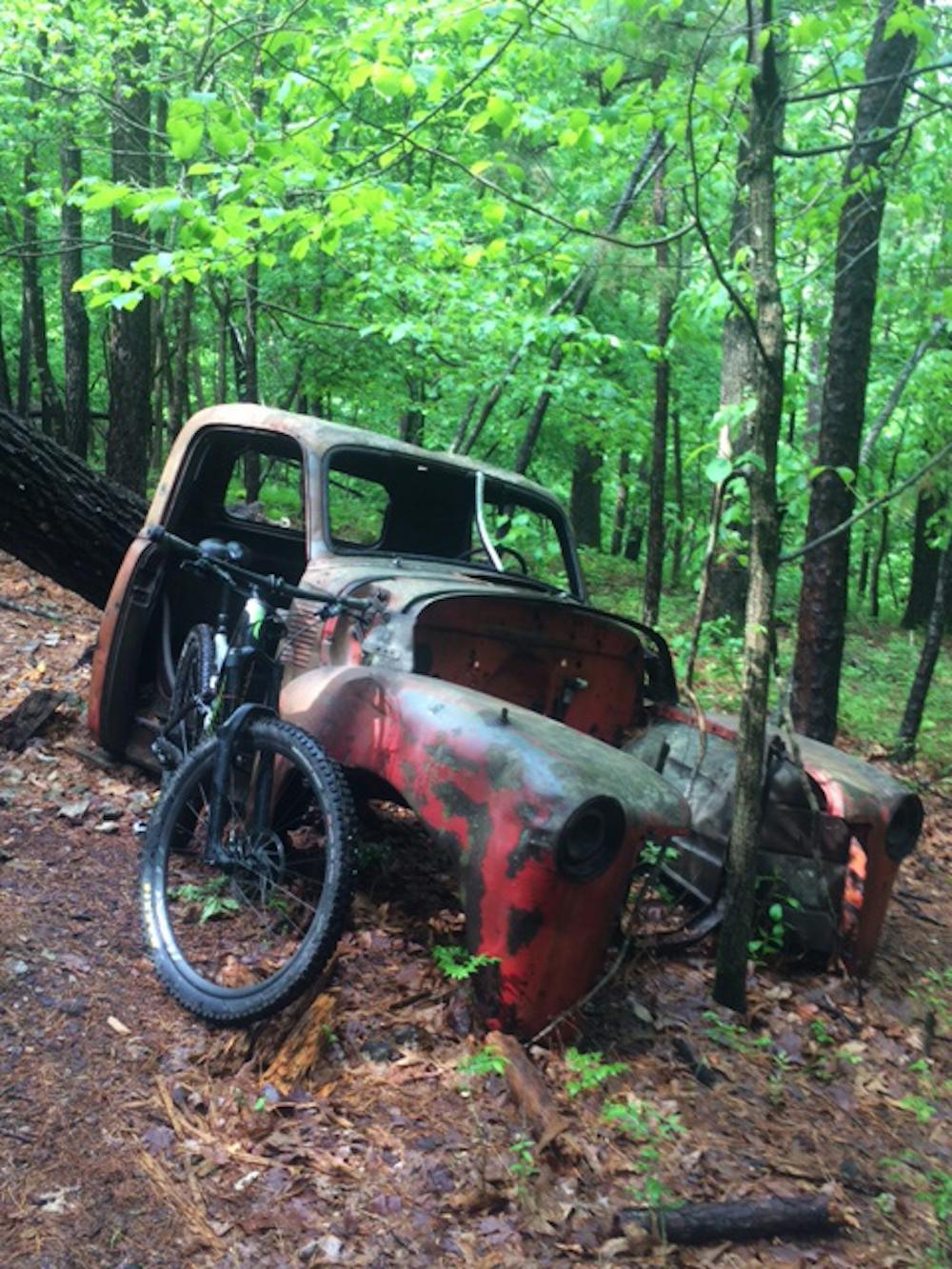
Keep your eye out for interesting relicts of early settlers that once called these hills home, such as an abandoned truck, a wash tub, and more.
The trails are well marked and maintained, so you don’t have to worry about getting in some unwanted bonus miles thanks to making a wrong turn.
Riders of all skill levels will enjoy these old-school hand-built trails.
Moderate
Mostly stable trail tread with some variability, with unavoidable obstacles 8in/20cm tall or less. Other obstacles such as rock gullies and steep sections may exist. Ideal for lower intermediate riders.

The trail contains some obstacles such as outcroppings and rock which could cause injury.

Close to help in case of emergency.
87 m away
Professionally constructed, flowy singletrack that takes full advantage of the rolling Ozark Mountains to create a truly enjoyable biking experience.
Moderate Mountain Biking
5 routes · Mountain Biking