2.6 km away
Pinnacle Mountain Run Tour
A scenic, rocky trail run circling the base of Pinnacle Mountain.
Moderate Trail Running
- Distance
- 5.4 km
- Ascent
- 83 m
- Descent
- 83 m
A 5-mile tour of Rattlesnake Ridge that earns epic views of Lake Maumelle from a rocky ridgeline.
Trail Running Moderate

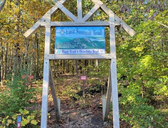
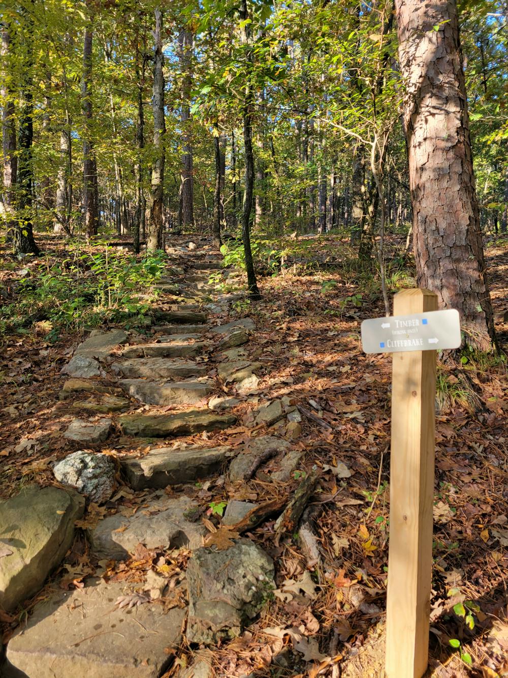
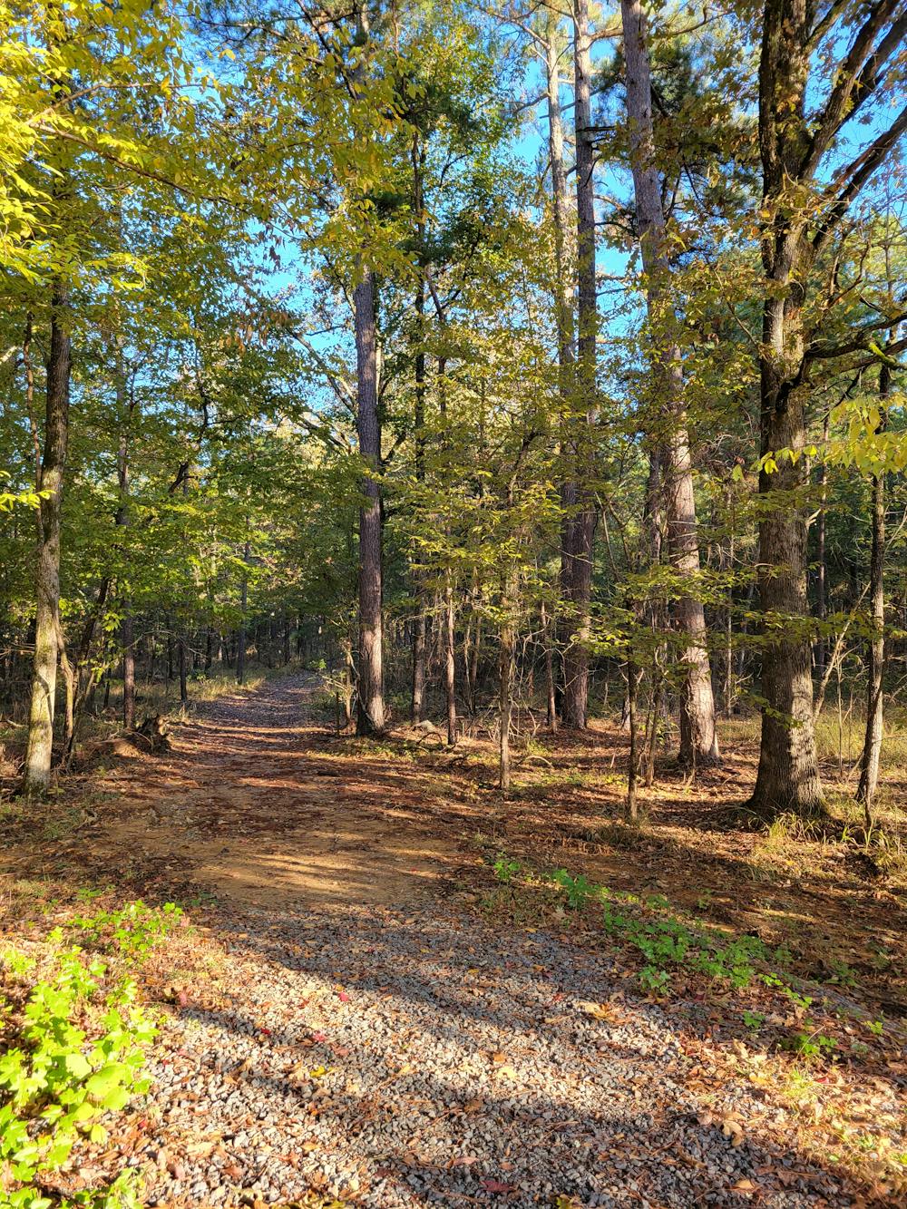
A favorite area to explore for mountain bikers, hikers, and trail runners alike, this 5-mile run begins with a steady climb up the Cliffbrake Trail to a spectacular overlook of Lake Maumelle. From there, you can traverse the scenic Upper Rattlesnake Ridge or retrace your steps back to the trailhead based on how you're feeling. A series of wider dirt and gravel paths also wind their way to the overlook, should you want a more relaxing run up easier trails to the summit. No matter how you do it, there's something at Rattlesnake Ridge for every type of trail runner.
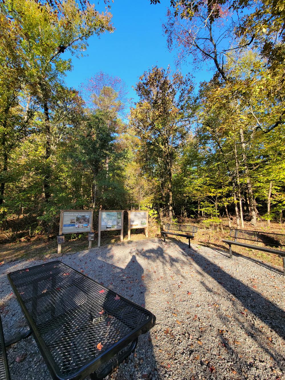
Thanks to the Arkansas Nature Conservancy, this natural area helps to protect unique plant and animal life, protect the forest health, reduce wildfire, and restore woodlands to their natural beauty, the trail kiosk notes. Healthy forests can also limit the spread of invasive plants and pests and help retain sediment from draining into the nearby Lake Maumelle, central Arkansas's drinking water supply. Floodplain control was another major variable for protecting the area from development.
That said, due to the hydrology and geology of some of the hillsides, the trails may close due to rain. Be respectful of any trail closures and give the singletrack adequate time to drain after rain. It's suggested to visit the Nature Conservancy in Arkansas on Facebook if you'd like to check on conditions prior to your visit.
Moderate

The trail contains some obstacles such as outcroppings and rock which could cause injury.
Away from help but easily accessed.
2.6 km away
A scenic, rocky trail run circling the base of Pinnacle Mountain.
Moderate Trail Running

5 routes · Trail Running