3.8 km away
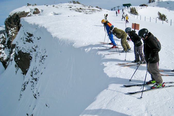
Headwall

Steep and short northwest facing slope that leads into Sally Alley
Difficult Freeride Skiing
- Distance
- 325 m
- Ascent
- 0 m
- Descent
- 167 m

Epic Remote Backcountry Couloir
Freeride Skiing Difficult

Black Hole takes quite a bit of work to get to and even more work to get out of. You can access this run towards the bottom of the Deadwood Backside drainage . Hike up a modest pitch to the entrance of the run. What makes Black Hole challenging is not necessarily its pitch but how insanely rocky it is. There could be several sections in this run where brief mandatory straightlining is required. This should really only be attempted during exceptionally good snow years. The pitch also gets steeper and steeper as you get to the bottom of the run. When you finish, you have a long journey up the Summit City Drainage to the Deadwood Peak base.
Difficult
Serious gradient of 30-38 degrees where a real risk of slipping exists.
3.8 km away

Steep and short northwest facing slope that leads into Sally Alley
Difficult Freeride Skiing
3.8 km away

An low consequence and lower angle zone that will give a good perspective of the surrounding area
Moderate Freeride Skiing
3.9 km away

Adventurous classic narrow chute on the way to California Chutes
Difficult Freeride Skiing
3.9 km away

Classic North Facing line of Peak 9795
Extreme Freeride Skiing
3.9 km away

The easiest couloir in the sidecountry of Kirkwood but also a bit far
Difficult Freeride Skiing
4 km away

A classic western facing Y couloir from Peak 9795
Severe Freeride Skiing
4.6 km away

Very steep couloir with a narrow crux at the end before funneling down to Emigrant Lake
Severe Freeride Skiing
4.6 km away

An extremely steep and exposed line and riddled with large granite obstacles.
Severe Freeride Skiing
4.6 km away

Fun technical area that leads into some large cliffs above Emigrant Lake
Difficult Freeride Skiing
4.6 km away

An area with steep turns and ice fall cliffs that lead into a wide open sunny bowl above Emigrant Lake
Difficult Freeride Skiing

7 routes · Freeride Skiing