702 m away
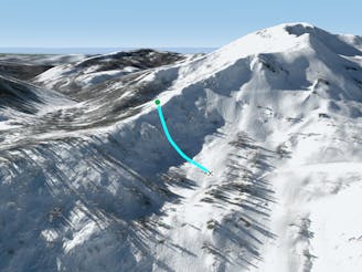
The Fingers at Tahoe

One of the "Squallywood" zones
Extreme Freeride Skiing
- Distance
- 421 m
- Ascent
- 0 m
- Descent
- 214 m
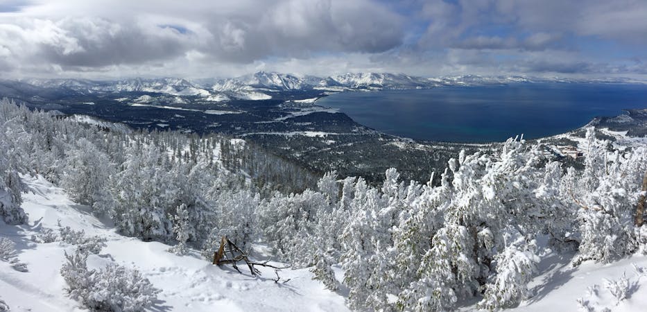
Great tree run off red dog ridge.
Freeride Skiing Moderate

This is a popular freeride skiing route which is generally considered to be moderate. It's remote, it features low exposure (e1) and is typically done between January and May. From a low point of 2.1 km to the maximum altitude of 2.3 km, the route covers 263 m, 0 vertical metres of ascent and 143 vertical metres of descent.
This area is protected by trees and holds good snow. Less tracked out than the rest of KT-22 on a powder day
Moderate
Slopes become slightly steeper at around 25-30 degrees.

Exposure is limited to that of the slope itself. Getting hurt is still likely if the slope is steep and/or the snow is hard.

Away from help but easily accessed.
702 m away
One of the "Squallywood" zones
Extreme Freeride Skiing
881 m away

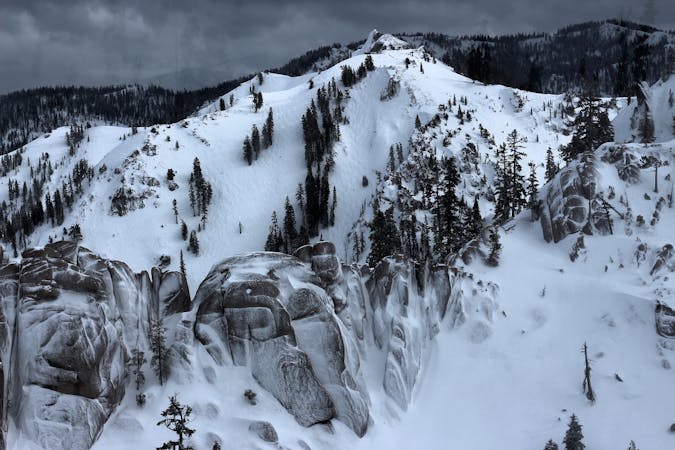
A nice option for Chute 75
Severe Freeride Skiing
1.4 km away

Great wind protected semi - steep skiing.
Difficult Freeride Skiing
2 km away
A fun bowl/chute combo off Cornice II area
Difficult Freeride Skiing
2.1 km away

Way out there!
Difficult Freeride Skiing
2.1 km away

"The" Classic Chute at Palisades Tahoe
Extreme Freeride Skiing
3 km away

A steep variation off Trail 90 on Silverado
Severe Freeride Skiing
3.1 km away

A short, steep north facing pitch
Moderate Freeride Skiing
3.1 km away

A Steep chute/slope area on lower Silverado
Severe Freeride Skiing
3.1 km away

A challenging variation off Trail 90 on Silverado
Difficult Freeride Skiing
8 routes · Freeride Skiing
3 routes · Freeride Skiing