87 m away
Pencil Chute
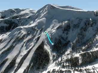
A narrow chute that usually is a straightline
Difficult Freeride Skiing
- Distance
- 150 m
- Ascent
- 0 m
- Descent
- 69 m
Steep exposed ridge with rocky features
Freeride Skiing Difficult
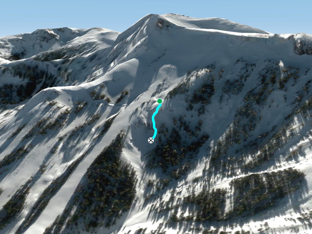
This is a popular freeride skiing route which is generally considered to be difficult. It's remote, it features medium exposure (e2) and is typically done between November and April. From a low point of 2.6 km to the maximum altitude of 2.7 km, the route covers 151 m, 0 vertical metres of ascent and 75 vertical metres of descent. It's graded 3.2 and Labande grade 4.
Steep exposed ridge with rocky features that runs just skier's left of Dick's Drop. On bigger snow years, you can make your way around the exposed cliff and jump into a quick straightline.
Difficult
Serious gradient of 30-38 degrees where a real risk of slipping exists.

As well as the slope itself, there are some obstacles (such as rock outcrops) which could aggravate injury.
Away from help but easily accessed.
87 m away
A narrow chute that usually is a straightline
Difficult Freeride Skiing
153 m away

Steep sunny zone with some fun obstacles
Difficult Freeride Skiing
351 m away

Wide open bowl with small to medium cliffs scattered throughout.
Difficult Freeride Skiing
417 m away

Incredibly steep corniced slope great for steep turns and littered with small cliffs
Severe Freeride Skiing
511 m away

Extremely narrow and steep chute that usually requires a straightline
Severe Freeride Skiing
529 m away

A narrow chute shaped like a heart surrounded by large volcanic walls that funnel into a large cliff.
Extreme Freeride Skiing
535 m away

A ‘U’ shaped wide chute just to the left of Heart Chute with incredible steep left wall.
Difficult Freeride Skiing
661 m away

Cliff and chute zone at the bottom of the Lower Cirque
Difficult Freeride Skiing
780 m away

Series of chutes located in Wagon Wheel Bowl off of Chair 6
Difficult Freeride Skiing
928 m away

Extremely narrow spine and rocky area just above the flats of Thunder Saddle
Difficult Freeride Skiing

7 routes · Freeride Skiing
8 routes · Freeride Skiing