195 m away
Soul Searcher

A huge cliff area that can be sent after massive Sierra storms but has a relative flat landing
Severe Freeride Skiing
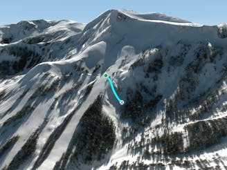
- Distance
- 166 m
- Ascent
- 0 m
- Descent
- 118 m
Extremely narrow spine and rocky area just above the flats of Thunder Saddle
Freeride Skiing Difficult
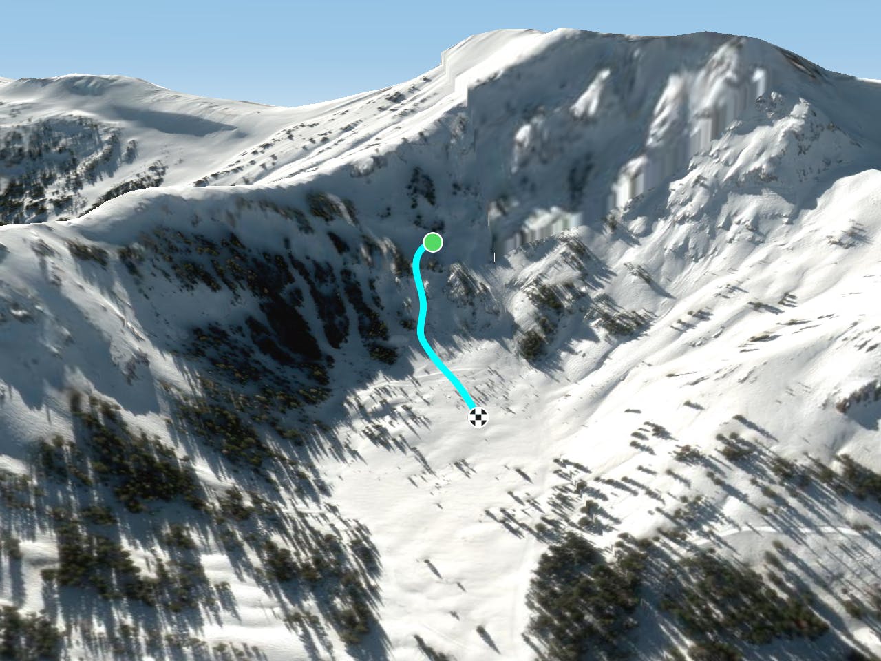
This is a popular freeride skiing route which is generally considered to be difficult. It's remote, it features medium exposure (e2) and is typically done between November and April. From a low point of 2.5 km to the maximum altitude of 2.6 km, the route covers 397 m, 0 vertical metres of ascent and 129 vertical metres of descent. It's graded 3.2 and Labande grade 4.
Extremely narrow ridge line between two gullies of the lowest section of the Thunder Saddle Area. It has cliffs on both sides and widens as you make your descent down this very technical line.
Difficult
Serious gradient of 30-38 degrees where a real risk of slipping exists.

As well as the slope itself, there are some obstacles (such as rock outcrops) which could aggravate injury.
Away from help but easily accessed.
195 m away
A huge cliff area that can be sent after massive Sierra storms but has a relative flat landing
Severe Freeride Skiing
268 m away

Cliff and chute zone at the bottom of the Lower Cirque
Difficult Freeride Skiing
581 m away

Wide open bowl with small to medium cliffs scattered throughout.
Difficult Freeride Skiing
735 m away

A 'hike to powder' bowl to guarantee those fresh turns after a storm. An intermediately sloped bowl that funnels back into Hully Gully, Cold Shoulder and Larry's Lip on the Backside
Moderate Freeride Skiing
821 m away

Fairly steep run with small to medium cliffs scattered throughout in all directions
Difficult Freeride Skiing
829 m away

Incredibly steep corniced slope great for steep turns and littered with small cliffs
Severe Freeride Skiing
903 m away
A narrow chute that usually is a straightline
Difficult Freeride Skiing
928 m away

Steep exposed ridge with rocky features
Difficult Freeride Skiing
966 m away

Steep sunny zone with some fun obstacles
Difficult Freeride Skiing
1.1 km away

Extremely narrow and steep chute that usually requires a straightline
Severe Freeride Skiing

7 routes · Freeride Skiing
8 routes · Freeride Skiing