9.8 km away
Ocean Trails Reserve
Network of trails along bluffs and beaches with whale-spotting opportunities.
Easy Hiking
- Distance
- 4.3 km
- Ascent
- 113 m
- Descent
- 113 m
A classic short hike to a remote-feeling bay
Hiking Moderate

Nestled within the affluent community of Palos Verdes Estates, the Bluff Cove Trail begins at the end of Paseo del Mar and winds its way down to Bluff Cove Beach. The trailhead is easily accessible from the residential neighborhood, with street parking available for visitors.
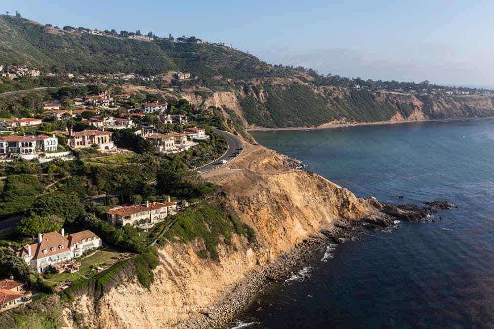
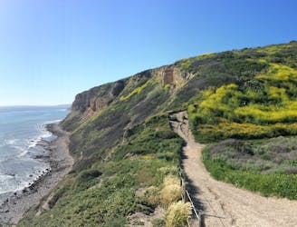
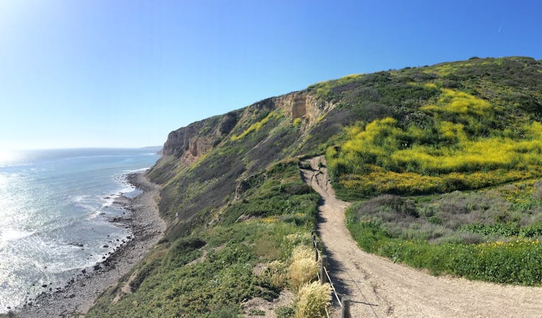
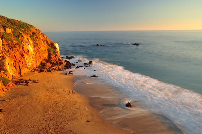
As you descend along the Bluff Cove Trail, there are some breathtaking views of the Pacific Ocean, rugged coastal cliffs, and the rocky shores below. This is a relatively short and easy hike, and the well-maintained pathway is wide and gently sloping, with wooden steps and handrails.
One of the fun elements of the Bluff Cove Trail is the opportunity to explore the tidal pools and sea caves at the base of the cliffs. During low tide, you can venture down to the rocky shoreline and enjoy a level solitude which is jarring given the proximity of LA.
Moderate
Hiking along trails with some uneven terrain and small hills. Small rocks and roots may be present.

The trail contains some obstacles such as outcroppings and rock which could cause injury.
Away from help but easily accessed.
9.8 km away
Network of trails along bluffs and beaches with whale-spotting opportunities.
Easy Hiking
12 routes · Hiking
6 routes · Hiking