2.6 km away
Firebreak Trail to Griffith Observatory

A short, fairly steep hike to a beautiful view from the Griffith Observatory.
Difficult Hiking
- Distance
- 2.7 km
- Ascent
- 169 m
- Descent
- 169 m
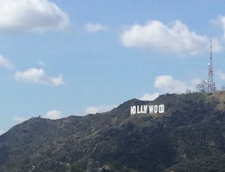
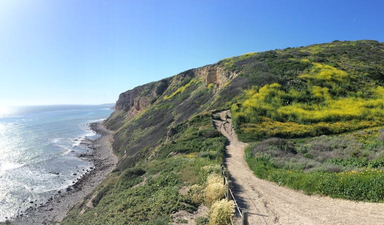
One of the shortest, most direct hikes to reach the Hollywood Sign.
Hiking Moderate

If you want to get up close and personal with the iconic Hollywood Sign, this 4.3-mile out-and-back hike is a great option. You will start from the Innsdale Trailhead on a residential street near Lake Hollywood Reservoir and follow a dirt road called Innsdale Drive, which offers amazing views of the sign right from the beginning. You will then join a paved road called Mulholland Highway, which curves around the hillside and passes by a water tank. You will then turn onto another paved road called Mt Lee Drive, which climbs steeply to the summit of Mt Lee, where the sign is located.
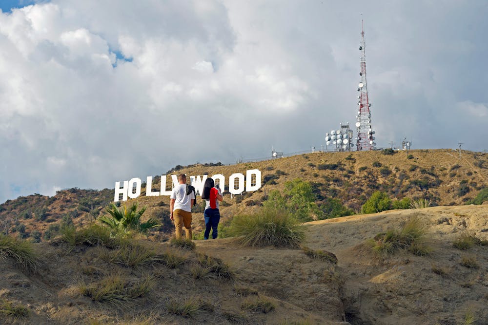
Along the way, you will enjoy panoramic views of Los Angeles, Griffith Park, and the San Gabriel Mountains. You will also learn some history of the sign, which was originally built in 1923 as an advertisement for a real estate development called Hollywoodland. The sign was restored in 1979 with new letters that are 45 feet tall and 31 feet wide.
Sources: Hollywood Sign. https://www.hollywoodsign.org/. The Hollywood Sign via Innsdale Drive, Mulholland Highway, and Mount .... https://www.hikespeak.com/trails/hollywood-sign-hike-innsdale-drive-mulholland-highway-mount-lee-drive/. Quick Answer: Where To Park For The Innsdaledrive Hollywood Sign Hike .... https://bikehike.org/where-to-park-for-the-innsdaledrive-hollywood-sign-hike/. Conversation with Bing Chat
Moderate
Hiking along trails with some uneven terrain and small hills. Small rocks and roots may be present.

The path is on completely flat land and potential injury is limited to falling over.
Close to help in case of emergency.
2.6 km away
A short, fairly steep hike to a beautiful view from the Griffith Observatory.
Difficult Hiking
2.7 km away
An enjoyable hike overlooking LA which leads to a legendary landmark
Moderate Hiking
2.9 km away
A beautiful but non-technical hike to the summit of Mount Hollywood.
Easy Hiking
3.4 km away
Linkup of all the major viewpoints in one of the best parks near Hollywood.
Moderate Hiking

17 routes · Hiking
12 routes · Hiking