759 m away
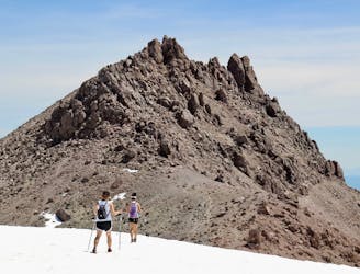
Brokeoff Mountain Trail
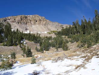
Unrelenting ascent on a good trail, to one of the national park's most dramatic peaks.
Difficult Hiking
- Distance
- 11 km
- Ascent
- 782 m
- Descent
- 782 m
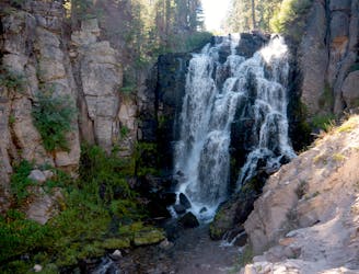
Hilly forest trail to the top of a 75-foot waterfall in a deep gorge.
Hiking Moderate
Mill Creek Falls plummets about 75 feet, making it the tallest waterfall in Lassen Volcanic National Park. It’s formed where two streams meet at the top of a volcanic cliff, converging to a single vertical jet of water. The river then tumbles on down a steep-sided canyon.
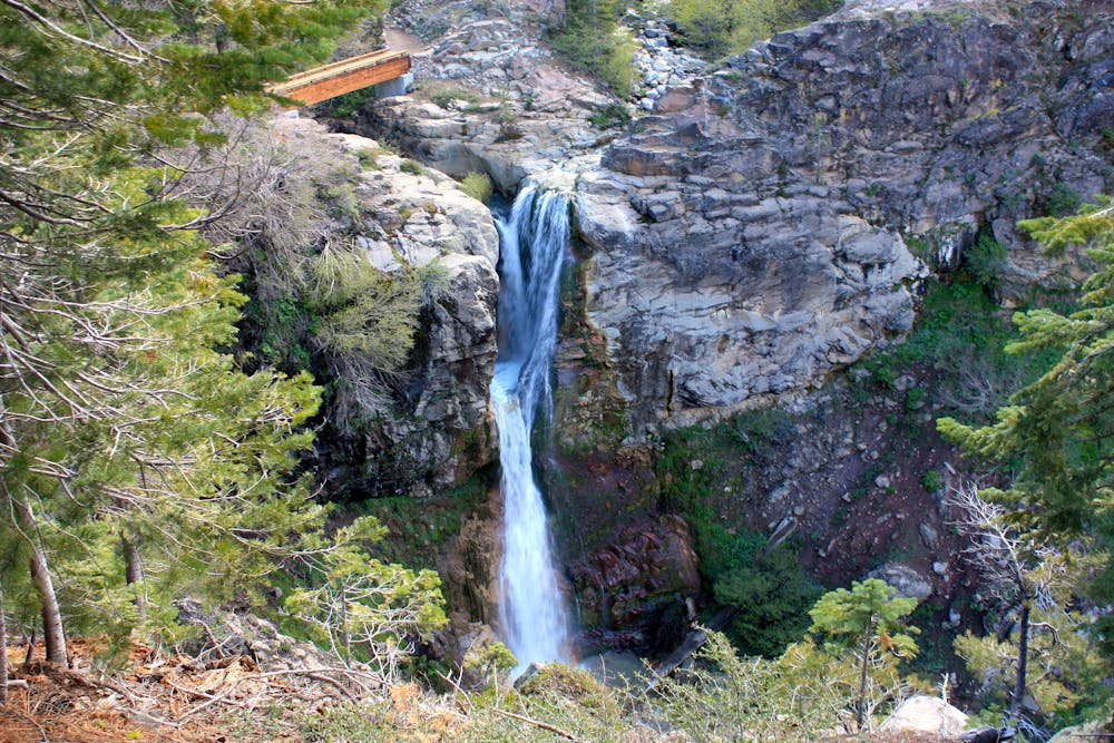
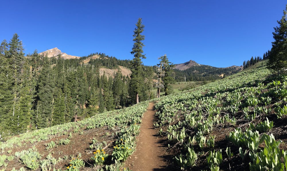
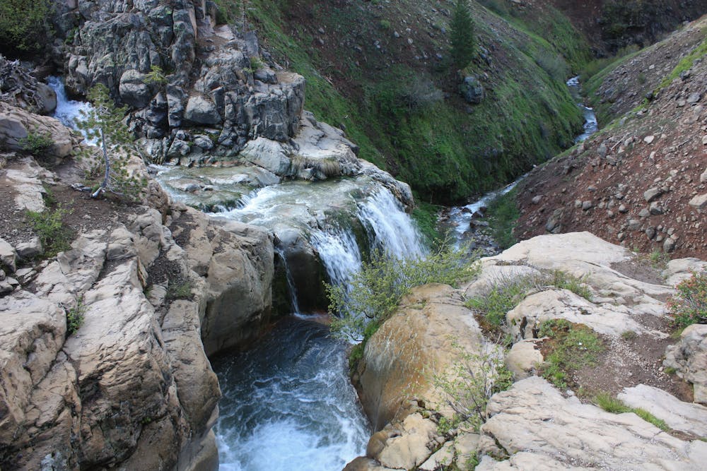
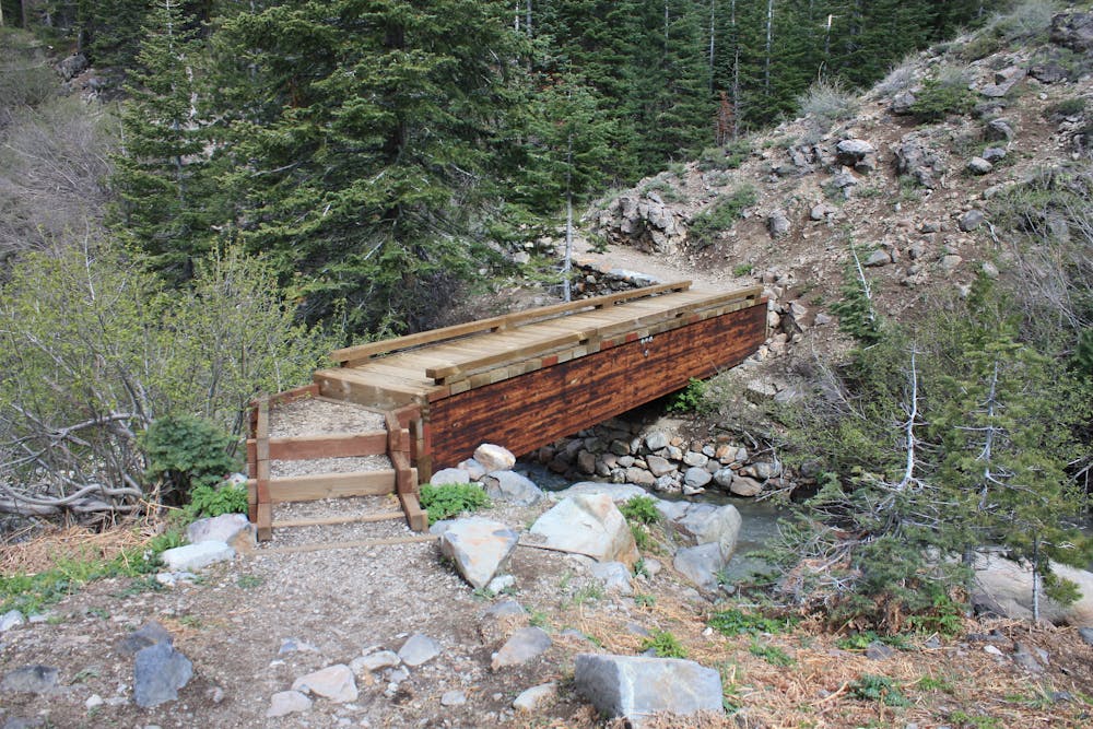
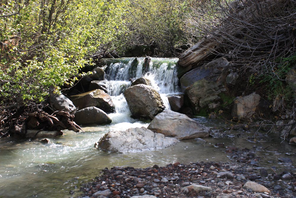
The hike goes through hilly and forest and meadows, reaching a few different overlooks of the waterfall. From the trailhead at Kohm Yah-mah-nee Visitor Center, you’ll first go downhill through shady conifers and across a small stream. Then the trail takes a gentle incline and traverses hillside meadows, colored by the yellow blossoms and green leaves of mules ear plants. Further ups and downs lead through more forest, then a sharp dip downhill delivers you to the first view of Mill Creek Falls. The trees limit the vantage points of the waterfall, but you can continue on the trail to get another view from the top of it, looking over its sheer drop to the steep canyon below. This trail extends much farther to Crumbaugh Lake and Cold Boiling Lake, but most hikers turn around at the waterfall.
Source: https://www.nps.gov/lavo/planyourvisit/hikingmillcreekfalls.htm
Moderate
Hiking along trails with some uneven terrain and small hills. Small rocks and roots may be present.

The trail contains some obstacles such as outcroppings and rock which could cause injury.
Away from help but easily accessed.
759 m away
Unrelenting ascent on a good trail, to one of the national park's most dramatic peaks.
Difficult Hiking
3.6 km away
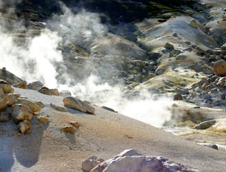
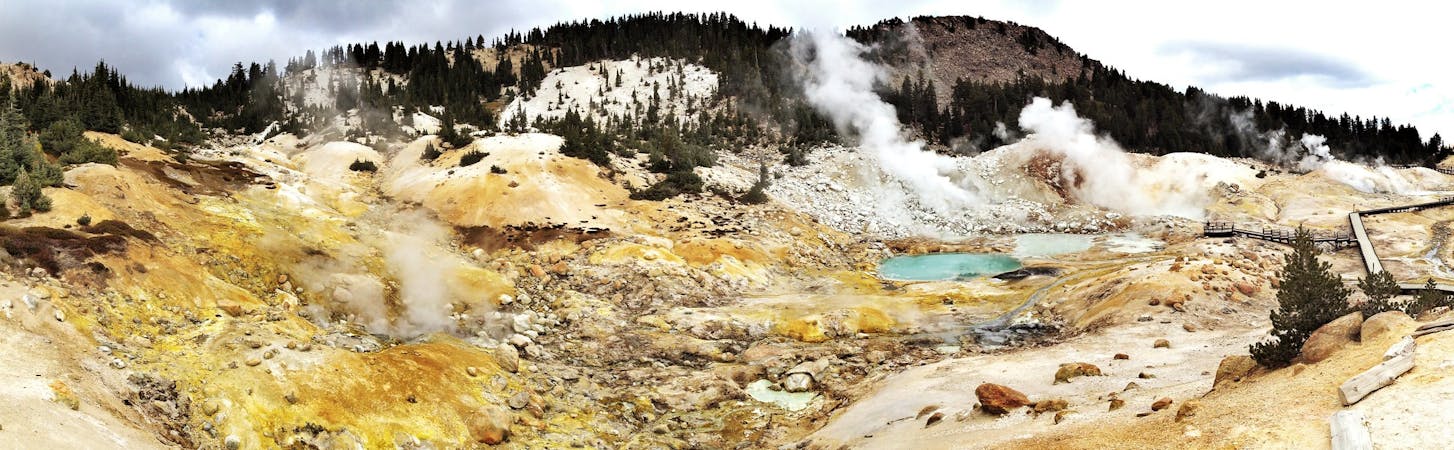
Lassen's largest hydrothermal area, full of heated water and vapors spewing from underground.
Moderate Hiking
4.8 km away
The must-do hike to the summit of the park's namesake mountain.
Difficult Hiking
6.3 km away
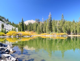
Three exquisite alpine lakes, linked by a path through sunny and colorful woodland.
Moderate Hiking
6.8 km away
Ultra-popular hike to a cascading creek and waterfall in a verdant gorge.
Difficult Hiking
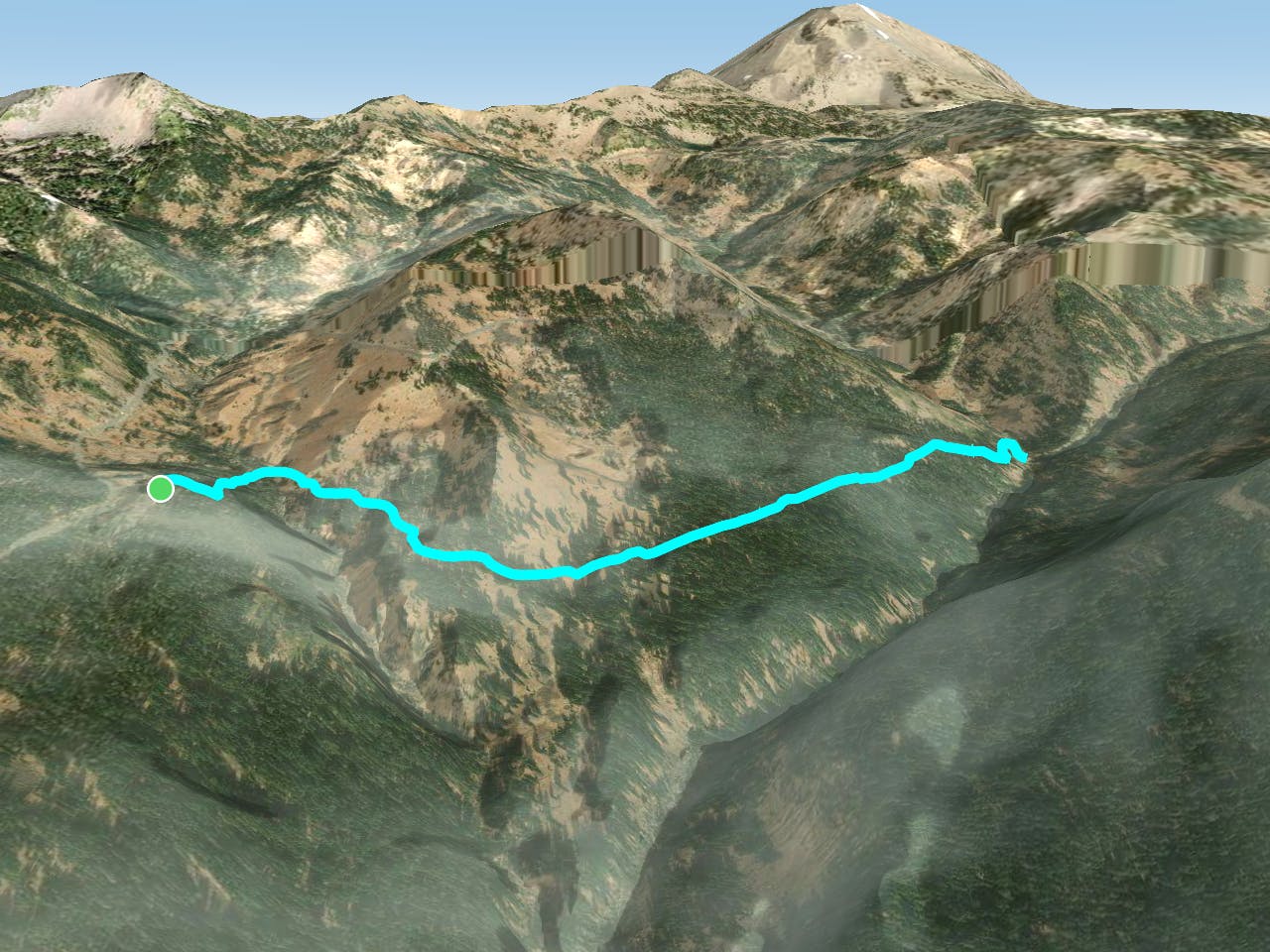
11 routes · Hiking

63 routes · Alpine Climbing · Hiking