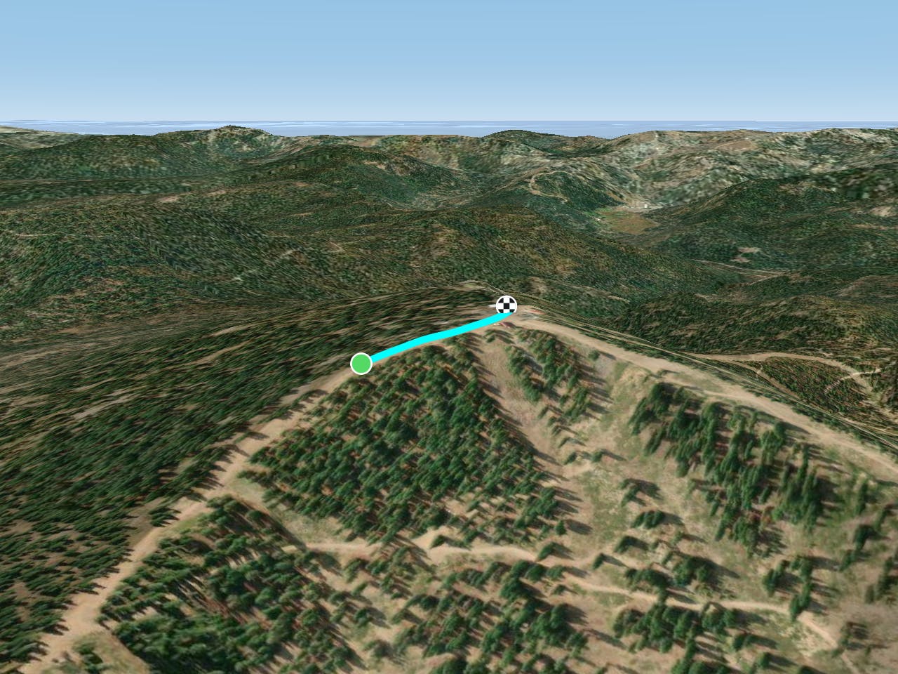
FATMAP by Strava

Monument

Lake Tahoe

Northstar California

A Seat at the Peak

Hiking Moderate

Distance
274 m
Ascent
16 m
Descent
0 m
Duration
0-1 hrs
Low Point
2.6 km
High Point
2.6 km
Gradient
Monument Map

If you are looking to do some serious climbing with a reward at the end, "Monument" is for you. This is the highest point on the mountain and the trial is open to both hikers and bikers. It is mostly a dual track fire road, also used by maintenance vehicles, but you are surrounded by 360-degree views once you reach the upper portion of the mountain/trail.

Difficulty

Moderate

Hiking along trails with some uneven terrain and small hills. Small rocks and roots may be present.

Similar routes nearby

Guidebooks in this area