1.5 km away
Lakes Trail
Widely regarded as one of the most incredible day hikes in the USA!
Difficult Hiking
- Distance
- 19 km
- Ascent
- 981 m
- Descent
- 981 m
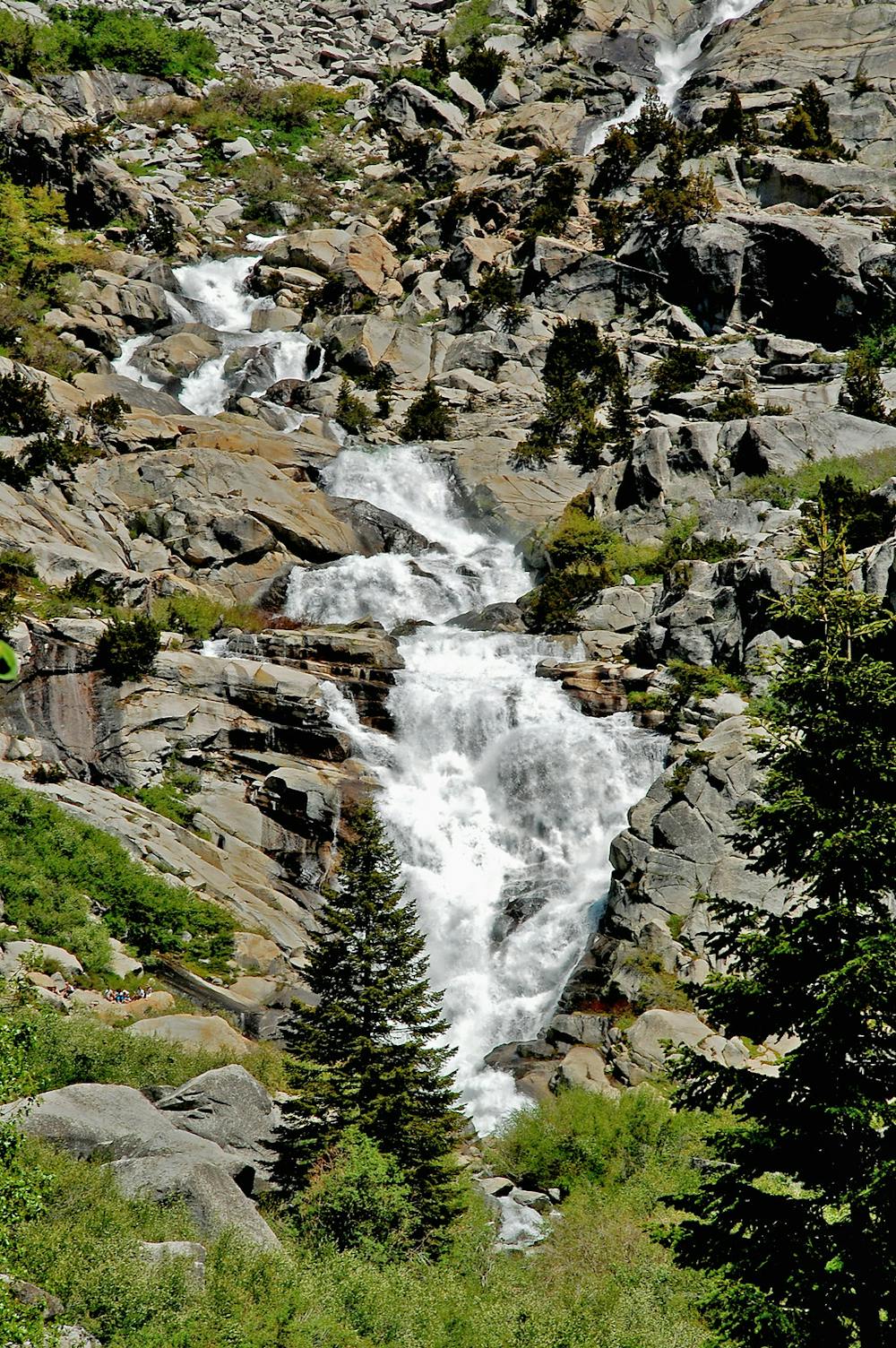
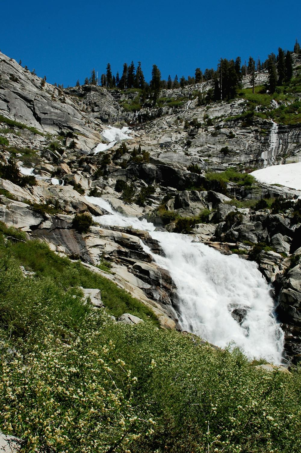
At 1,200 feet tall, Tokopah Falls is the tallest waterfall in Sequoia National Park.
Hiking Moderate

Tokopah Falls is notable as the tallest waterfall in all of Sequoia National Park. This tumbling cascade drops 1,200 feet "down a huge granite headwall of the glacial Tokopah Valley," according to Wikipedia. This 3.8-mile out-and-back hike offers a scenic adventure in the mountains with a stunning reward at the end!
Like all waterfalls, Tokopah flows the strongest during peak snowmelt in the late spring and early summer. But unlike some falls that continue to deliver all year, Tokopah dwindles to a trickle in the late summer and early autumn. For the most impressive cascade, try to catch this hike early in the season.
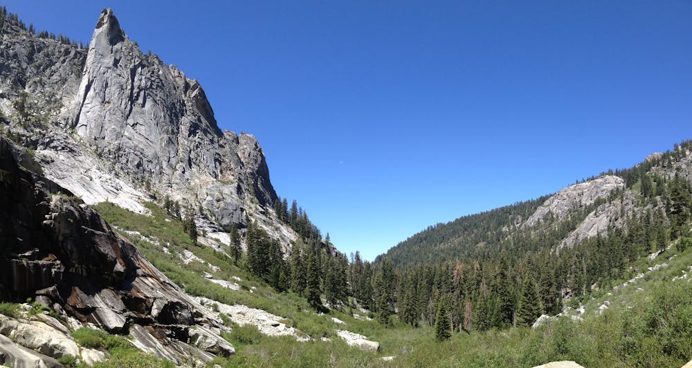
The hike winds through beautiful forests and granite canyons on its way up to Tokopah. The climb to the falls "is fairly gradual, gaining 630 feet up a trail that should be enjoyable for hikers of all abilities," according to HikesPeak.com. There aren't even any junctions or turns along the way, making this hike dead easy to navigate. As an added bonus, if you're camping in the nearby Lodgepole Campground, you can even hike to the falls directly from your campsite!
Moderate
Hiking along trails with some uneven terrain and small hills. Small rocks and roots may be present.

The path is on completely flat land and potential injury is limited to falling over.

Away from help but easily accessed.
1.5 km away
Widely regarded as one of the most incredible day hikes in the USA!
Difficult Hiking
3.3 km away

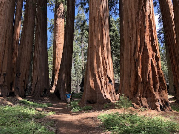
This 7-mile hike rolls through groves of the largest trees on planet earth.
Moderate Hiking
3.3 km away
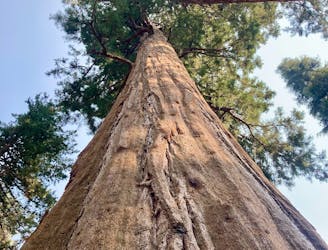
Hike past the largest tree in the world!
Easy Hiking
6.1 km away
A committing crossing of California's Sierra Nevada with the option to summit Mt. Whitney.
Difficult Hiking
6.4 km away
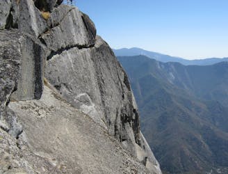
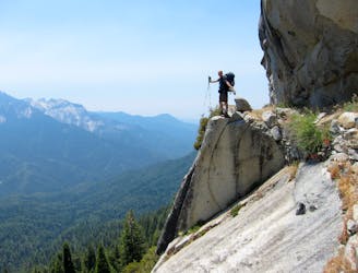
One of the most popular hikes in Sequoia National Park leads to stunning 360-degree views of the region.
Moderate Hiking

25 routes · Alpine Climbing · Hiking

5 routes · Alpine Climbing · Hiking
7 routes · Alpine Climbing · Hiking

14 routes · Hiking