3.2 km away
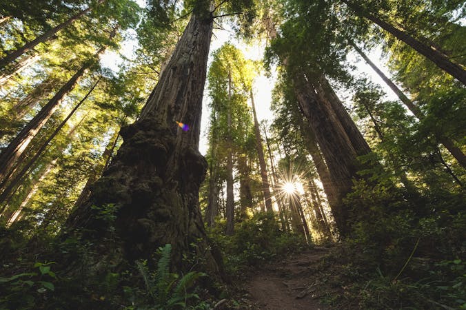
Lady Bird Johnson Grove
A family-friendly hike in Redwood National Park.
Easy Hiking
- Distance
- 2.3 km
- Ascent
- 33 m
- Descent
- 33 m
A gorgeous walk through redwood forests leads to a peaceful waterfall
Hiking Moderate

Located in Prairie Creek Redwoods State Park, this is a classic trail on which you'll find yourself surrounded by towering old-growth redwood trees, their branches reaching skyward and casting a canopy over the forest floor.
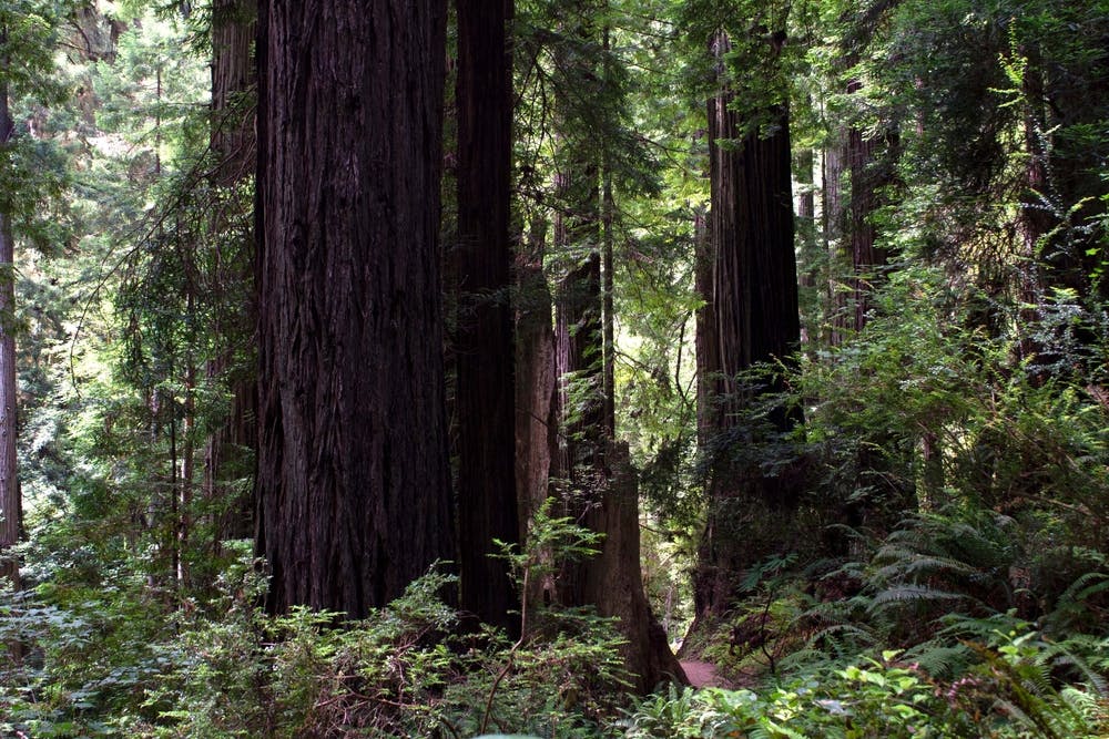
The trail leads you along a gentle ascent, winding its way through the forest and crossing over babbling streams on wooden footbridges. Eventually, you'll reach the pièce de résistance: Trillium Falls. This picturesque waterfall tumbles gracefully over a series of rocks, and the clear water trickling along provides a lovely soundtrack. Take a moment to pause and soak in the beauty of Trillium Falls, marvelling at the power and tranquility of nature.
After enjoying the waterfall, continue along the trail as it loops back to the trailhead, providing additional opportunities to immerse yourself in the splendor of the redwood forest. Whether you're a seasoned hiker or a casual nature enthusiast, the Trillium Falls Trail offers a memorable experience that will leave you feeling rejuvenated and inspired by the wonders of the natural world.
Moderate
Hiking along trails with some uneven terrain and small hills. Small rocks and roots may be present.

The trail contains some obstacles such as outcroppings and rock which could cause injury.

Little chance of being seen or helped in case of an accident.
3.2 km away
A family-friendly hike in Redwood National Park.
Easy Hiking
4.9 km away
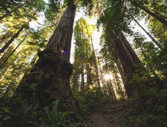
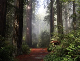
One of the best redwood hikes in the world!
Moderate Hiking
8.8 km away
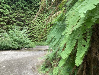
Get a taste of Jurassic Park in this prehistoric fern-lined canyon.
Moderate Hiking

14 routes · Hiking
6 routes · Hiking