7.2 km away
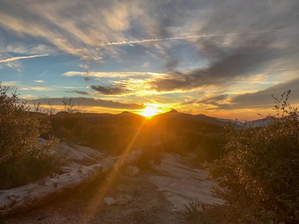
The Luge

An iconic flow trail that predates the advent of the modern flow trail.
Moderate Mountain Biking
- Distance
- 12 km
- Ascent
- 435 m
- Descent
- 435 m
MTB Loop 27km /16.7 miles with 1181m / 3875 ft climb
Mountain Biking Difficult

This is a popular mountain biking route which is generally considered to be difficult. It's remote, it features medium exposure and is typically done all year round. From a low point of 550 m to the maximum altitude of 1.4 km, the route covers 27 km, 1169 vertical metres of ascent and 1169 vertical metres of descent.
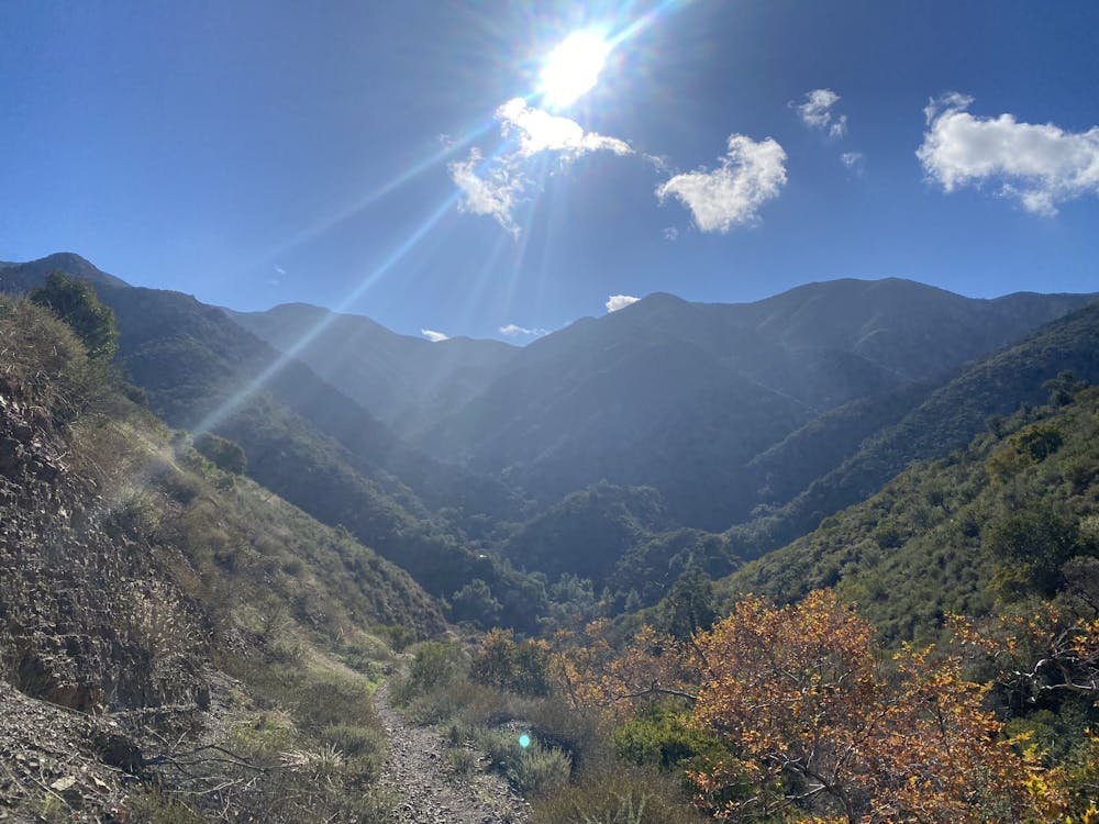
Motorway trail is an impressive descent but not too difficult. Climb via fire road is long but not too steep.
Difficult
Mostly stable trail tread with some variability featuring larger and more unavoidable obstacles that may include, but not be limited to: bigger stones, roots, steps, and narrow curves. Compared to lower intermediate, technical difficulty is more advanced and grades of slopes are steeper. Ideal for upper intermediate riders.

The trail contains some obstacles such as outcroppings and rock which could cause injury.
Away from help but easily accessed.
7.2 km away
An iconic flow trail that predates the advent of the modern flow trail.
Moderate Mountain Biking
13 routes · Mountain Biking