5 km away
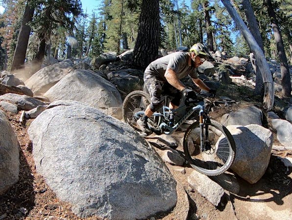
Tahoe Rim Trail: Brockway to Watson Lake
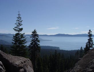
The Brockway to Watson Lake segment of the Tahoe Rim Trail provides an easily-accessible backcountry-style ride with occasional lake views
Moderate Mountain Biking
- Distance
- 21 km
- Ascent
- 741 m
- Descent
- 741 m