3.4 km away
Ferndell Trail to the Mount Hollywood Summit
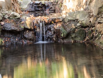
A beautiful but non-technical run to the summit of Mount Hollywood.
Easy Trail Running
- Distance
- 8.5 km
- Ascent
- 340 m
- Descent
- 340 m

Running Mount Hollywood from bottom to top.
Trail Running Difficult

Griffith Park, LA’s huge public space surrounding Mount Hollywood, is loaded with trails to incredible vistas over the city. With multiple park entrances and even more trailheads, it can be hard to pick the best routes for running. The one described here is ideal for a challenging run that’s mostly on dirt trails and hits some of the park’s best viewpoints.
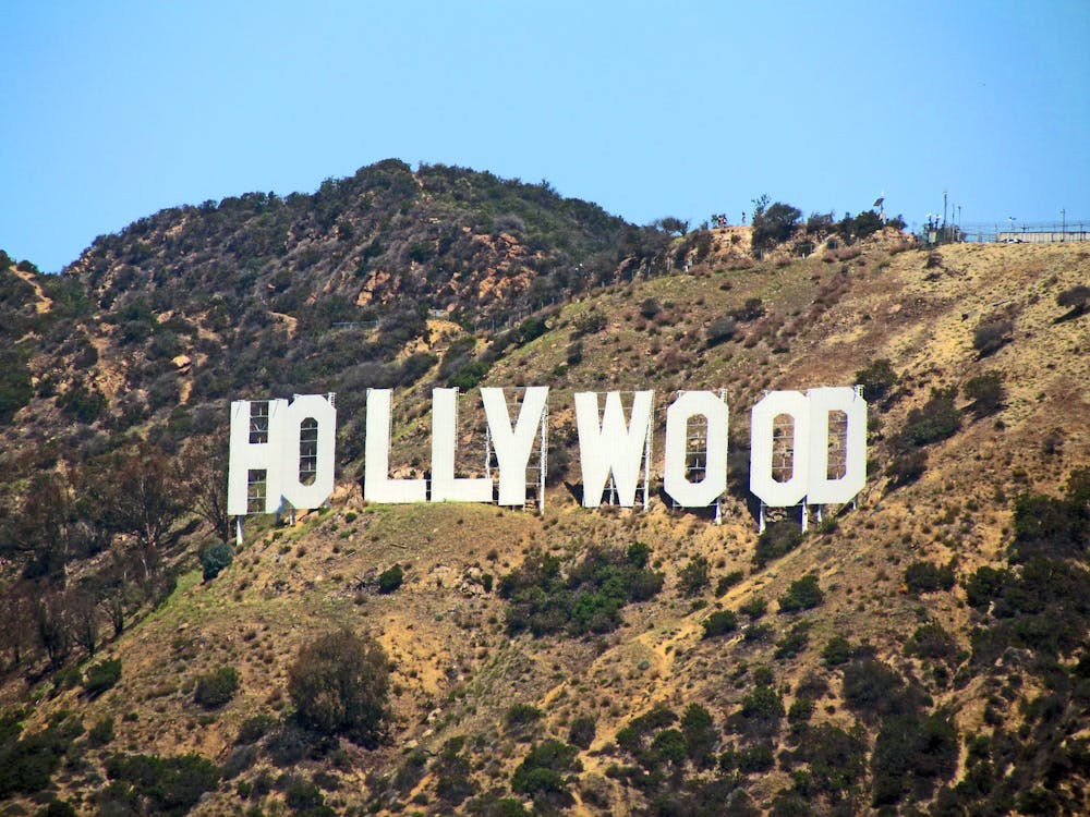
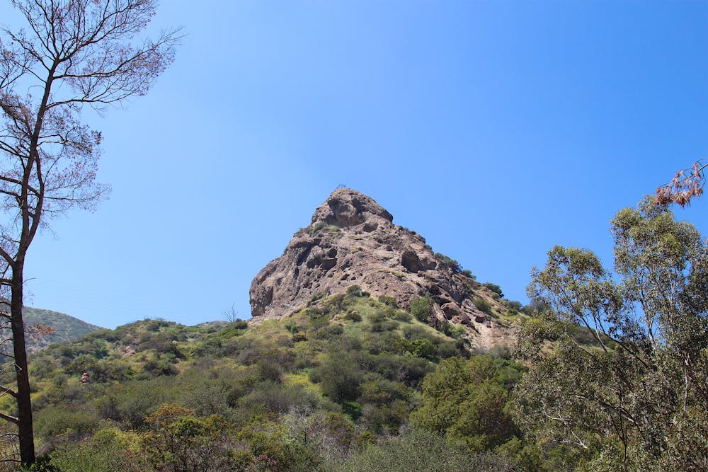
To begin, park at one of the two Merry-Go-Round lots off Crystal Springs Drive, or at the Old Zoo Picnic Area off Griffith Park Drive. These areas are also accessible by public transportation. You’ll begin on the trail to Bee Rock, a tall fin formation that’s sheer on one side. You can see it very well from the start of the run.
The trail begins as a wide dirt path ascending a leafy canyon. It’s rutted out in places, but is smooth for the most part. The terrain gets tougher after you turn on a narrow dirt path that zigzags steeply upward, but it’s a short distance to nice views over the parklands below, then the top of Bee Rock. You can walk right out to an exposed overlook on the summit, but the edge is protected by a fence.
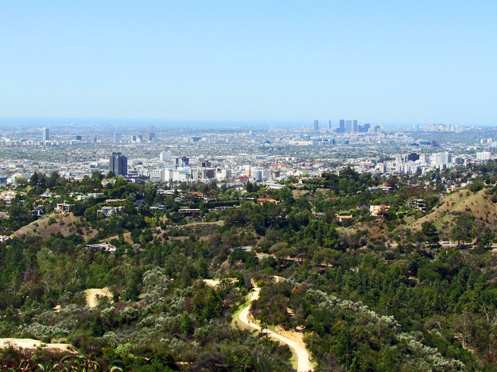
From there, continue along Vista Del Valle Drive, a gravel road that’s closed to vehicles. It goes gradually upward, contouring along the hillside. Eventually it comes to a broad viewpoint at a helipad, where you can see the skyline of downtown LA. Backtrack a little from the viewpoint to get on East Ridge Trail, and start the most strenuous portion of the run.
This trail traces the “hogbacks” on a prominent ridge of Mount Hollywood. The going is tough, on steep ups and downs with sometimes loose surfaces, and no shade, but the views provide proper motivation. Look behind you to see the whole city unfolding in the valley below.
Eventually, you’ll reach an overlook called Dante’s View, where you can get drinking water. From there, it’s a short distance to the top of the mountain. The summit area is often crowded because it’s a short hike from Griffith Observatory, but a network of paths reaches various viewpoints. You can, of course, see the Hollywood sign, which is actually on the side of neighboring Mount Lee. Linger on top of Mount Hollywood as long as you want, then take North Trail, a fire road that follows the panoramic ridgeline leading to Mount Bell.
You then have the option to scramble to Bell’s rocky summit, but the way back is to stay on North Trail and go downhill to rejoin Vista Del Valle Drive. You’ll follow the road only briefly before turning onto Bill Eckert Trail, a narrower dirt road. It goes steeply downhill, making an efficient return to the Old Zoo area where you started.
Sources: https://www.laparks.org/sites/default/files/griffith/pdf/GriffithParkInfo.pdf http://www.griffithobservatory.org/about/pdf/GriffithParkMap.pdf
Difficult
3.4 km away

A beautiful but non-technical run to the summit of Mount Hollywood.
Easy Trail Running
6.7 km away
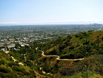
Workout with a view on the ridges above West Hollywood.
Moderate Trail Running
9.8 km away

Continuous ups and downs through wooded hills and canyons above Studio City.
Difficult Trail Running
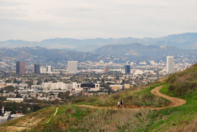
9 routes · Trail Running