3.3 km away
Cross Mountain Loop

Continuous ups and downs through wooded hills and canyons above Studio City.
Difficult Trail Running
- Distance
- 8.2 km
- Ascent
- 333 m
- Descent
- 333 m
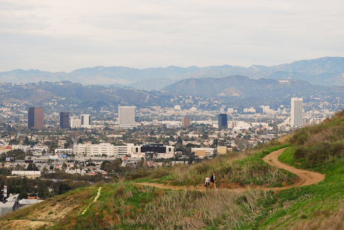
Hill and ridgeline run with a view over Beverly Hills.
Trail Running Moderate

Franklin Canyon Park is a pocket of forest very close to Beverly Hills. Though Suburbia sprawls on either side, this sliver of the Santa Monica Mountains has been largely spared from development. Instead of swimming pools, trimmed gardens, or planted palm trees, Franklin Canyon has ponds, brushy chapparal, and oak woodlands.
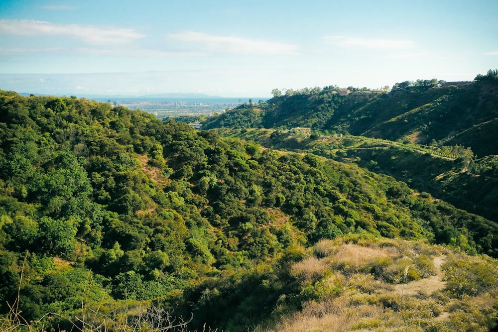
Most visitors go to the northern end of the park, which has a small lake, pond, and several short trails on surrounding hillsides. The better place for trail running, however, is in the southern part of the park, on Hastain Trail.
Beginning from a roadside parking area, Hastain Trail climbs a curvy fire road, crossing brushy slopes with a view over the canyon bottom. It gets higher, winding through a side canyon then ascending a ridge to a highpoint. From the top, you can see in all directions, over the canyon and hills beyond, even all the way to West Los Angeles and the ocean.
Complete the loop by backtracking down the ridge, then veering off the fire road to a steeper and narrower trail that switchbacks downward. It ends at a grassy picnic area, which you’ll cross to meet the road and return to your car.
Sources: https://mrca.ca.gov/parks/park-listing/franklin-canyon-park/
Moderate

The trail contains some obstacles such as outcroppings and rock which could cause injury.

Close to help in case of emergency.
3.3 km away
Continuous ups and downs through wooded hills and canyons above Studio City.
Difficult Trail Running
6.1 km away
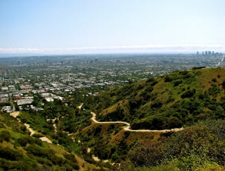
Workout with a view on the ridges above West Hollywood.
Moderate Trail Running
9.1 km away
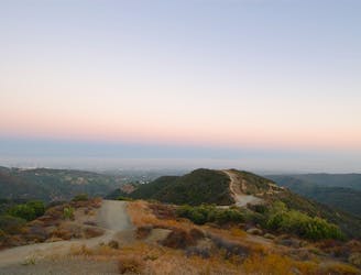
A tough mountain run with outstanding views over Los Angeles and Santa Monica.
Difficult Trail Running
9.9 km away
A beautiful but non-technical run to the summit of Mount Hollywood.
Easy Trail Running
9 routes · Trail Running