

112 m away
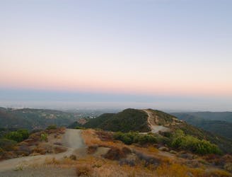
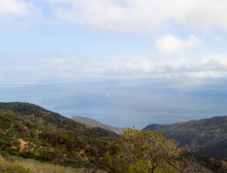
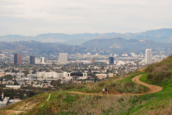
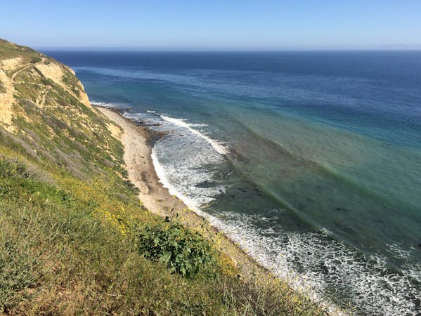
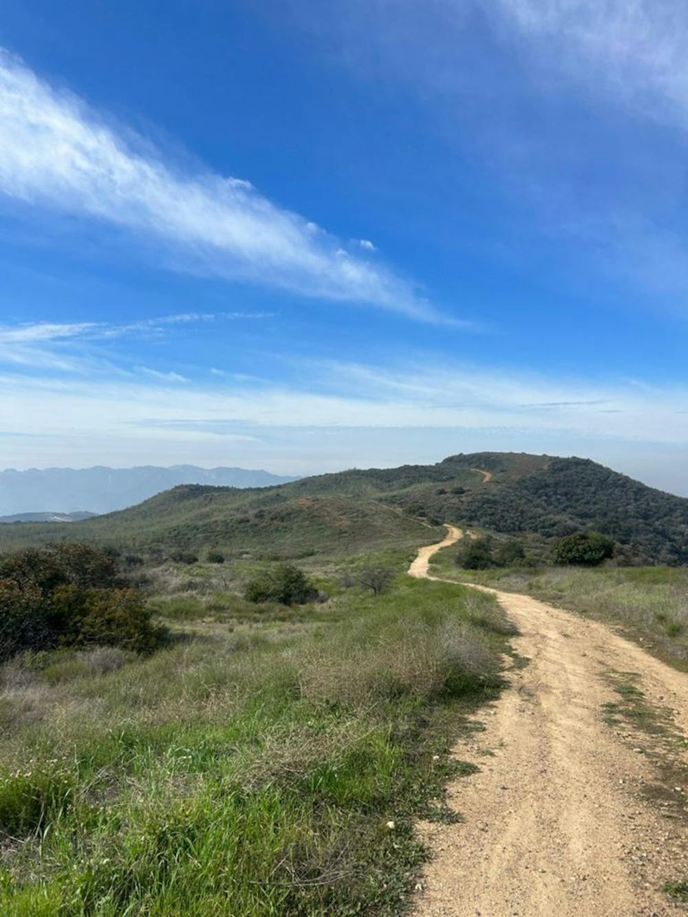
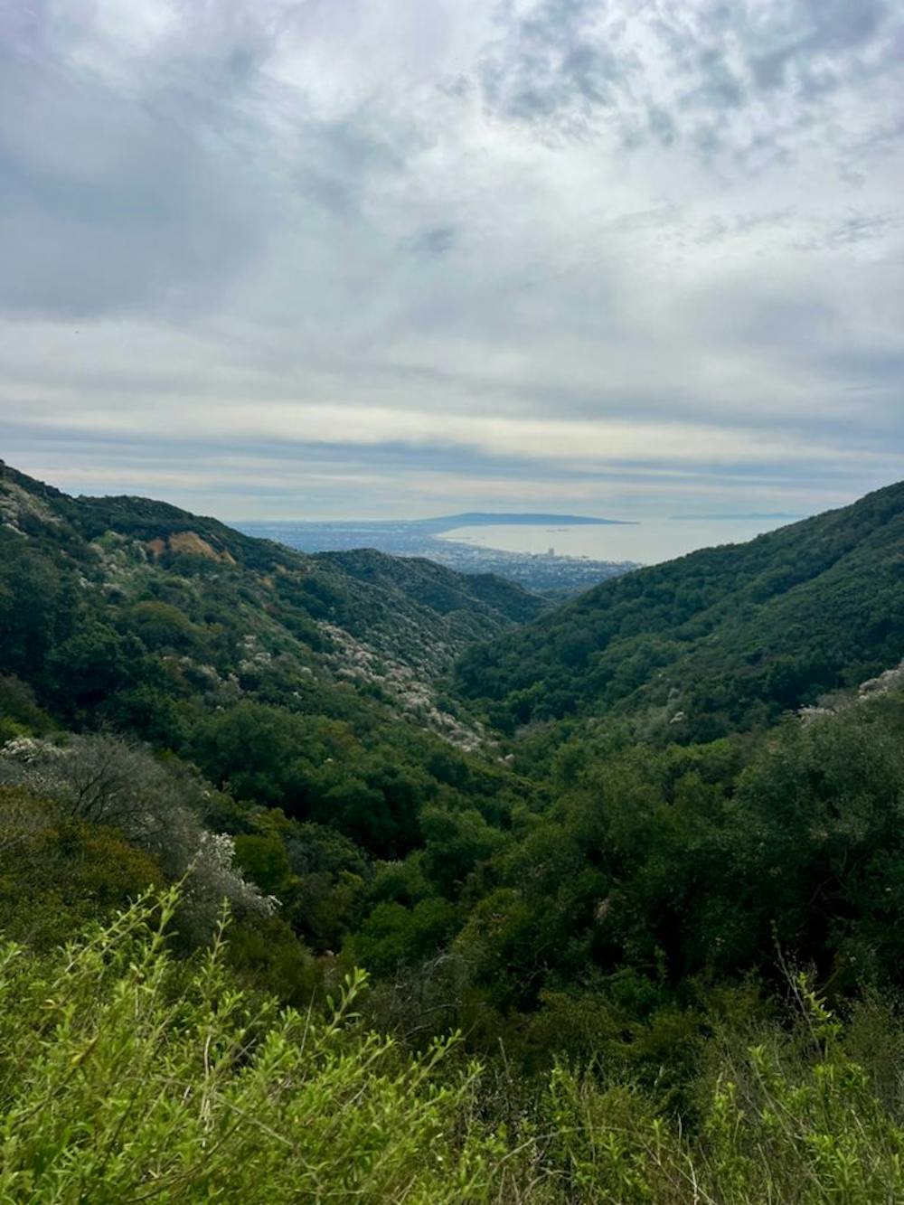
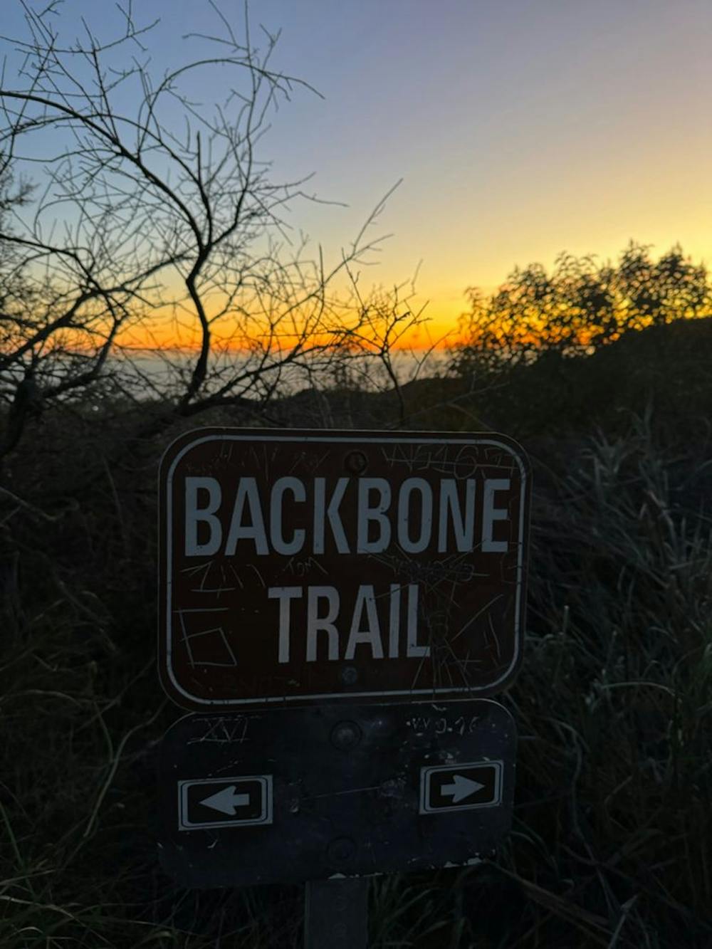
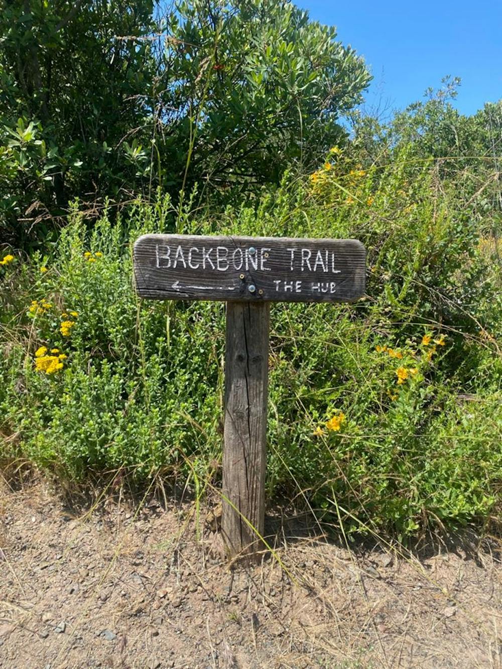
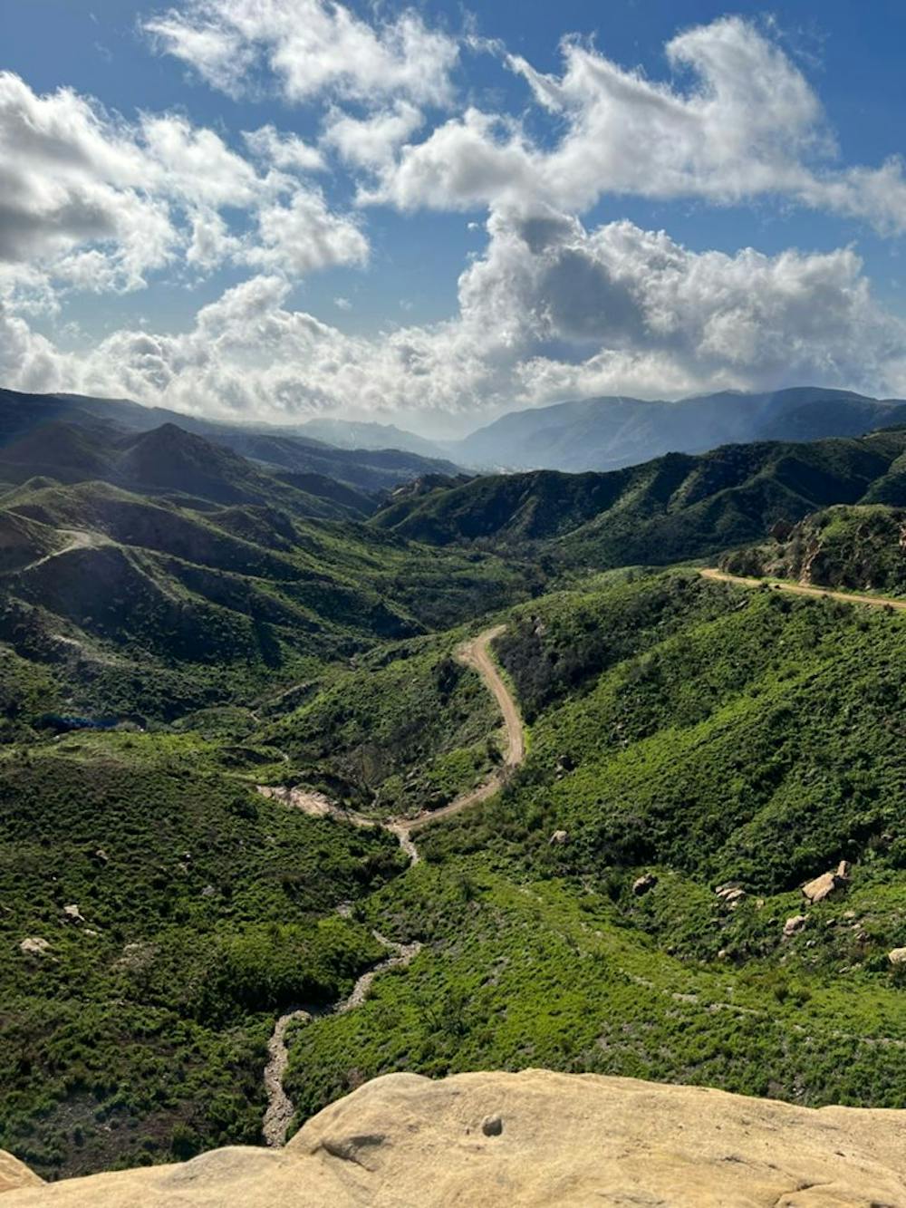
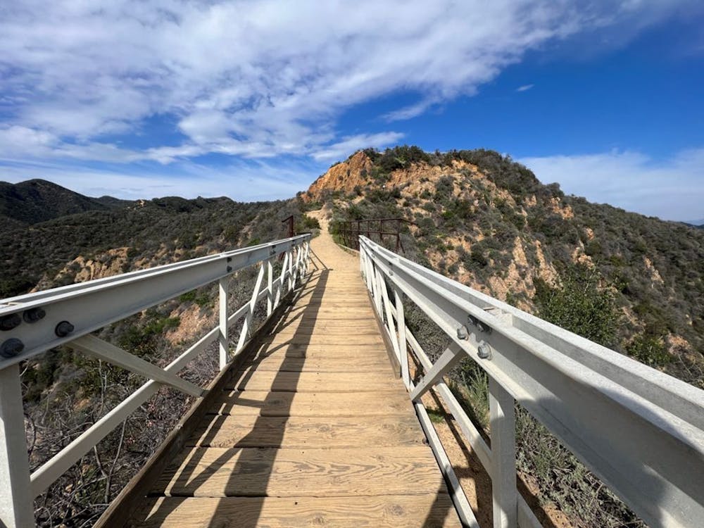
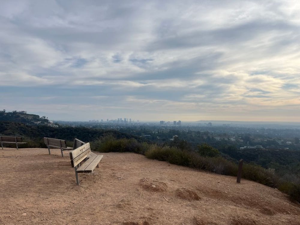
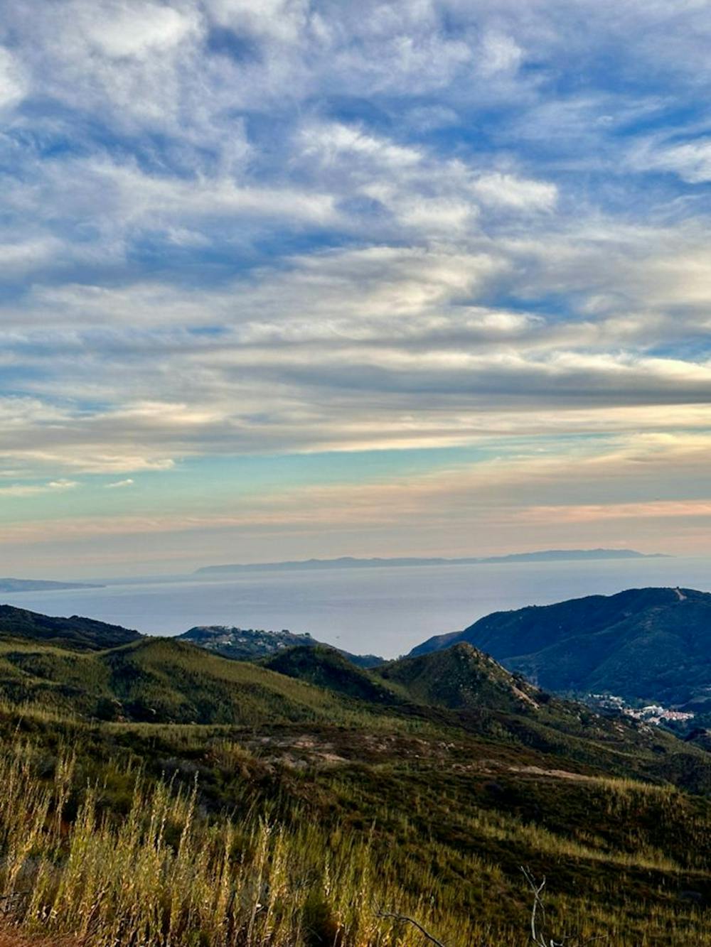
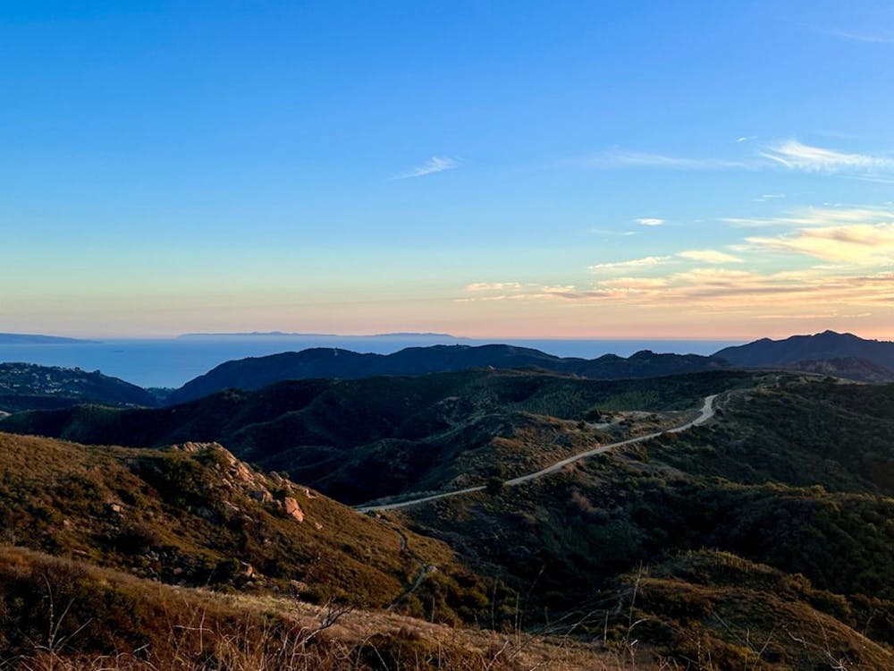
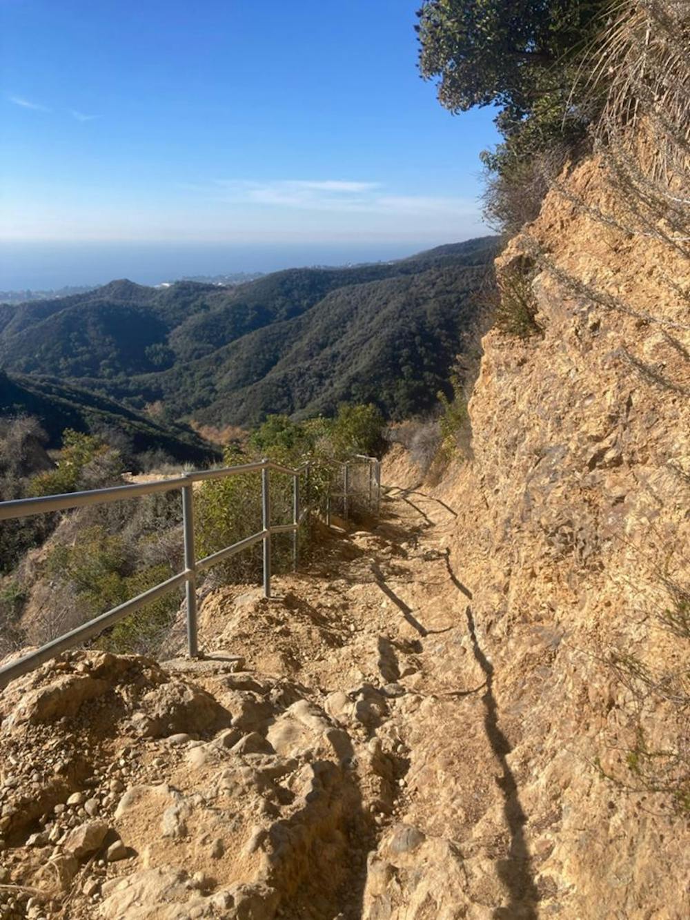
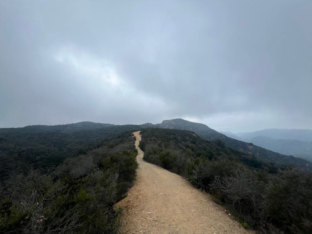
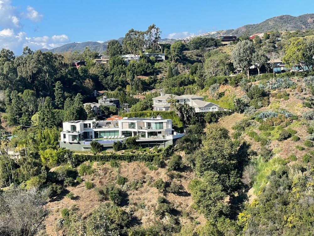
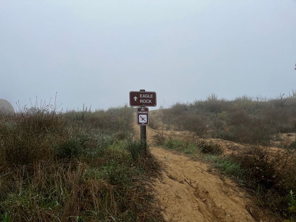
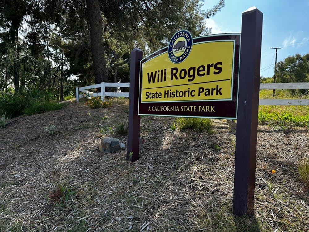
Traverse of Santa Monica Mountains: the Backbone Trail
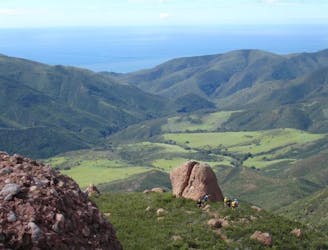
A complete traverse of the Santa Monica Mountains outside of Los Angeles along the Backbone Trail with terminuses at Will Rogers State Park and Ray Miller Trailhead
Difficult Trail Running
- Distance
- 106 km
- Ascent
- 3.8 km
- Descent
- 4 km