4.6 km away
Tuna Canyon Budwood Motorway
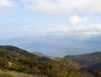
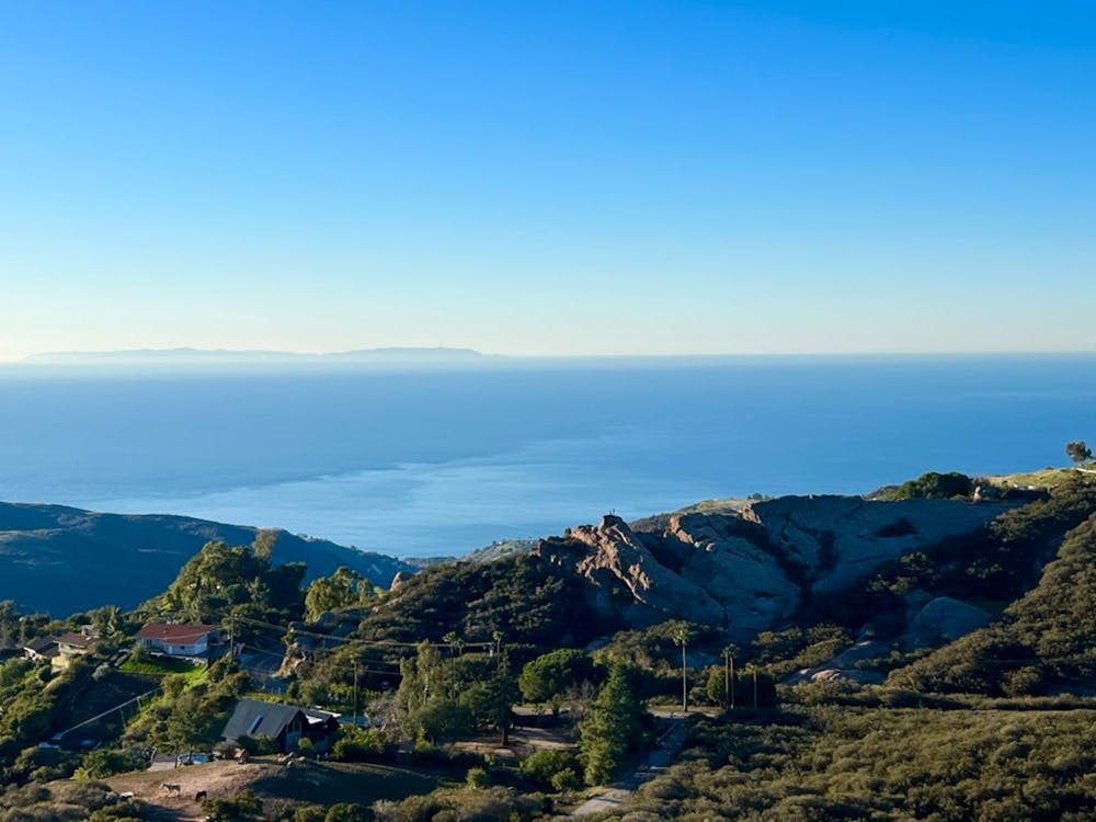
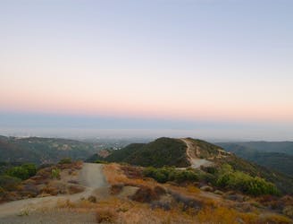
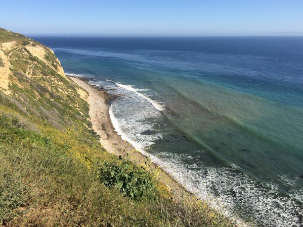
Ridgeline run with ocean views above the Pacific Coast Highway
Easy Trail Running
- Distance
- 4.9 km
- Ascent
- 182 m
- Descent
- 182 m
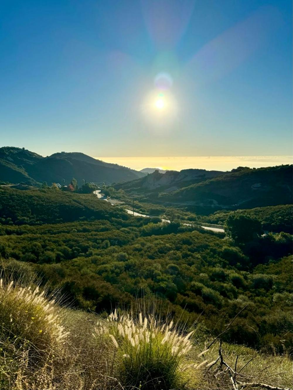
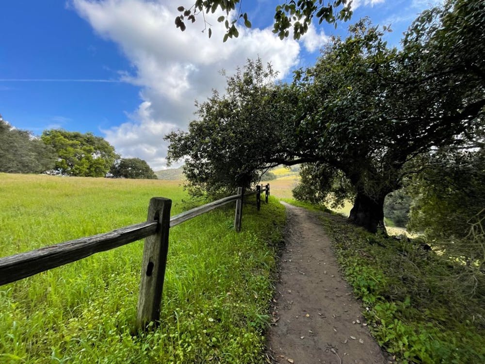
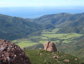
Backbone Trail Section 2 Trippet Ranch to Saddle Peak
Trail Running Moderate

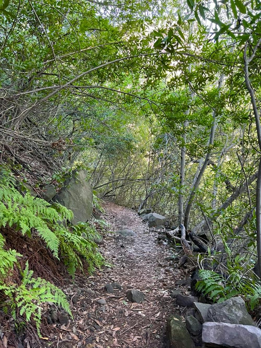
This is a popular trail running route which is generally considered to be moderate. It's remote, it features medium exposure and is typically done all year round. From a low point of 236 m to the maximum altitude of 753 m, the route covers 10 km, 656 vertical metres of ascent and 270 vertical metres of descent.
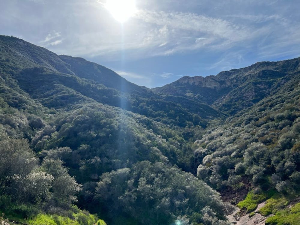
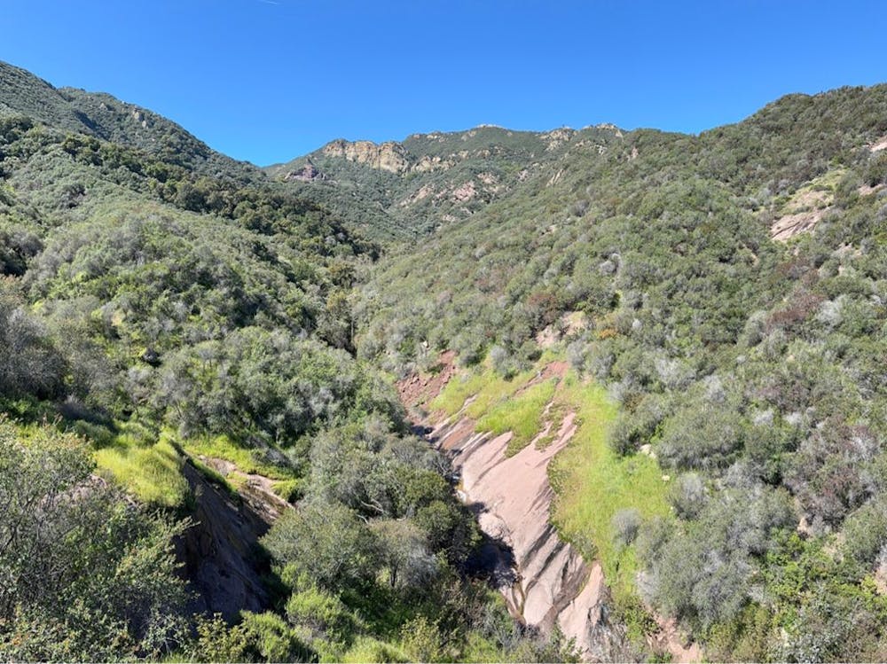
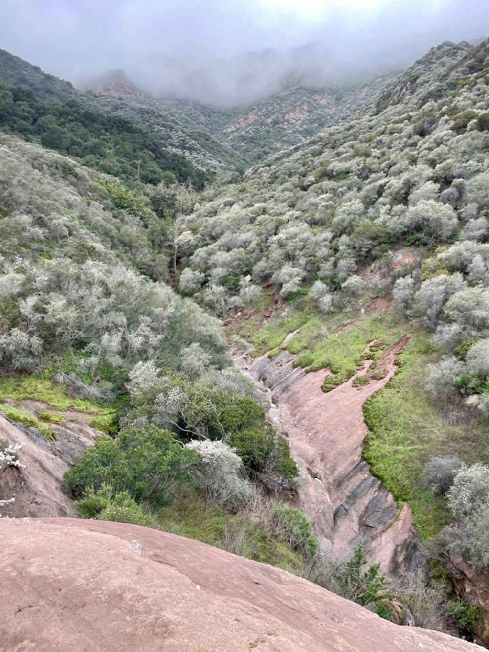
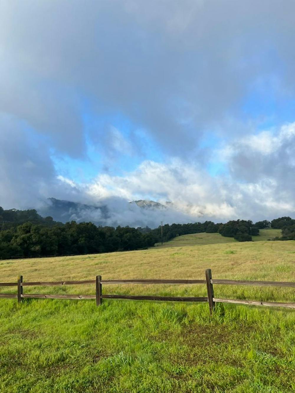
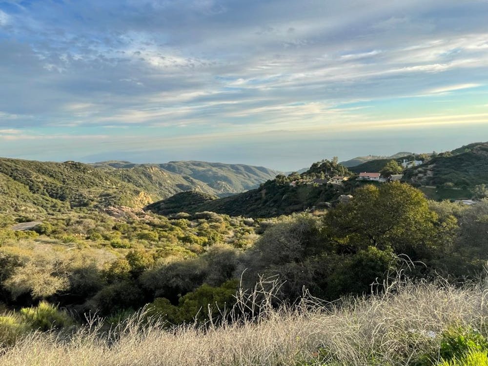
It’s a timeless kind of environment. The bottom of the canyon passes rolling grasslands that mark an ancestral border the Chumash shared with another native tribe, the Tongva.
Moderate

The trail contains some obstacles such as outcroppings and rock which could cause injury.
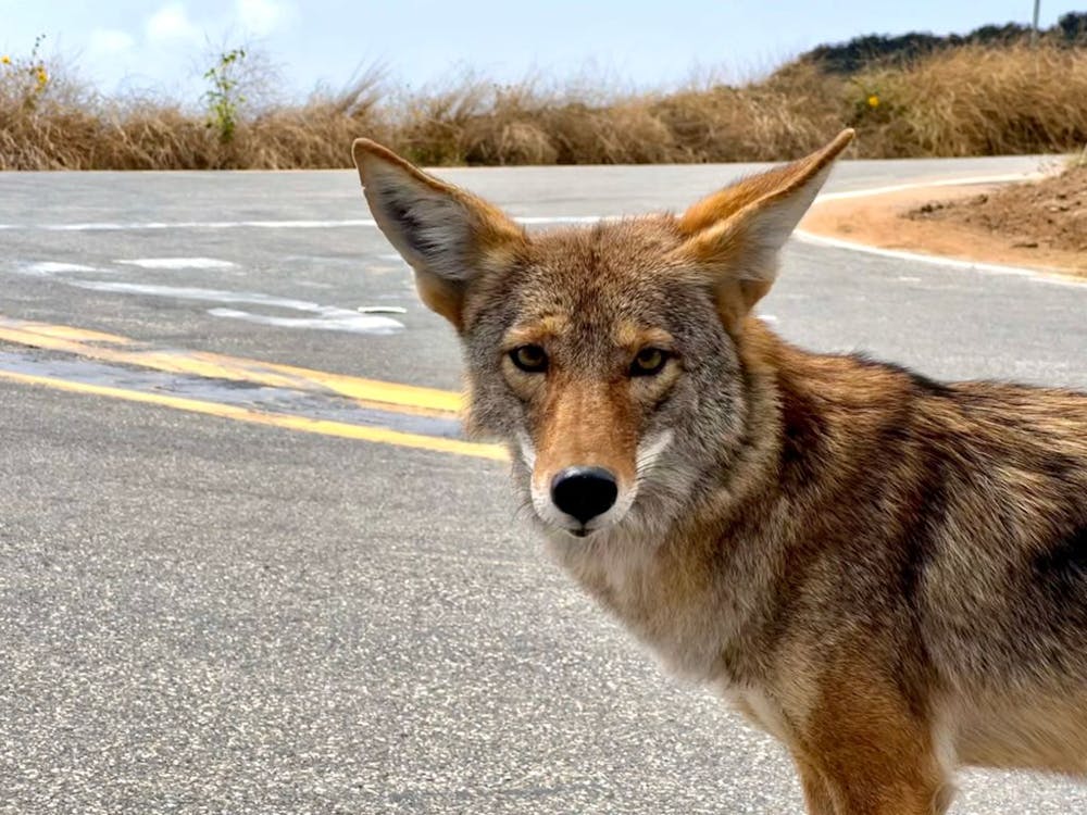
Away from help but easily accessed.
4.6 km away
Ridgeline run with ocean views above the Pacific Coast Highway
Easy Trail Running
7.3 km away
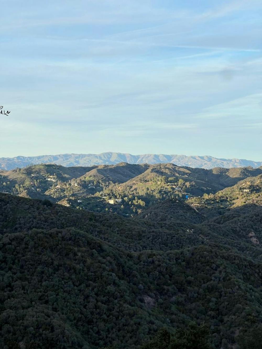
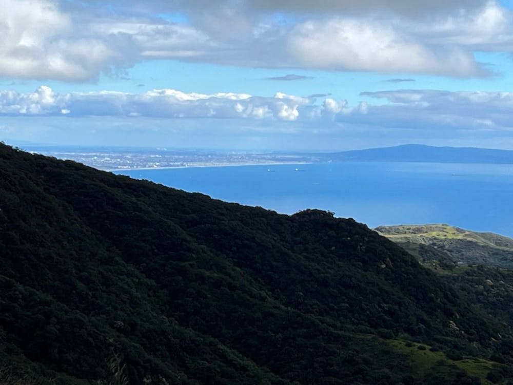
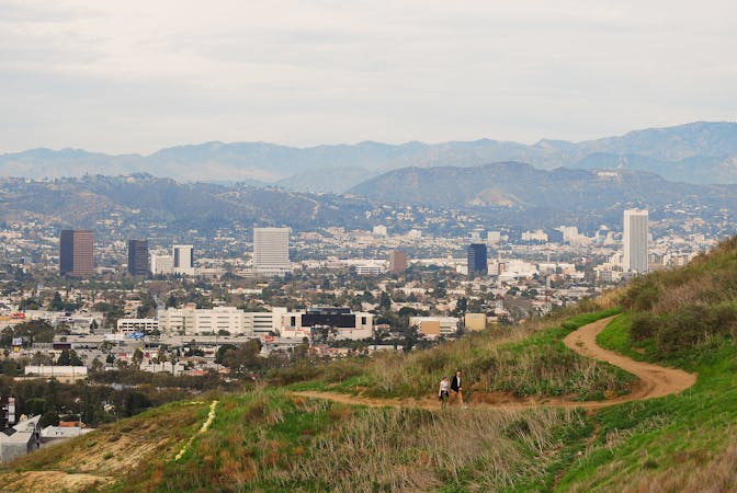
A tough mountain run with outstanding views over Los Angeles and Santa Monica.
Difficult Trail Running
8.1 km away
A complete traverse of the Santa Monica Mountains outside of Los Angeles along the Backbone Trail with terminuses at Will Rogers State Park and Ray Miller Trailhead
Difficult Trail Running
9 routes · Trail Running
4 routes · Trail Running

17 routes · Hiking · Trail Running