8.3 km away
Capitol Peak - Northeast Ridge
Capitol Peak is infamously one of Colorado's most difficult yet most rewarding 14ers.
Difficult Alpine Climbing
- Distance
- 26 km
- Ascent
- 1.8 km
- Descent
- 1.8 km
A two- or three-day mission to summit one of the most remote 14ers in Colorado, requiring snow travel and Class 3 scrambling with exposure.
Alpine Climbing Moderate

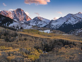
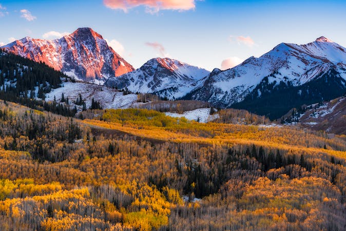
Snowmass Mountain, not to be confused with Snowmass Peak (13,619′) or Aspen Snowmass Ski Resort, is the third highest summit in the Elk Range of Colorado. Though it’s generally considered one of the easier peaks in this range to summit, the route is potentially deadly and the difficulty depends strongly on conditions. It’s best when the large snowfield on the east face is filled in and the snow is firm and stable. When melted out, loose talus underneath makes the hike much more grueling. This climb is always quite committing because Snowmass is one of the most remote summits in Colorado. Most attempts take place over 2-3 days.
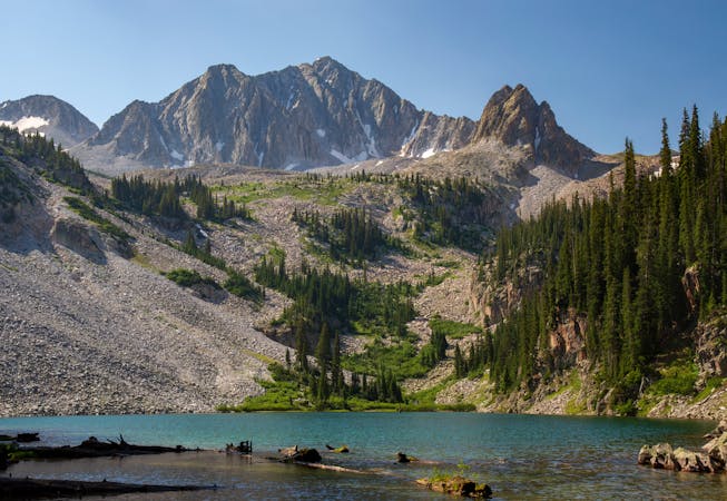
On the first day, hike 8 miles among gorgeous aspen groves and flowery meadows, along a rushing creek and beaver ponds. Make camp by an alpine lake beneath the gaze of the next day’s objective: The mountain’s huge snowfield and lofty summit.
From the campsites at the east end of the lake, follow a brushy trail along the south shore toward the huge, steep slope on the other side that leads to the peak. Work up and right (north) through a boulder field to get into a steep gully, which makes the most stable path upward. If it’s running with water, however, you’ll likely take the looser talus just to climber’s left.
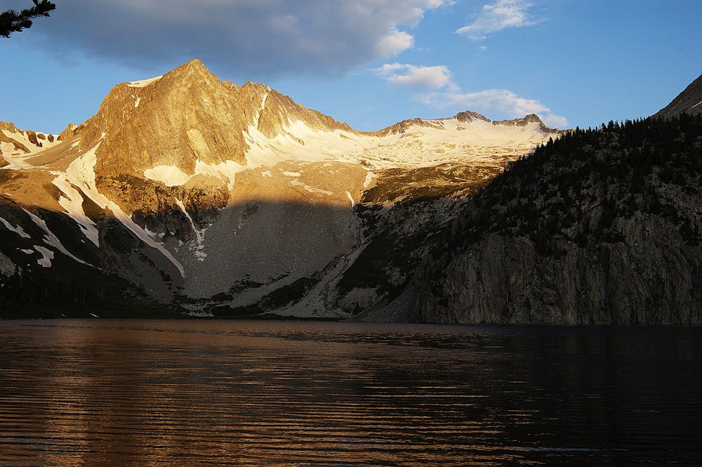
Follow the gully until the gradient lessens slightly at around 12,000 feet, at which point you can exit to climber’s right and continue straight up, with the summit in sight. Ideally the mountain’s namesake “snowmass” is filled in from here on upward, because it’s easier going than the talus beneath. Punch up the slope, aiming climber’s left of the true summit for a dome-like false summit on the ridgeline. A weakness through this feature provides the path of least resistance to the ridge crest.
Once you reach it, work through loose rock or—hopefully—stable snow to cross over the ridge to the west side and drop down a bit. From there, work your way along the ridge, below and left (west) of the toothy crest as you scramble Class 3 boulders and some wiggly rocks. As you near the summit, the talus gets smaller and looser, but even the large blocks can move, so use caution.
Scramble up one last blocky, steep section to stand beside the 6-foot-tall boulder that caps the summit. Enjoy your panorama from 14,098 feet. The most impressive sights are the huge snowfield below and the sky-splitting ridge that stretches all the way to Capitol Peak in the north.
To descend, retrace your route. With good snow conditions, the snowmass makes a glorious glissade.
Sources: https://www.14ers.com/routelist.php?peak=Snowmass+Mountain https://www.summitpost.org/snowmass-mountain/150300 https://www.summitpost.org/east-slopes-standard-route/445174
Moderate
May involve slightly more complex glacier hikes, easy but possibly long rock ridges and steep snow up to 45 degrees. Equivalent to PD, PD+

Much of the route is difficult to protect and a fall could be disastrous at certain points.

In the high mountains or remote conditions, all individuals must be completely autonomous in every situation.
8.3 km away
Capitol Peak is infamously one of Colorado's most difficult yet most rewarding 14ers.
Difficult Alpine Climbing
6 routes · Alpine Climbing · Hiking

7 routes · Alpine Climbing · Hiking
8 routes · Alpine Climbing
6 routes · Alpine Climbing

46 routes · Alpine Climbing · Hiking