165 m away
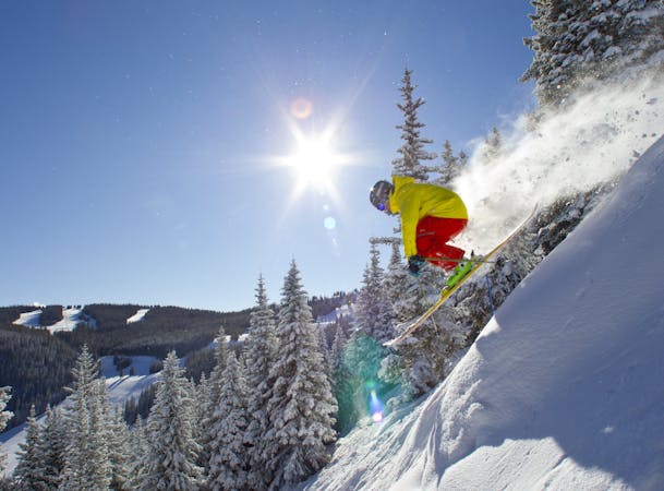
Divide and Conquor

This isn't much of a secret, but it can be really good, and the huge amount of terrain can stay good pretty long into a powder day.
Moderate Freeride Skiing
- Distance
- 1.2 km
- Ascent
- 0 m
- Descent
- 334 m
Find powder days after a storm.
Freeride Skiing Moderate

This is just one example of the many lines through the trees on this side of the Divide run and Skyline Express lift. It's easy to lap this terrain and not cross your tracks except at the very top. The skiing is generally fairly easy (well, for 35 degree tree skiing anyways) through mature forest. There are several playful creek beds, large boulders, and downed trees that keep things interesting. Navigation is easy: just keep following whatever looks fun. All lines end at the Kelly Toll Road, which leads back to the lift.
Moderate
Slopes become slightly steeper at around 25-30 degrees.

Close to help in case of emergency.
165 m away
This isn't much of a secret, but it can be really good, and the huge amount of terrain can stay good pretty long into a powder day.
Moderate Freeride Skiing
2.2 km away

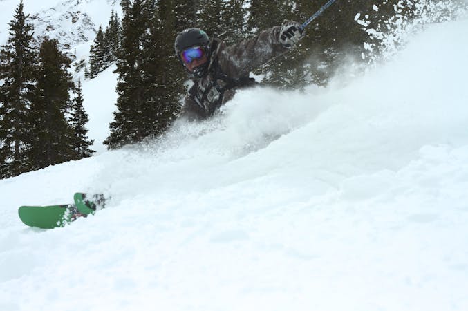
Hidden gem in China Bowl.
Moderate Freeride Skiing
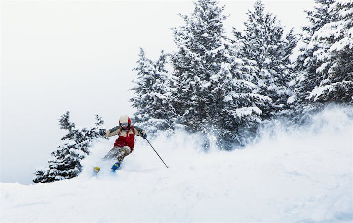
2.3 km away

China Bowl's worst kept secret.
Moderate Freeride Skiing
2.6 km away

Some incredible tree skiing in Sun Up Bowl.
Moderate Freeride Skiing
3.8 km away

Solid treeline that holds snow for weeks after a storm.
Moderate Freeride Skiing
3.9 km away

Epic tree skiing in Sun Down Bowl
Moderate Freeride Skiing
3.9 km away

Wow Widge
Moderate Freeride Skiing
4 km away

A large, steep open cliffed zone to be respected
Severe Freeride Skiing
4.1 km away

Long run that can be great on powder days. 1
Moderate Freeride Skiing
4.2 km away

Huge treeline with plenty of options.
Moderate Freeride Skiing
16 routes · Freeride Skiing
6 routes · Freeride Skiing
3 routes · Freeride Skiing · Resort Ski Touring