299 m away
Tele Line

Great introduction to East Vail Chutes
Difficult Freeride Skiing
- Distance
- 2.6 km
- Ascent
- 0 m
- Descent
- 790 m

A large, steep open cliffed zone to be respected
Freeride Skiing Severe

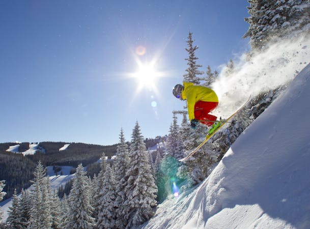
Marvins is a large expanse starting to the north, off the top of Benchmark proper. Marvins consists of two significant cliff bands on steep slopes, running approximately 1200'. "East" Marvins can be less navigable, as it winds down a treed drainage. East Marvins is the first drainage to the north off the top of Benchmark and is skier left of Abes. The Marvins zone needs to be given respect as it has significant cliffs, and hazardous run outs. This zone ends in the main basin. To exit the area, follow the basin out, always being aware of drops and terrain traps. The final open meadow will lead you to a narrow track which returns to the East Vail neighborhood where the bus to Vail Village can be found.
Severe
Steep skiing at 38-45 degrees. This requires very good technique and the risk of falling has serious consequences.
299 m away

Great introduction to East Vail Chutes
Difficult Freeride Skiing
323 m away

A classic big air descent
Severe Freeride Skiing
429 m away

A locals favorite
Difficult Freeride Skiing
641 m away

Fun big, exposed line
Severe Freeride Skiing
1.2 km away

A fun couloir with multiple options
Difficult Freeride Skiing
2 km away

China Bowl's worst kept secret.
Moderate Freeride Skiing
2.1 km away

Hidden gem in China Bowl.
Moderate Freeride Skiing
3.5 km away

Some incredible tree skiing in Sun Up Bowl.
Moderate Freeride Skiing
3.5 km away

Solid treeline that holds snow for weeks after a storm.
Moderate Freeride Skiing
3.8 km away

Long gully, epic on powder days.
Moderate Freeride Skiing

16 routes · Freeride Skiing

6 routes · Freeride Skiing