33 m away
Tele Line

Great introduction to East Vail Chutes
Difficult Freeride Skiing
- Distance
- 2.6 km
- Ascent
- 0 m
- Descent
- 790 m
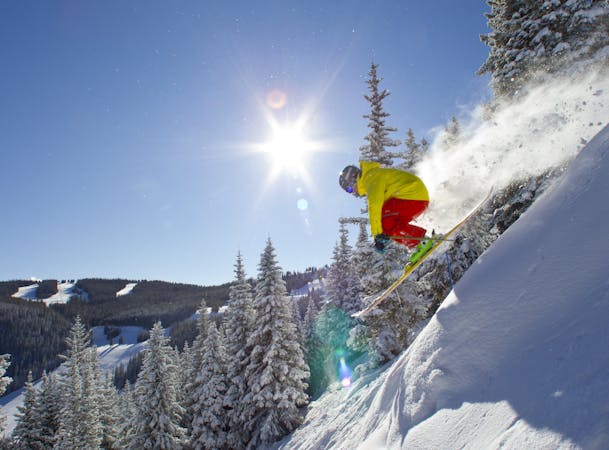
A classic big air descent
Freeride Skiing Severe

This is the most straightforward run to find in East Vail, however, it can be the most difficult to navigate. Abe's starts at the treed corner pocket (skiers left) off the top of Benchmark, and curves slightly north to the entry of Tweeners on skiers right. The treed zone of Abe's is less air, but can be tough to maneuver, and find clean, safe lines. The majority of Abes has mandatory air, including one classic 30+ footer. Exposure in Abes is significant and a solid cornice can build up in the right conditions. Make sure to clear the run out zone at the bottom while waiting for your partners. This is an area you may want to avoid during days of storm, and wind slab warnings as the likelihood of avalanche can be significant since Abes drops you into the middle of the main basin, the rest of the run is easy to follow out. There are a variety of ways to ski out the basin, be aware of the slopes above you, watch for drops and one ice fall when the valley narrows. All tracks will lead to a fun lower meadow, often times sun baked in the spring, and the single track back to the bus.
Severe
Steep skiing at 38-45 degrees. This requires very good technique and the risk of falling has serious consequences.

As well as the slope itself, there are some obstacles (such as rock outcrops) which could aggravate injury.
Away from help but easily accessed.
33 m away
Great introduction to East Vail Chutes
Difficult Freeride Skiing
127 m away

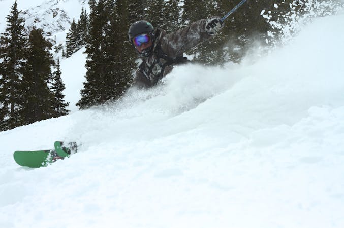
A locals favorite
Difficult Freeride Skiing
323 m away

A large, steep open cliffed zone to be respected
Severe Freeride Skiing
359 m away

Fun big, exposed line
Severe Freeride Skiing
1 km away

A fun couloir with multiple options
Difficult Freeride Skiing
2.3 km away

China Bowl's worst kept secret.
Moderate Freeride Skiing
2.4 km away

Hidden gem in China Bowl.
Moderate Freeride Skiing
3.8 km away

Solid treeline that holds snow for weeks after a storm.
Moderate Freeride Skiing
3.8 km away

Some incredible tree skiing in Sun Up Bowl.
Moderate Freeride Skiing
4.1 km away

Long gully, epic on powder days.
Moderate Freeride Skiing
16 routes · Freeride Skiing
6 routes · Freeride Skiing