4.5 km away
Hartman Rocks: Top of the World Loop
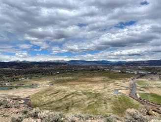
Hike along the elevated ridgeline with stunning views of the Gunnison Valley.
Difficult Hiking
- Distance
- 13 km
- Ascent
- 383 m
- Descent
- 383 m
A short but scenic hike in the far reaches of Hartman Rocks.
Hiking Difficult

If you're looking for a scenic and moderately challenging hike near Gunnison, Colorado, you might want to check out the Bambi's and Sawtooth lollipop loop hike.
This 3.1-mile loop trail takes you through sandstone formations, aspen groves, sagebrush fields, and river views. You'll also enjoy some wildflowers in the summer and fall colors in the autumn.
The trail has some elevation gain and some sections of slickrock that require careful footing, but nothing too difficult. You can hike this trail in either direction, but most people prefer to go south to north for more downhill. The trail is well marked and easy to follow, and you'll likely have it all to yourself.
This hike is a great way to experience the beauty and solitude of the Gunnison area. Just make sure to bring water and sunscreen, as the trail is exposed and can get hot in the summer.
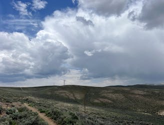
Note: All trails south of the Powerline Road—which includes this entire ride—are closed seasonally from March 15th - May 15th for sage grouse habitat. Please respect this seasonal closure—there is plenty of time to hike these trails after May 15th.
Source: https://originalgrowler.com/
Difficult
Hiking trails where obstacles such as rocks or roots are prevalent. Some obstacles can require care to step over or around. At times, the trail can be worn and eroded. The grade of the trail is generally quite steep, and can often lead to strenuous hiking.

The trail contains some obstacles such as outcroppings and rock which could cause injury.
Away from help but easily accessed.
4.5 km away
Hike along the elevated ridgeline with stunning views of the Gunnison Valley.
Difficult Hiking
4.6 km away

An easily-accessible loop at Hartman Rocks touring some of the best trails.
Difficult Hiking
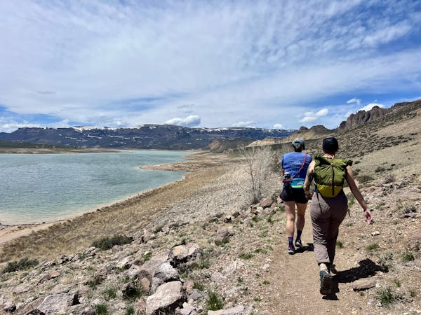
9.7 km away
A beautiful loop hike accessible directly from the outskirts of Gunnison.
Easy Hiking
11 routes · Hiking