816 m away
Hartman Rocks Loop
An easily-accessible loop at Hartman Rocks touring some of the best trails.
Difficult Hiking
- Distance
- 14 km
- Ascent
- 378 m
- Descent
- 378 m
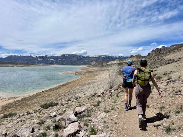
Hike along the elevated ridgeline with stunning views of the Gunnison Valley.
Hiking Difficult

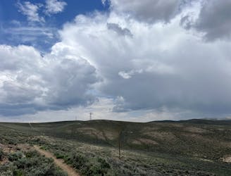
While Hartman Rocks is known primarily as a trail system for mountain biking, the multi-use trail system also offers great hiking opportunities. With a rich history carved initially by moto riders, the trails have evolved into a labyrinth of possibilities for hikers. Hartman Rocks offers a wide spectrum of terrain—from sandy paths to rocky challenges that will test your mettle, sprawling across an immense area.
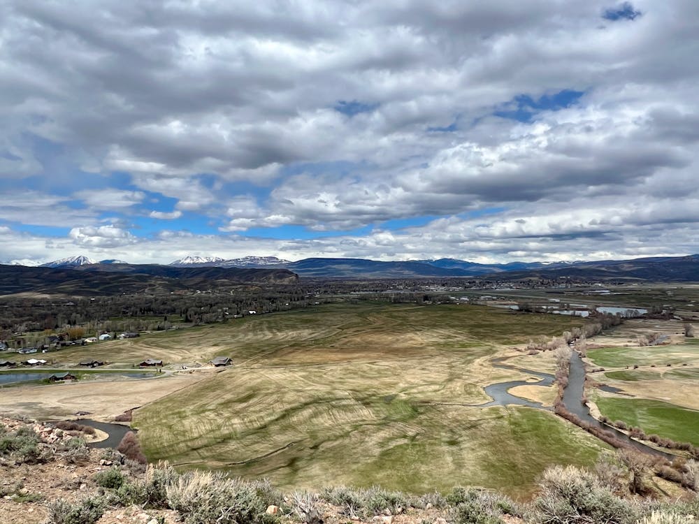
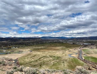
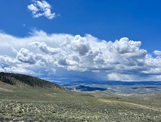
The trails at Hartman's are found on an elevated high desert mesa filled with beautiful decomposing granite rock formations. The northern end of the mesa ends in a steep cliffside that drops precipitously to the valley below. Along the top of the cliff bands and steep hillside run a series of stunningly-beautiful trails, anchored by the aptly-named "Top of the World" trail.
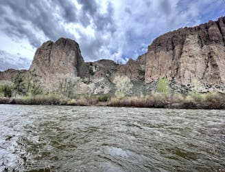
The singletrack here winds up and down through beautiful rock formations on the edge of the cliffs. These elevated stretches of trail provide hikers with expansive views over the Gunnison Valley, the town of Gunnison, and the Elk Range beyond. And if you look to the south, you can also catch glimpses of the San Juans in the distance. The singletrack through this section is quite rocky and chunky, but all obstacles are easy to overcome.
While a short section of doubletrack dirt road is utilized to make the loop connection, the road hiking is short, and the vast majority of this 8.4-mile loop is on beautiful singletrack!
Difficult
Hiking trails where obstacles such as rocks or roots are prevalent. Some obstacles can require care to step over or around. At times, the trail can be worn and eroded. The grade of the trail is generally quite steep, and can often lead to strenuous hiking.

The trail contains some obstacles such as outcroppings and rock which could cause injury.
Away from help but easily accessed.
816 m away
An easily-accessible loop at Hartman Rocks touring some of the best trails.
Difficult Hiking
4.5 km away

A short but scenic hike in the far reaches of Hartman Rocks.
Difficult Hiking
5.8 km away
A beautiful loop hike accessible directly from the outskirts of Gunnison.
Easy Hiking
6.1 km away
A beautiful gravel path through one of the most easily-accessible greenspaces adjacent to the town of Gunnison.
Easy Hiking
6.1 km away
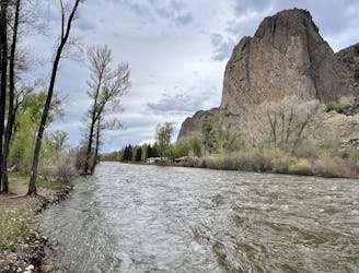
A short, direct hike to the beautiful banks of the Gunnison River.
Easy Hiking
8.6 km away
A scenic loop deep in the Signal Peak trail system.
Moderate Hiking
11 routes · Hiking