3 km away
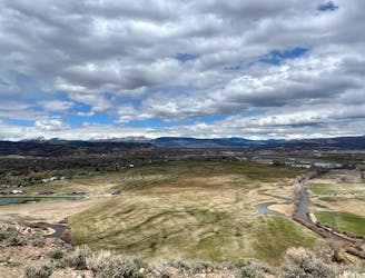
Contour Trail -> Canal Trail Loop
A beautiful loop hike accessible directly from the outskirts of Gunnison.
Easy Hiking
- Distance
- 7.3 km
- Ascent
- 69 m
- Descent
- 69 m
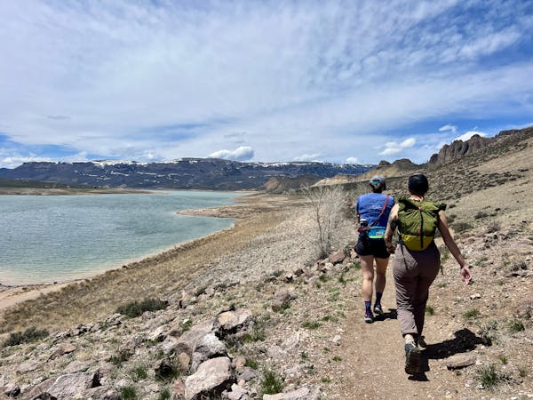
A scenic loop deep in the Signal Peak trail system.
Hiking Moderate

The Signal Peak trail system offers miles upon miles of flowing singletrack trails. Two of the trails buried in the trail system, Duane's World and Chicken Wing, form an attractive loop when linked by the scenic South Rim trail.
This loop starts from a trailhead parking area at the marked beginning, so you can drive deep into the heart of Signal Peak and hike from here for a shorter outing (compared to beginning from town).
The loop begins by climbing Duane's World, a fantastic machine-built singletrack that climbs gradually for about three miles to access the top of the ridge. The trail tread is smooth and flowy, with plenty of grade reversals, making for an easy ascent to the ridge.
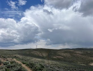
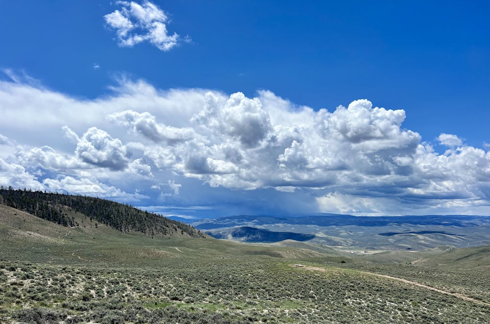
The climb continues on the South Rim Trail. From the side of Signal Peak, the views of the surrounding region are absolutely phenomenal! Thanks to the sagebrush-covered slopes, the million-dollar views are wide-open and unobstructed. On a clear day, you can easily spot the jagged San Juan mountains to the south poking up over the lower ranges in the foreground.
As you round Signal Peak and reach the saddle, prepare to have your breath taken away by the stunning views of the Elk Range that open up to the north and west! This ride is truly a stunner, with a high effort-to-view ratio.
From the saddle, the descent kicks up on the Shoelace trail before dropping quickly down the Chicken Wing descent. Chicken Wing is an older trail than Duane's World, descending faster and straighter over some small rolling rocks toward the trailhead where you began.
Moderate
Hiking along trails with some uneven terrain and small hills. Small rocks and roots may be present.

The path is on completely flat land and potential injury is limited to falling over.

Away from help but easily accessed.
3 km away
A beautiful loop hike accessible directly from the outskirts of Gunnison.
Easy Hiking
4.4 km away
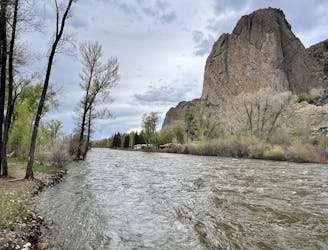
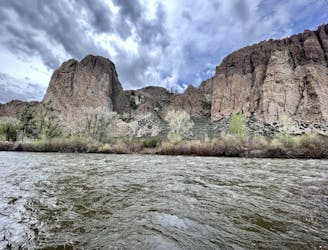
A short, direct hike to the beautiful banks of the Gunnison River.
Easy Hiking
4.4 km away
A beautiful gravel path through one of the most easily-accessible greenspaces adjacent to the town of Gunnison.
Easy Hiking
8 km away

An easily-accessible loop at Hartman Rocks touring some of the best trails.
Difficult Hiking
8.6 km away
Hike along the elevated ridgeline with stunning views of the Gunnison Valley.
Difficult Hiking
11 routes · Hiking