1 m away
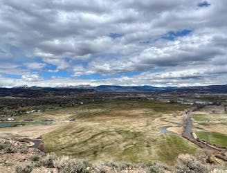
Van Tuyl Loop
A beautiful gravel path through one of the most easily-accessible greenspaces adjacent to the town of Gunnison.
Easy Hiking
- Distance
- 5.9 km
- Ascent
- 19 m
- Descent
- 19 m
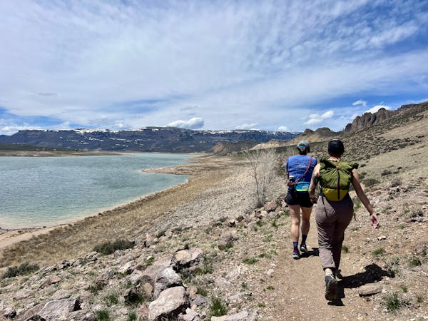
A short, direct hike to the beautiful banks of the Gunnison River.
Hiking Easy

The Gunnison River can be easily reached from the Van Tuyl Trailhead, making for a wonderful hike directly from downtown Gunnison! The route shown here departs from the main parking lot, but many locals will walk here from their houses to reach the trail and add additional mileage.
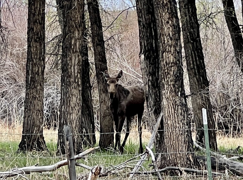
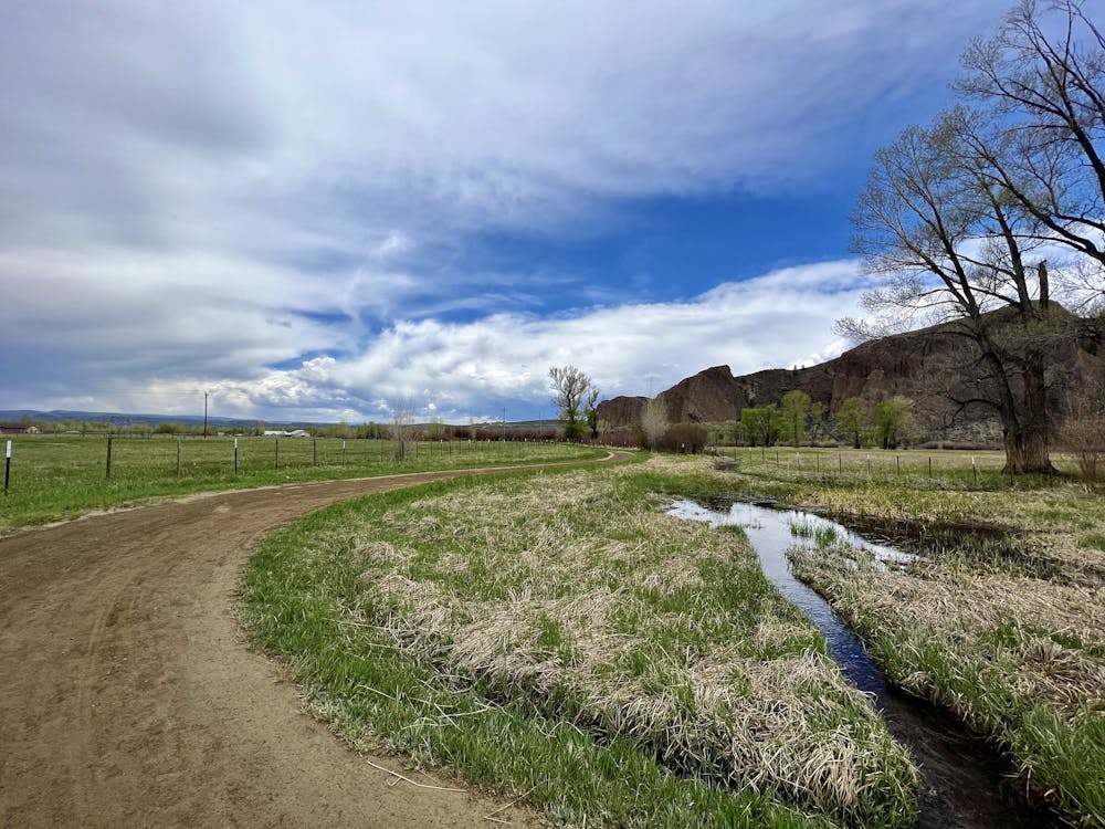
What this short hike lacks in distance and difficulty, it more than makes up for in beauty! The hike to the river follows a wide gravel path, then it passes through a fence and switches to a combination of elevated boardwalk and some narrow singletrack. All manner of birds live along this path, and at certain times of day, you can see other wildlife, such as deer, foxes, and moose.
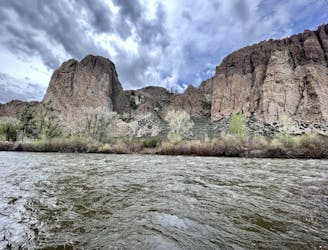
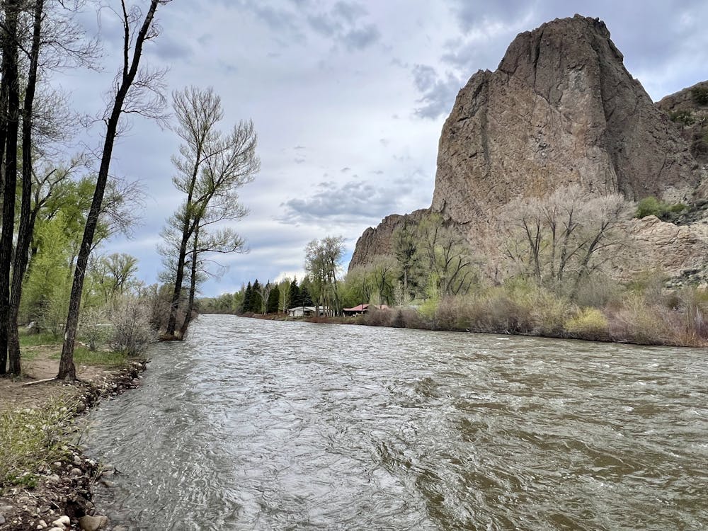
The goal is the river itself, and the view from the banks is stupendous! You'll enjoy incredible scenery consisting of the river's rushing waters, pristine cottonwood trees, and towering cliffs on the opposite side. Consider bringing a sack lunch to spend some time simply sitting and enjoying this idyllic setting.
Note: According to trail signs, to legally access the river, "all persons 16 and older. . .are required to possess a valid Colorado hunting or fishing license or a state wildlife area pass."
Easy
Walking along a well-kept trail that’s mostly flat. No obstacles are present.

The path is on completely flat land and potential injury is limited to falling over.
Close to help in case of emergency.
1 m away
A beautiful gravel path through one of the most easily-accessible greenspaces adjacent to the town of Gunnison.
Easy Hiking
2.1 km away
A beautiful loop hike accessible directly from the outskirts of Gunnison.
Easy Hiking
4.4 km away
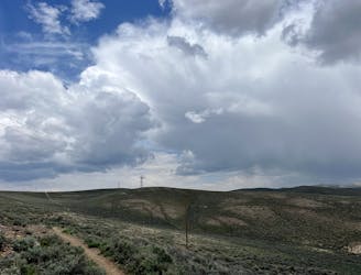
A scenic loop deep in the Signal Peak trail system.
Moderate Hiking
5.9 km away

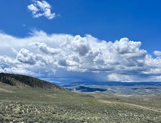
An easily-accessible loop at Hartman Rocks touring some of the best trails.
Difficult Hiking
6.1 km away
Hike along the elevated ridgeline with stunning views of the Gunnison Valley.
Difficult Hiking
11 routes · Hiking