1.6 km away
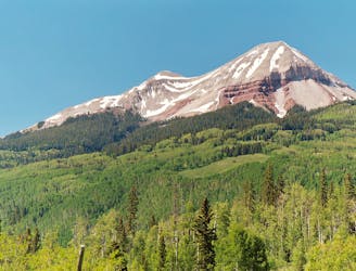
Sultan Mountain and Spencer Peak
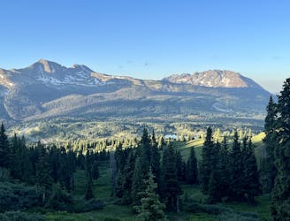
Tag two 13ers that are easily-accessible from Molas Pass.
Severe Hiking
- Distance
- 12 km
- Ascent
- 1 km
- Descent
- 1 km
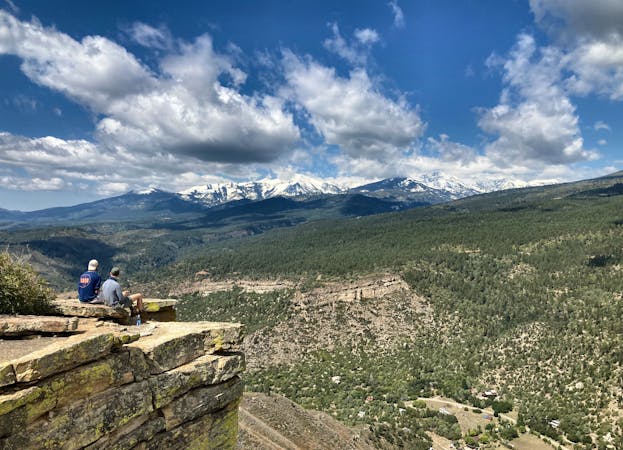
Beautiful Scenic Hike to Crater Lake and Back
Hiking Moderate

This is a popular hiking route which is generally considered to be moderate. It's very remote, it features low exposure and is typically done between June and September. From a low point of 3.3 km to the maximum altitude of 3.6 km, the route covers 18 km, 615 vertical metres of ascent and 616 vertical metres of descent.
Amazing scenery arriving at Crater Lake
Moderate
Hiking along trails with some uneven terrain and small hills. Small rocks and roots may be present.

The path is on completely flat land and potential injury is limited to falling over.

Little chance of being seen or helped in case of an accident.
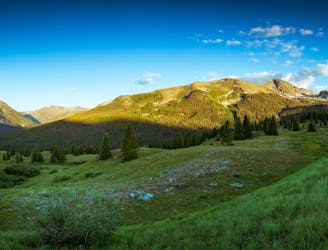
1.6 km away
Tag two 13ers that are easily-accessible from Molas Pass.
Severe Hiking
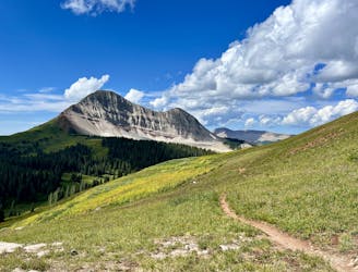
1.7 km away
A stunning alpine traverse hike.
Difficult Hiking
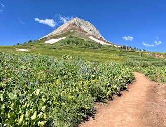
5.6 km away
A high-value alpine loop hike easily accessible from the Million Dollar Highway.
Moderate Hiking
6.7 km away
A popular conduit into the alpine.
Moderate Hiking
6.7 km away
This out-and-back climbs the slopes of Engineer Mountain and rewards with high-altitude wildflowers, views of a rare rock glacier, and a technical summit ridge.
Extreme Hiking
10 routes · Alpine Climbing · Hiking