1.2 km away
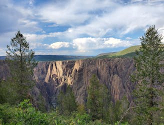
Oak Flat Loop
Stunning views with a bit more climbing than most rim hikes in the park.
Difficult Hiking
- Distance
- 2.7 km
- Ascent
- 151 m
- Descent
- 151 m
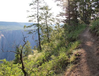
Head off the beaten path on the Deadhorse Trail.
Hiking Moderate

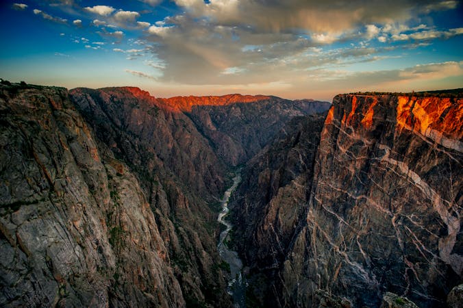
While the Black Canyon of the Gunnison is the least-visited national park in the state of Colorado, some of the trails can still get crowded on holidays and weekends. If you want to leave most of the crowds behind, head to the little-used Deadhorse Trail.
"This trail leads away from the rim for a bit but meanders back for several dramatic views and, ultimately, a look at Deadhorse Gulch, a major tributary ravine of the Black," writes Lindsey B. King on 5280.com.
The trail passes through "an uplands area of oak brush and sage," according to GJHikes.com. This sage brush zone provides a classic Western environment that may feel novel to tourists from the heavily-vegetated East Coast. If you want a true Wild West hiking experience, head to the Deadhorse Trail!
Moderate
Hiking along trails with some uneven terrain and small hills. Small rocks and roots may be present.

The path is on completely flat land and potential injury is limited to falling over.

Little chance of being seen or helped in case of an accident.
1.2 km away
Stunning views with a bit more climbing than most rim hikes in the park.
Difficult Hiking
1.2 km away
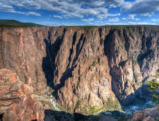
The "easiest" route down to the bottom of the canyon is still a formidable adventure.
Extreme Hiking
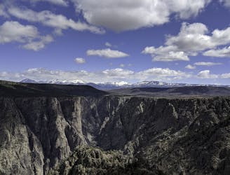
3.7 km away
One of the top hikes in the national park.
Moderate Hiking
5.7 km away
A short hike yielding impressive views!
Easy Hiking
5 routes · Hiking

63 routes · Alpine Climbing · Hiking