1 m away
Oak Flat Loop
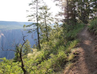
Stunning views with a bit more climbing than most rim hikes in the park.
Difficult Hiking
- Distance
- 2.7 km
- Ascent
- 151 m
- Descent
- 151 m
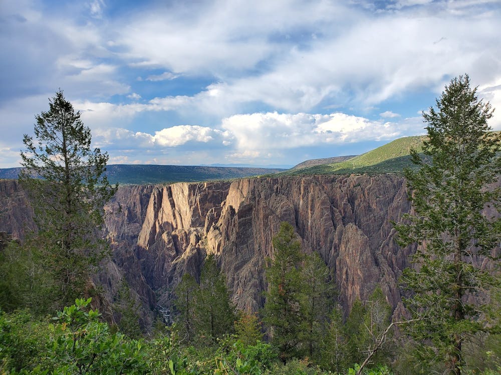
The "easiest" route down to the bottom of the canyon is still a formidable adventure.
Hiking Extreme

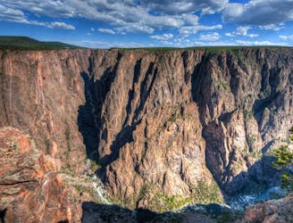
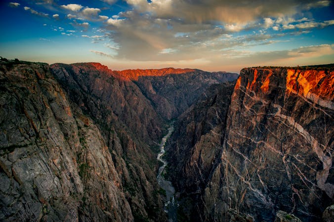
Reaching the bottom of the Black Canyon of the Gunnison is no easy feat. There are a few different routes down to the bottom, and even though the Gunnison Route is generally considered to be the easiest, it still requires some respectable rock scrambling.
Before you get started, note that you'll need a wilderness permit to hike down into the bottom of the canyon. They can be obtained for free at the visitor center, but only 15 permits are issued per day for this trail. However, that's more than some other trails into the canyon.
"The hike down to the river is an almost constant battle not to wipe out or fall on your butt, as you hike down trails of gravel, loose rock, and scree fields," writes Julie on EarthTrekkers.com. "The way back up can be hot and exhausting. Your thighs are already fatigued from the journey to the river, and now they must carry you back up to the rim," she continues.
Most of the route consists of braided social trails that descend shifting, loose soil. In one section, a chain has been attached to a tree to provide a secure handhold through a particularly loose, steep section.
Just how steep is it? Most sources claim that this hike is about 3 miles round-trip, dropping over 1,800 vertical feet into the canyon in half that distance. However, according to FATMAP's measurements, even with a jaunt to the overlook, this route is only about 1.8 miles round-trip. That's an absurd amount of elevation change in such a short distance! Ensure that you're up for the challenge before you drop into the canyon, because there's only one way back up...
Extreme
Scrambling up mountains and along technical trails with moderate fall exposure. Handholds are necessary to navigate the trail in its entirety, although they are not necessary at all times. Some obstacles can be very large and difficult to navigate, and the grades can often be near-vertical. The challenge of the trail and the steepness of the grade results in very strenuous hiking. Hikes of this difficulty blur the lines between "hiking" and "climbing".

The trail contains some obstacles such as outcroppings and rock which could cause injury.

Little chance of being seen or helped in case of an accident.
1 m away
Stunning views with a bit more climbing than most rim hikes in the park.
Difficult Hiking
1.2 km away

Head off the beaten path on the Deadhorse Trail.
Moderate Hiking
3.9 km away
One of the top hikes in the national park.
Moderate Hiking
4.9 km away
A short hike yielding impressive views!
Easy Hiking
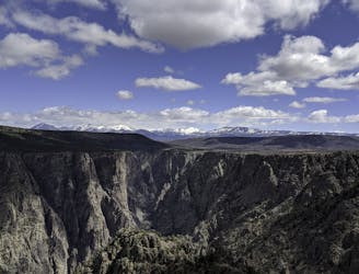
5 routes · Hiking

63 routes · Alpine Climbing · Hiking