Miners Trace Waterfall Loop
A beautiful loop visiting the Miners Trace Waterfall.
Moderate Hiking
- Distance
- 5.2 km
- Ascent
- 150 m
- Descent
- 150 m
Circumnavigate the small but scenic Haviland Lake Trail System.
Hiking Difficult

The trails at Haviland Lake aren't renowned as the best hiking trails in the Durango area, but they're awfully convenient if you happen to be camping at the Haviland Lake Campground. And for those who are willing to investigate, they also hide some beautiful sites and peaceful spots.
This trail system is extremely popular with horseback riders, largely thanks to the nearby Bears Ranch stable that offers guided horseback rides. However, the stable is closed at least one day per week—on Sundays in the summertime and Mondays in the fall—providing a perfect window of opportunity for hikers and runners to get out on the trails. (Note: even though commercial rides won't be happening, you can still encounter horses on these trails.)
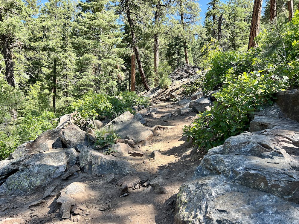
The route mapped here follows the perimeter of the trail system, which includes the rockiest trail in the network and some of the trails with the best views.
The route begins from a trailhead near the Haviland Lake Campground. After heading down into the trail system, you'll take two left turns to pick up the Miner's Trace trail.
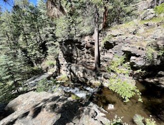
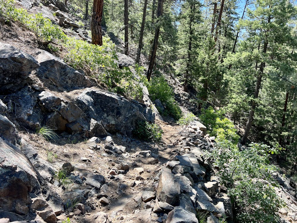
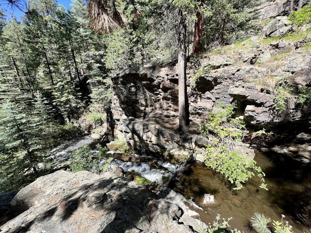
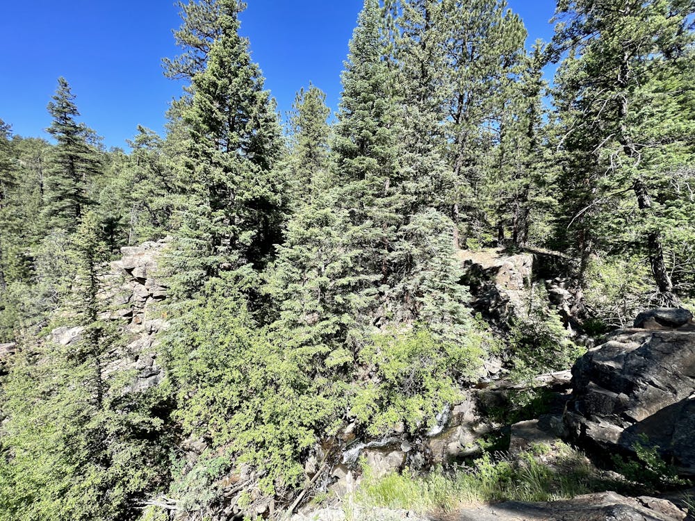
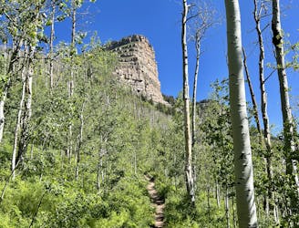
Miner's Trace is a fairly rocky trail with rock gardens, ledges, and small slabs. A few sections of the trail are a bit exposed, too, providing views and a delightful airy feeling. Along Miner's Trace, you'll also pass a few scenic waterfalls and cascades. Be sure to pause and savor the natural beauty. And at the bottom, you'll pass some old mine sites from whence this trail receives its name—complete with an informational sign.
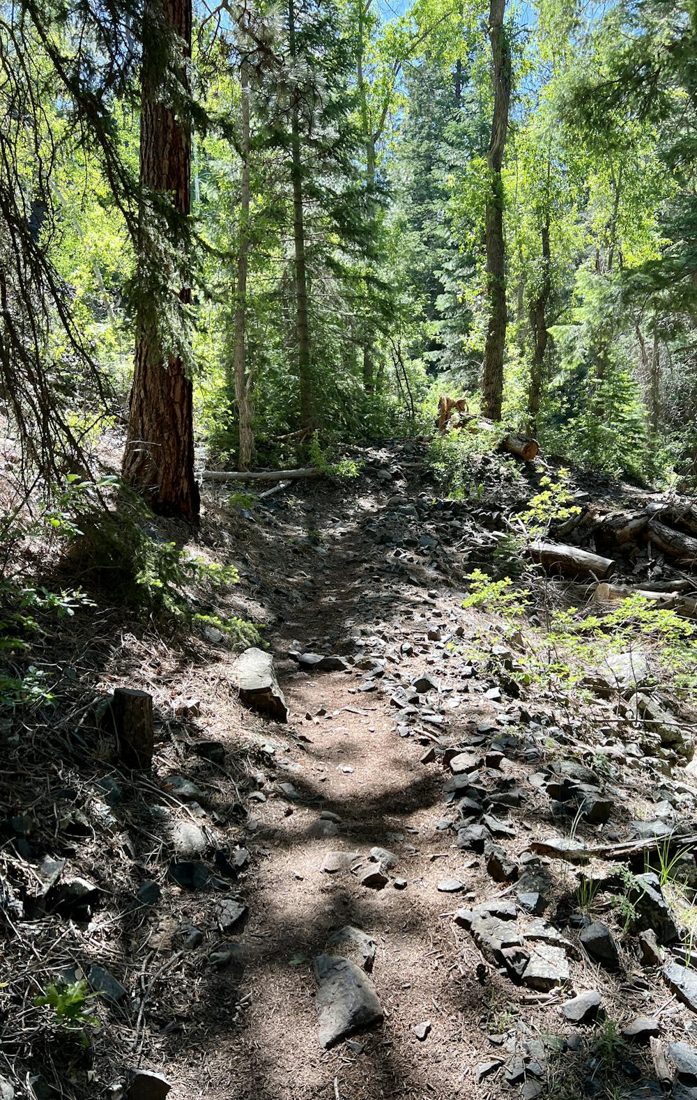
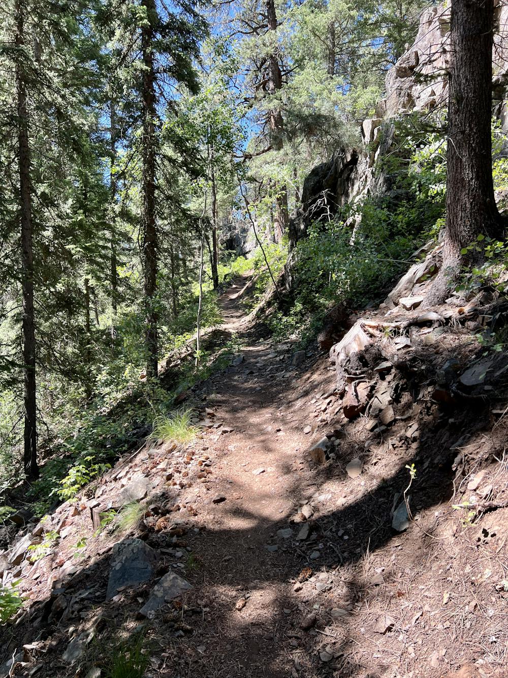
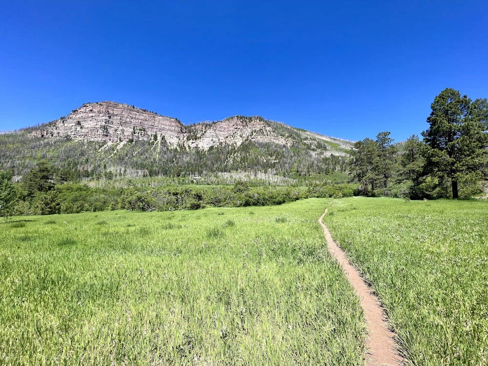
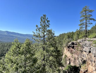
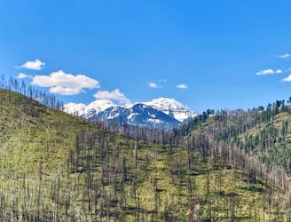
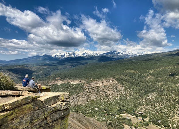
Carrying on around the loop, the trail turns to mostly-smooth singletrack punctuated by the occasional rocky ledge. After suffering up a short but steep climb on Chris Park, you'll reach beautiful views on Hermosa View Loop and the Meadow Trail. The views of the Hermosa Cliffs towering above are truly spectacular.
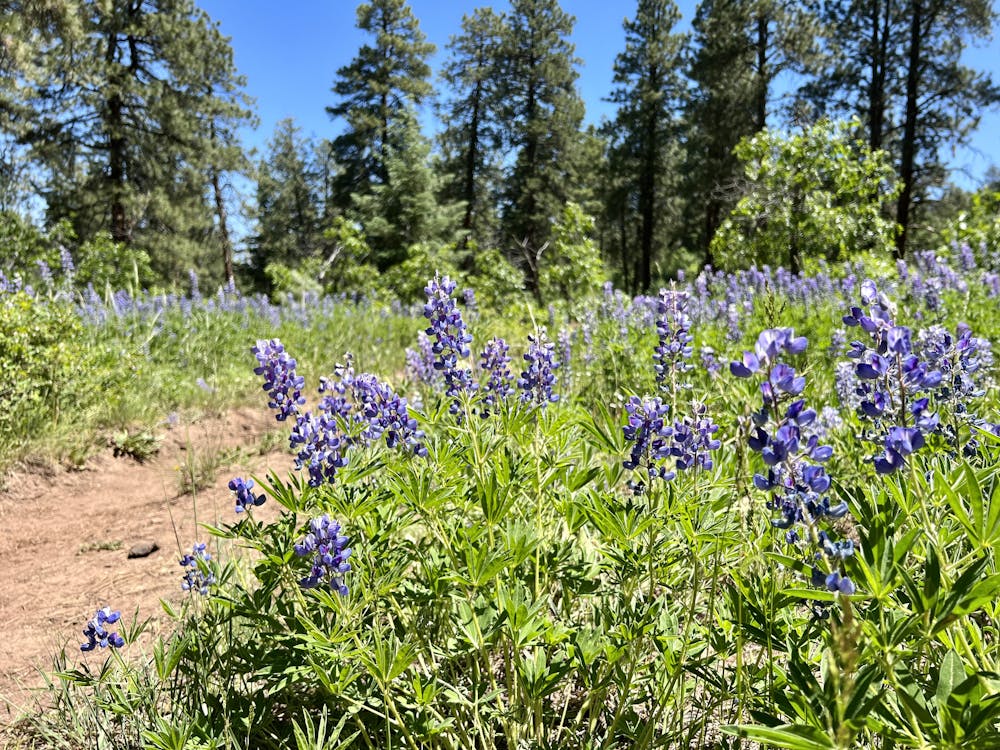
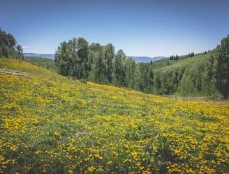
The Haviland View Trail also hides some short, punchy climbs and descents, but this section is also filled with gorgeous wildflowers to help you keep your mind off the suffering.
Difficult
Hiking trails where obstacles such as rocks or roots are prevalent. Some obstacles can require care to step over or around. At times, the trail can be worn and eroded. The grade of the trail is generally quite steep, and can often lead to strenuous hiking.

The path is on completely flat land and potential injury is limited to falling over.

Away from help but easily accessed.
A beautiful loop visiting the Miners Trace Waterfall.
Moderate Hiking
18 m away
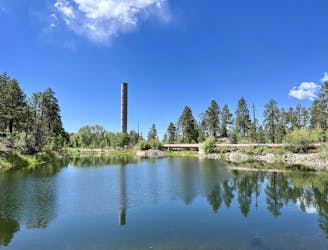
This mellow hike to Forebay Lake is a sleeper hit, located just outside of Durango.
Easy Hiking
36 m away
Connect a series of beautiful trails together at Haviland Lake for a fantastic four-mile loop.
Moderate Hiking
2.7 km away
A beautiful fall hike with stunning views from the top of the ridge.
Difficult Hiking
6.8 km away
An approachable hike leads to a stunning view point from the top of Castle Rock.
Difficult Hiking
9.8 km away
Traverse a stunning, isolated mountain valley.
Moderate Hiking
10 routes · Alpine Climbing · Hiking