125 m away
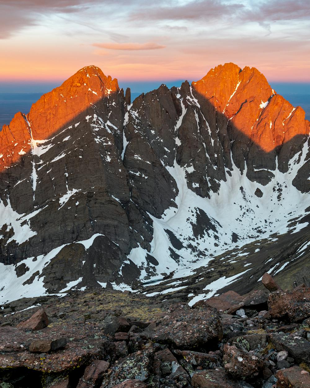
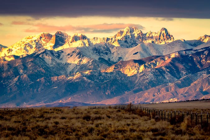
Humboldt Peak
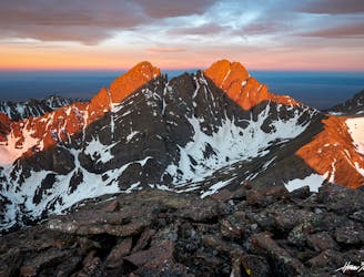
One of the least technical peaks in the Sangres.
Severe Hiking
- Distance
- 20 km
- Ascent
- 1.3 km
- Descent
- 1.3 km
Humboldt Peak via West Ridge - Summer Route
Hiking Difficult

This is a popular hiking route which is generally considered to be difficult. It's remote, it features low exposure and is typically done between July and November. From a low point of 3 km to the maximum altitude of 4.3 km, the route covers 7.8 km, 1264 vertical metres of ascent and 4 vertical metres of descent.
Humboldt Peak via West Ridge - Summer Route. Take the East Ridge in winter due to avalance prone slopes on the west ridge.
Difficult
Hiking trails where obstacles such as rocks or roots are prevalent. Some obstacles can require care to step over or around. At times, the trail can be worn and eroded. The grade of the trail is generally quite steep, and can often lead to strenuous hiking.

The path is on completely flat land and potential injury is limited to falling over.

Away from help but easily accessed.
125 m away
One of the least technical peaks in the Sangres.
Severe Hiking
6 km away
Two seldom-seen alpine lakes, high in the Sangre de Cristo Wilderness.
Difficult Hiking
6 km away
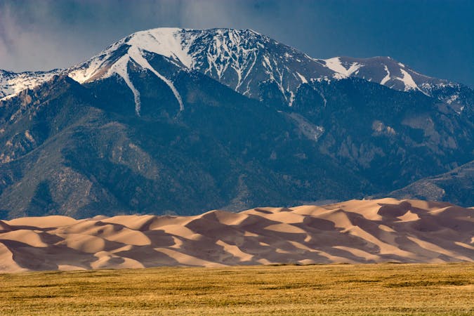
Alpine hike to a Sangre de Cristo 13er, within Great Sand Dunes National Park and Preserve.
Extreme Hiking
10 routes · Alpine Climbing · Hiking

46 routes · Alpine Climbing · Hiking
7 routes · Alpine Climbing · Hiking