2 m away
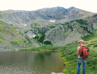
Sand Creek Lakes
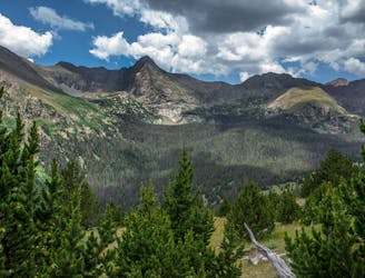
Two seldom-seen alpine lakes, high in the Sangre de Cristo Wilderness.
Difficult Hiking
- Distance
- 16 km
- Ascent
- 760 m
- Descent
- 760 m
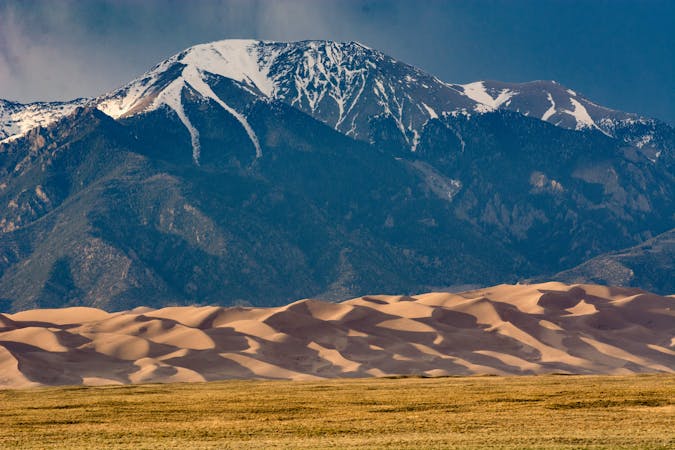
Alpine hike to a Sangre de Cristo 13er, within Great Sand Dunes National Park and Preserve.
Hiking Extreme

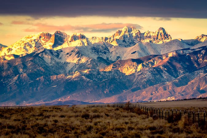
High in the Sangre de Cristos, the remote Sand Creek Valley is surrounded by several imposing peaks, all more than 13,000 feet in elevation. Of these, Marble Mountain (13,266 ft) has the most attainable summit. It’s essentially just a hike along the southeast ridge from Music Pass. Getting to the Music Pass Trailhead may require 4-wheel drive, but normal cars can reach the lower trailhead, 2.5 miles down the road. Once on the Music Pass Trail, you’ll hike steadily uphill through subalpine forest. There is a meadow at the pass, granting your first good views of the peaks.
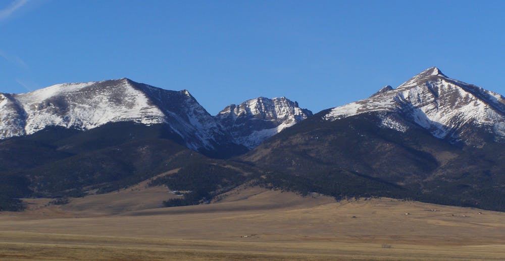
The rest of the way up Marble Mountain is off-trail hiking, but navigation is not difficult. You’ll simply walk up the rounded ridgeline. It transitions from open forest to alpine tundra, with amazing views to both sides of the range. You’ll cross a few false summits on the ridge, but the real top will be apparent when you reach it. It’s a broad and comfortable summit, with many good sitting rocks. If the weather holds, you’ll want to linger and examine every angle of the 360-degree view.
Most parties descend by the same route, which is what’s mapped here. A more adventurous alternative, however, is to continue over the summit to the col with Milwaukee Peak, then drop into the basin from there. You’ll eventually pick up the Music Pass Trail, near the spur that leads to Upper Sand Creek Lake. Simply follow this trail down the valley, then back up and over the pass.
Sources: https://www.nps.gov/thingstodo/hike-sand-creek-lakes.htm https://www.14ers.com/php14ers/tripreport.php?trip=10841
Extreme
Scrambling up mountains and along technical trails with moderate fall exposure. Handholds are necessary to navigate the trail in its entirety, although they are not necessary at all times. Some obstacles can be very large and difficult to navigate, and the grades can often be near-vertical. The challenge of the trail and the steepness of the grade results in very strenuous hiking. Hikes of this difficulty blur the lines between "hiking" and "climbing".

The trail contains some obstacles such as outcroppings and rock which could cause injury.

Little chance of being seen or helped in case of an accident.
2 m away
Two seldom-seen alpine lakes, high in the Sangre de Cristo Wilderness.
Difficult Hiking
6 km away
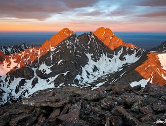
One of the least technical peaks in the Sangres.
Severe Hiking
7.4 km away
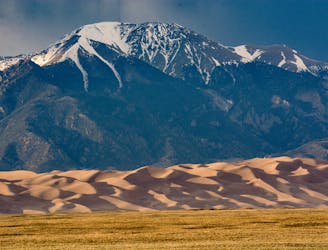
Alpine hike to a 13er summit, with an absolutely epic view over the Great Sand Dunes.
Extreme Hiking
9.2 km away
Hike from the Medano Pass 4WD road to a secluded lake in an alpine cirque.
Moderate Hiking
10 routes · Alpine Climbing · Hiking

46 routes · Alpine Climbing · Hiking
7 routes · Alpine Climbing · Hiking