2 m away
Marble Mountain from Music Pass
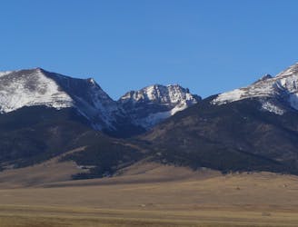
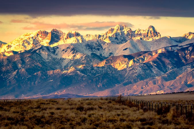
Alpine hike to a Sangre de Cristo 13er, within Great Sand Dunes National Park and Preserve.
Extreme Hiking
- Distance
- 12 km
- Ascent
- 968 m
- Descent
- 968 m
Two seldom-seen alpine lakes, high in the Sangre de Cristo Wilderness.
Hiking Difficult

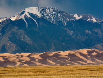
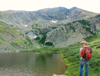
The Sand Creek Lakes sit high in the Sangre de Cristos, in alpine basins beneath 13,000-foot peaks. Though they’re within Great Sand Dunes National Park and Preserve, they feel a world away from the desert dunes, which lie in the valley thousands of feet below. To hike to these lakes, you won’t go through the main park entrance. Instead, you must drive up from the east side of the range on Music Pass Road, which requires 4WD near the top.
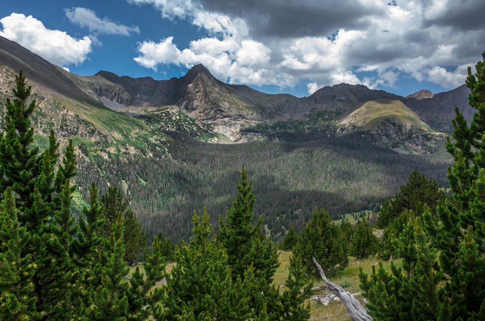
The Music Pass Trail begins from the end of this road, at a signed trailhead in San Isabel National Forest. From there, a rocky and dusty path goes upward through conifer forest. At the pass, meadows reveal views of the landscape. You’ll gaze off the other side of the pass, at two impressive peaks and a vertical ridge of rock between them. Beneath the cliffs you’ll see the cirque basins which hold the lakes.
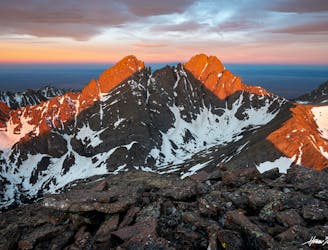
Continuing over the pass, the trail enters an idyllic valley of meadows, scattered trees, and abundant wildflowers. Eventually, the trail to Lower Sand Creek Lake branches off. This is the nearer of the two lakes. You may choose to visit it first or save it for the way back. The rest of the way to Upper Sand Creek Lake is steadily uphill through dense forest. This is a wilderness trail which is seldom maintained, so expect unbridged stream crossings, downed logs, and other obstacles. Few people venture all the way to the upper lake, so you may find it all to yourself. Enjoy the views of Music Mountain and Milwaukee Peak rising in snow-streaked granite above.
Both lakes have excellent backcountry camping, and no permits are needed. Just be sure to properly store food (black bears live in the area), and follow all principles of Leave No Trace.
Sources: https://www.nps.gov/thingstodo/hike-sand-creek-lakes.htm https://www.nps.gov/grsa/planyourvisit/hiking.htm
Difficult
Hiking trails where obstacles such as rocks or roots are prevalent. Some obstacles can require care to step over or around. At times, the trail can be worn and eroded. The grade of the trail is generally quite steep, and can often lead to strenuous hiking.

The trail contains some obstacles such as outcroppings and rock which could cause injury.

Little chance of being seen or helped in case of an accident.
2 m away
Alpine hike to a Sangre de Cristo 13er, within Great Sand Dunes National Park and Preserve.
Extreme Hiking
6 km away
One of the least technical peaks in the Sangres.
Severe Hiking
7.4 km away
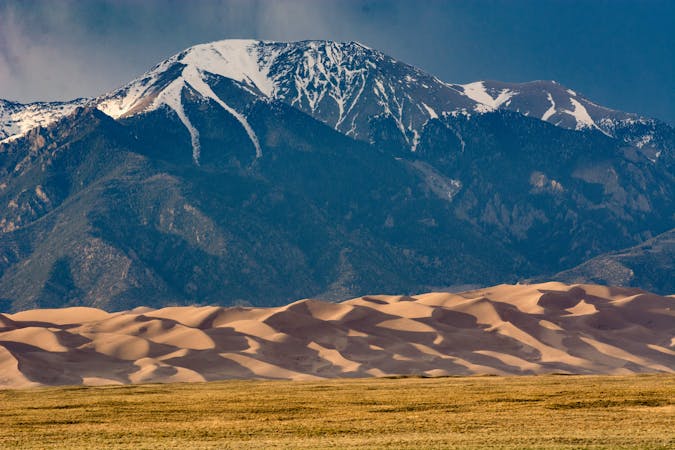
Alpine hike to a 13er summit, with an absolutely epic view over the Great Sand Dunes.
Extreme Hiking
9.2 km away
Hike from the Medano Pass 4WD road to a secluded lake in an alpine cirque.
Moderate Hiking
10 routes · Alpine Climbing · Hiking

46 routes · Alpine Climbing · Hiking
7 routes · Alpine Climbing · Hiking