7.2 km away
Green Mountain via Gregory Canyon
A loop to the top of Boulder's most iconic mountain.
Severe Hiking
- Distance
- 7.7 km
- Ascent
- 707 m
- Descent
- 707 m
A spectacular but technically easy trail hanging high above Boulder
Hiking Moderate

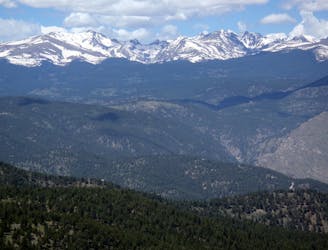
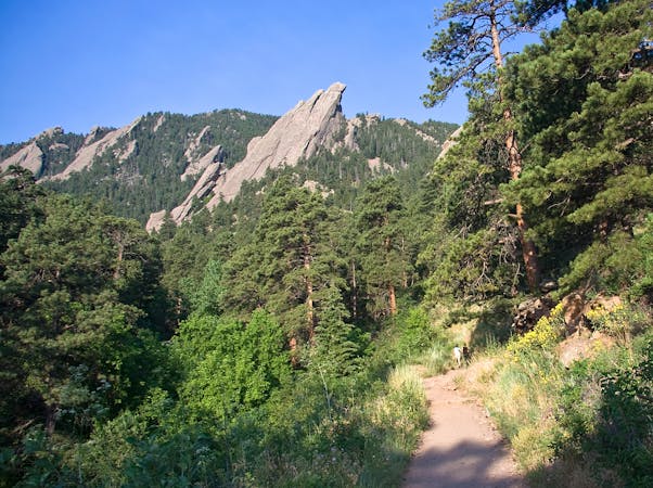
Starting either the South Mesa Trailhead or Chautauqua Trailhead (it can be done in either direction, or as a return trip), the Mesa Trail winds its way through open meadows and stands of ponderosa pine, offering exceptional views of the towering rock formations that define the area. As you hike along the trail, you'll be treated to sweeping vistas of the Rocky Mountains, and have the chance to see some of the local fauna, including deer, birds of prey and - if you're lucky/unlucky - a black bear.
We've drawn the trail as a one way route from south to north, but you can either do it as a return trip or detour along the way - exploring side trails that lead to points of interest such as the Royal Arch, Green Mountain, and Shadow Canyon.
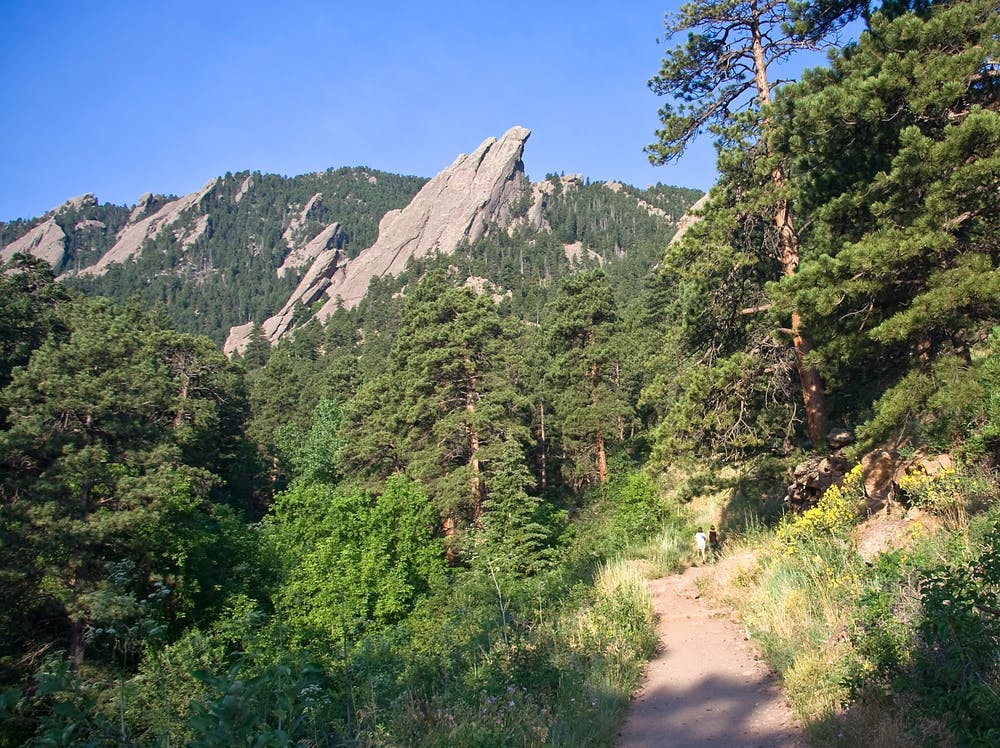
As you hike, take time to appreciate the unique geology and ecosystems of the Flatirons, which are renowned for their dramatic rock formations and diverse plant life.
Moderate
Hiking along trails with some uneven terrain and small hills. Small rocks and roots may be present.

The trail contains some obstacles such as outcroppings and rock which could cause injury.

Little chance of being seen or helped in case of an accident.
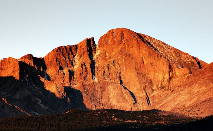
7.2 km away
A loop to the top of Boulder's most iconic mountain.
Severe Hiking
9.6 km away
A quintessential Boulder hiking route.
Severe Hiking
7 routes · Hiking
6 routes · Alpine Climbing · Hiking
7 routes · Hiking