1.2 km away
Mount Evans - West Ridge
Take the trail instead of the road up one of Colorado's most accessible 14ers.
Severe Hiking
- Distance
- 8.6 km
- Ascent
- 613 m
- Descent
- 613 m
Test your legs and lungs above 14,000 feet on this short hike to one of Colorado's highest summits.
Hiking Moderate

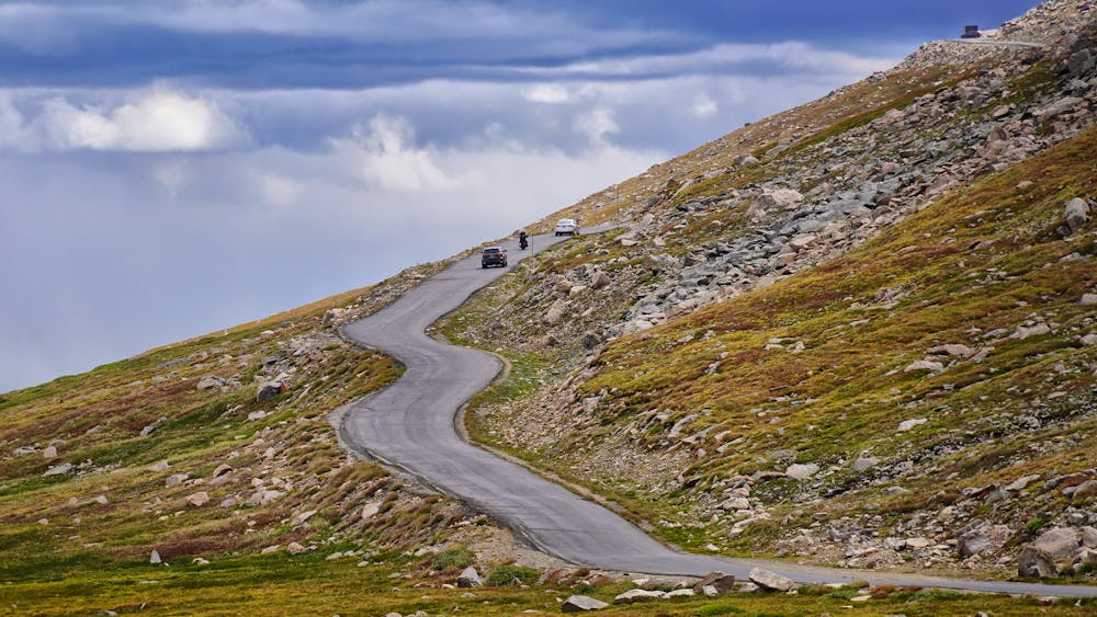
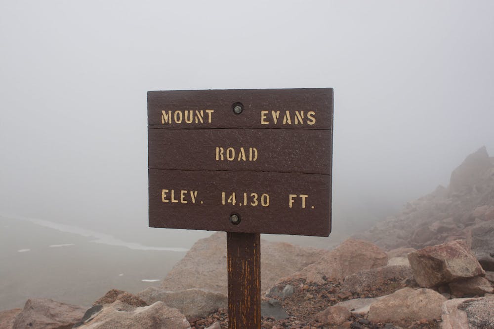
The 14ers of Colorado are the mountains with summits exceeding 14,000 feet. Most of them are rugged, remote, and require advanced hiking to reach the top. Mount Evans, however, does not. A paved road nearly reaches the summit, and it’s an easy drive from Denver. This makes Mount Evans one of the best ways to experience thin air above 14,000 feet. You can drive your own car to the summit parking area, where the view is fantastic, but reaching the mountain’s actual apex requires a little more work.
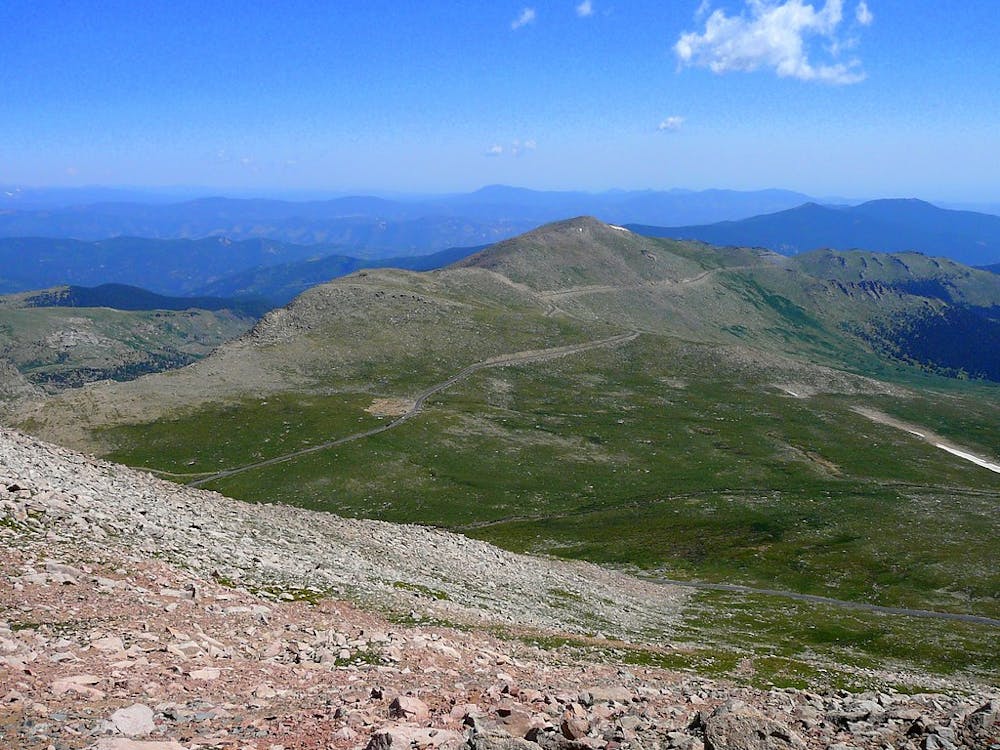
The trail is obvious and easy to follow, but it’s rugged and requires some legwork to get up. High steps and switchbacks lead to the top in about a quarter-mile. If you’re not used to elevation, however, your lungs and muscles will swear it’s farther. There’s much less oxygen in the air here than at sea level, and your body will notice. Take it slow and drink lots of water. If you feel nauseous or get a headache, stop and take a long rest.
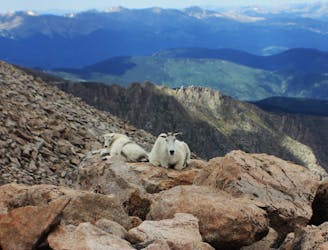
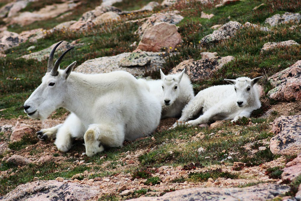
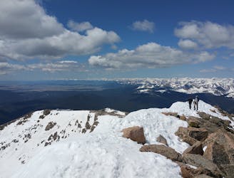
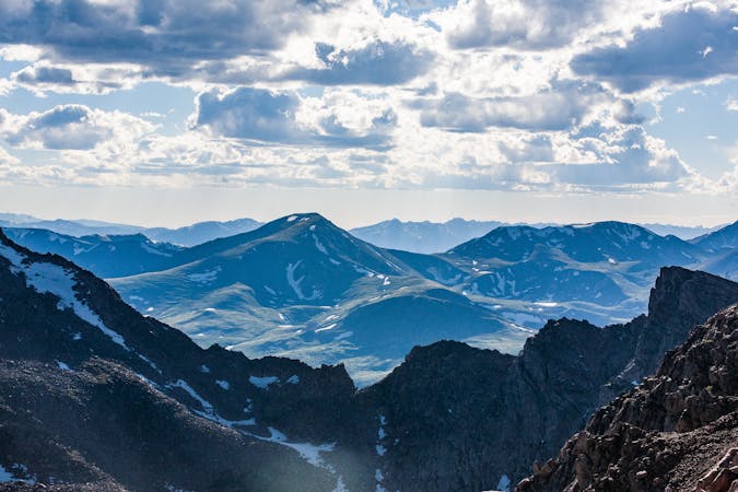
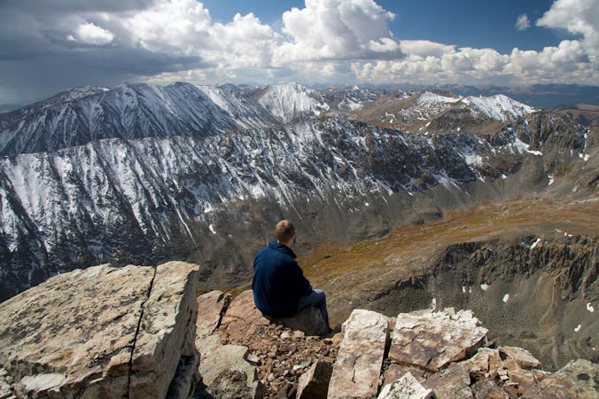
On top of the mountain, you'll enjoy an astounding 360-degree view of the Rocky Mountains, with tall peaks and snowfields all around. Gaze along a toothy ridgeline to a neighboring summit, Mount Bierstadt, which is also a 14er. Look over the shimmering waters of Summit Lake far below, and peer down the frighteningly steep chutes on Evans’ north face. If you want, you can follow another trail along the west ridge, which grants views off another steep face of the mountain and down to Abyss Lake. Take time to take it all in, then simply retrace your steps to the car. Keep an eye out for local residents like mountain goats and marmots, but give them their space.
The parking area, overlooks, and trail are often extremely crowded. Be patient and courteous to other visitors. Also, remember that weather at the top of the mountain is usually much colder and windier than at lower elevations, so come prepared with layers of clothing. Storms can also begin suddenly and violently. Do not hike the trail if storm clouds are building overhead.
Sources: https://www.fs.usda.gov/detail/arp/specialplaces/?cid=fsm91058388
Moderate
Hiking along trails with some uneven terrain and small hills. Small rocks and roots may be present.

The trail contains some obstacles such as outcroppings and rock which could cause injury.

Close to help in case of emergency.
1.2 km away
Take the trail instead of the road up one of Colorado's most accessible 14ers.
Severe Hiking
5.9 km away
Despite being known as one of Colorado's easier 14ers, the climb up Bierstadt is still varied and rewarding.
Extreme Hiking
7 routes · Hiking
5 routes · Alpine Climbing · Hiking
8 routes · Mountain Biking · Hiking
5 routes · Alpine Climbing · Hiking

46 routes · Alpine Climbing · Hiking