1.2 km away
Mount Evans Summit Trail

Test your legs and lungs above 14,000 feet on this short hike to one of Colorado's highest summits.
Moderate Hiking
- Distance
- 918 m
- Ascent
- 36 m
- Descent
- 36 m
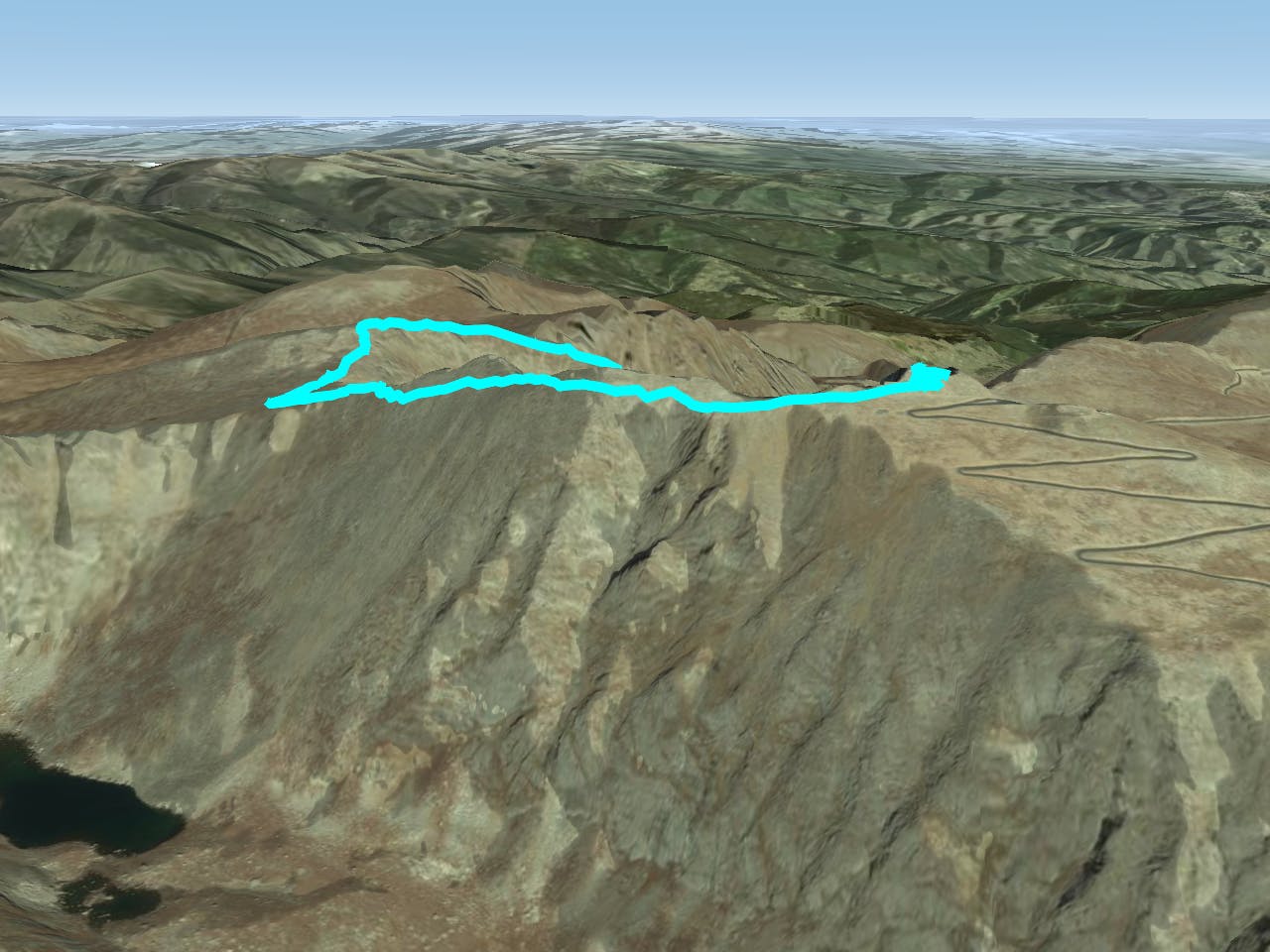
Take the trail instead of the road up one of Colorado's most accessible 14ers.
Hiking Severe

Mount Evans (14,265 feet) has a paved road to the top, but there is also a trail that takes a different route to the summit. If you want to really earn the lofty view from this 14er, take the hike instead of the drive. You should be prepared to share the summit with lots of motor tourists, however, if hiking in summer. The road is generally open from late May to mid-October, but outside of that season, you’re likely to have only a few other hikers for company. Parts of the trail may remain snowy well into June or July, so come prepared for all conditions.
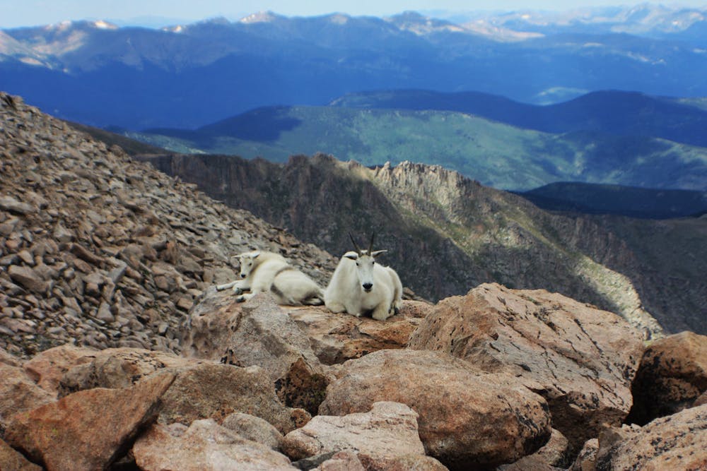
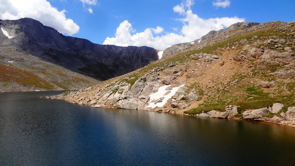
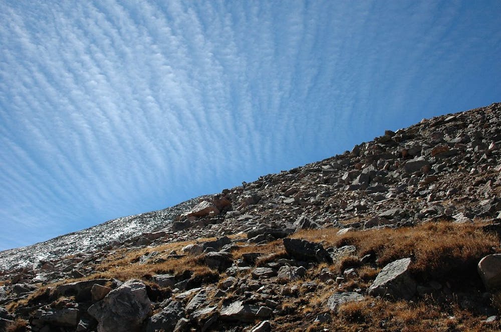
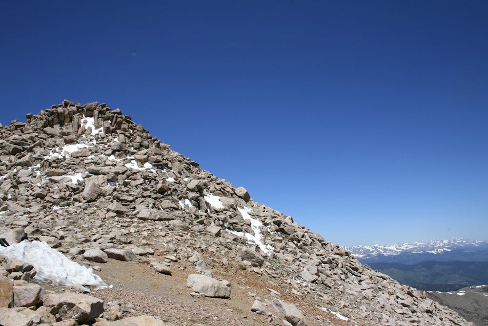
The hike begins from the Summit Lake trailhead, located along the Mount Evans Road. The route is straightforward, following a trail around the lake and up a ridge. In some places, the path threads through boulders and ledges where simple scrambling may be required. Higher on the ridge, the trail fades into jumbled talus, but cairns mark the way.
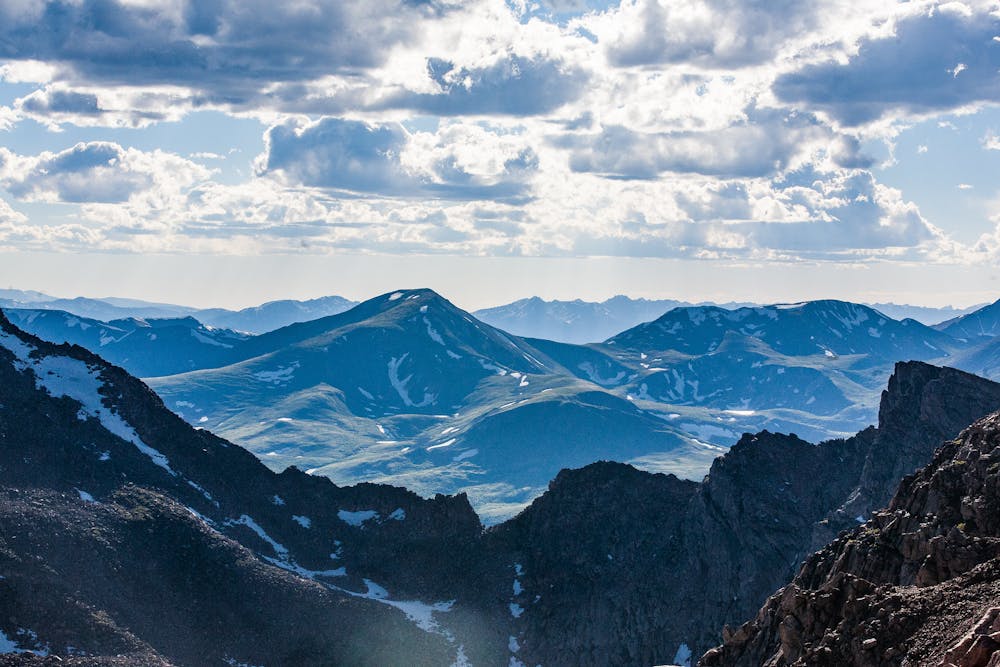
This is a ridge of Mount Spaulding, and you’ll cross over its summit at 13,800 feet. From there you can clearly see along Evans’ West Ridge to the summit that lies ahead. Continue rock-hopping across the talus toward this objective. The easiest route stays below the ridge crest for most of the way, so the view is limited to the south side, but it does not disappoint. Below is a steep-sided basin with Abyss Lake in the bottom and Mount Bierstadt, another 14er, on the other side.
Eventually, you’ll near the parking lot and join the highly traveled summit trail. Switchbacks and stairs climb the steep final feet. Though the summit is often crowded, there’s room to spread out along the ridge and among numerous boulders. Enjoy views off the precipitous north face, down at Summit Lake where the hike began. Return the way you came, or try your luck at hitchhiking down the road.
Sources: https://www.14ers.com/route.php?route=evan2&peak=Evans+and+Bierstadt
Severe
Hiking challenging trails where simple scrambling, with the occasional use of the hands, is a distinct possibility. The trails are often filled with all manner of obstacles both small and large, and the hills are very steep. Obstacles and challenges are often unexpected and can be unpredictable.
1.2 km away

Test your legs and lungs above 14,000 feet on this short hike to one of Colorado's highest summits.
Moderate Hiking
6 km away
Despite being known as one of Colorado's easier 14ers, the climb up Bierstadt is still varied and rewarding.
Extreme Hiking
7 routes · Hiking
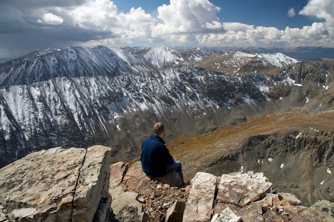
5 routes · Alpine Climbing · Hiking
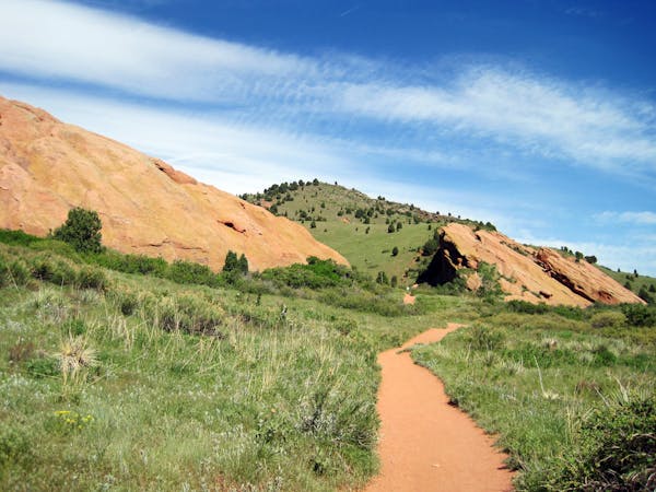
8 routes · Mountain Biking · Hiking
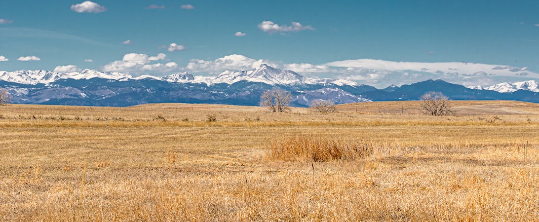
5 routes · Alpine Climbing · Hiking
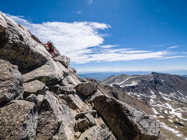
46 routes · Alpine Climbing · Hiking