530 m away
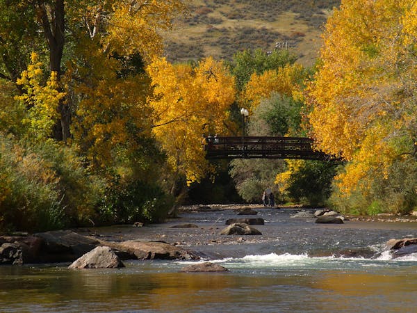
Bear Creek Trail
A beautiful greenway path beginning near Morrison and running through Lakewood.
Easy Hiking
- Distance
- 23 km
- Ascent
- 113 m
- Descent
- 277 m

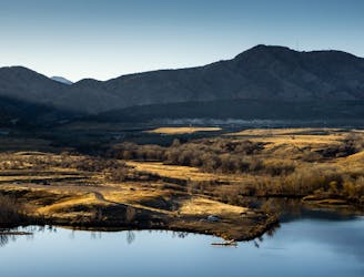
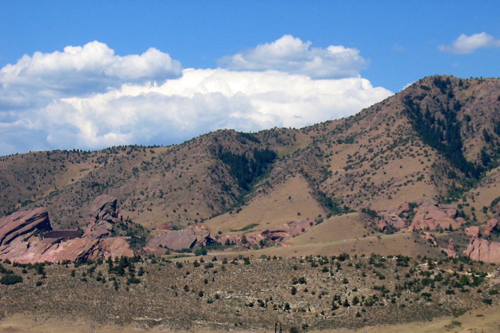
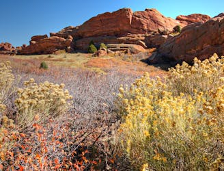
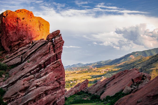
This trail punches more or less straight up a ridgeline to the summit of Mount Morrison, the high point over the town of Morrison and Red Rocks. It’s a challenge, but well worth it for the workout and the views on top. The trailhead is in Red Rocks Park, near the world-famous amphitheater where concerts are held almost every evening in the summer. You may hear the bands start to play down below if you hike in the cool of the evening.

Unlike most trails in the area, this one is closed to mountain bikes. Right away, you’ll encounter the steep grades that are suitable for hikers only. The beginning is strenuous, but it gives way to easier terrain in the middle section.
You must go up and over some tantalizing false summits before the real objective becomes apparent. You’ll know you’re on the final push when the trail becomes especially rocky and steep. You may even have to use your hands for support in a place or two, but the fall risk is minimal.
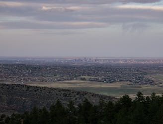
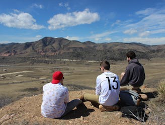
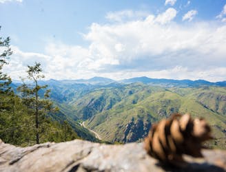
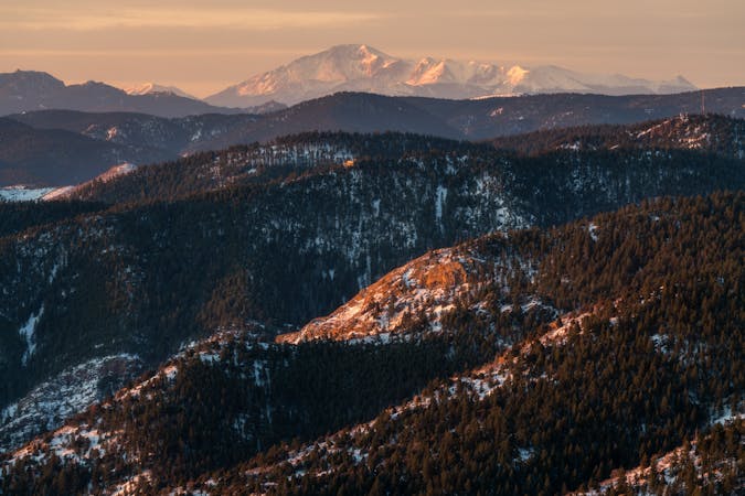
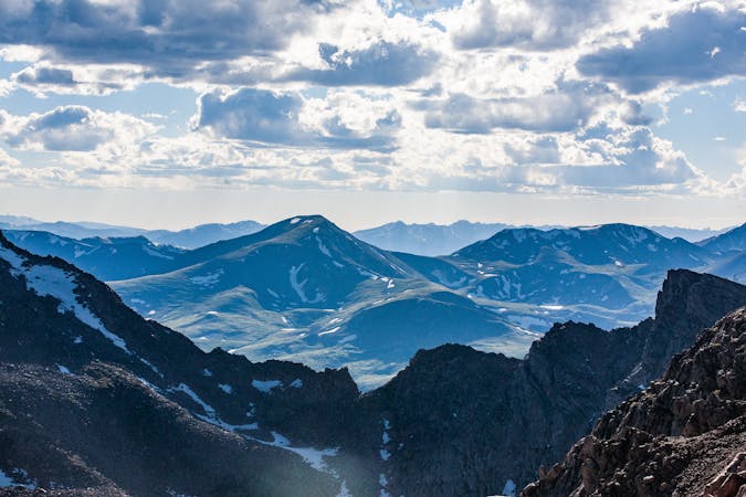
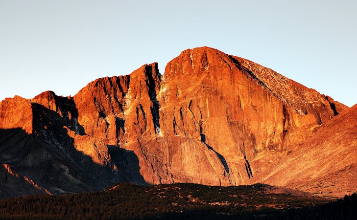
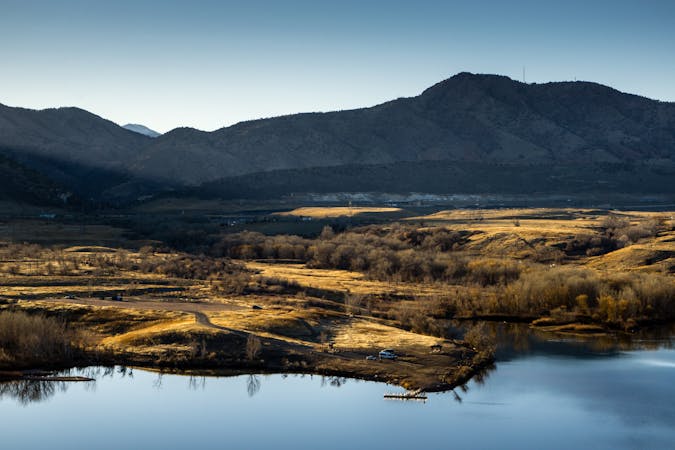
Finally, the trail leaves the rocks and returns to a dirt path at the top of the mountain. Relax and enjoy this beautiful, often windy, and rarely crowded summit. On a clear day, you can see a lot of prominent Rocky Mountain peaks, including 14ers like Evans and Longs.
Return the way you came, using special caution on the steep sections. The views are arguably even better on the way down, because the expansive view is before you the whole time, instead of over your shoulder like on the way up.
Sources: https://www.summitpost.org/mount-morrison/790630 http://www.gohikecolorado.com/mt-morrison.html
Severe
Hiking challenging trails where simple scrambling, with the occasional use of the hands, is a distinct possibility. The trails are often filled with all manner of obstacles both small and large, and the hills are very steep. Obstacles and challenges are often unexpected and can be unpredictable.

The trail contains some obstacles such as outcroppings and rock which could cause injury.
Away from help but easily accessed.
530 m away
A beautiful greenway path beginning near Morrison and running through Lakewood.
Easy Hiking
981 m away
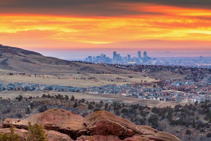
Mountainside hike next to Red Rocks Park with wide-open views over the Amphitheater and downtown Denver.
Moderate Hiking
1.1 km away
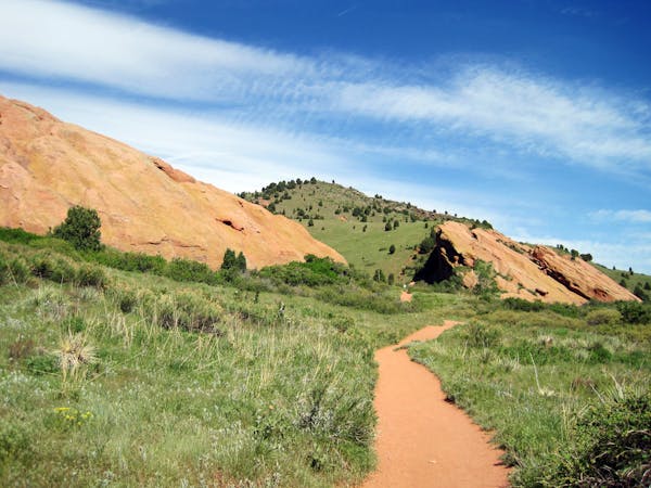
Explore more of the nature and geology that surrounds Red Rocks Amphitheater.
Easy Hiking
3.7 km away
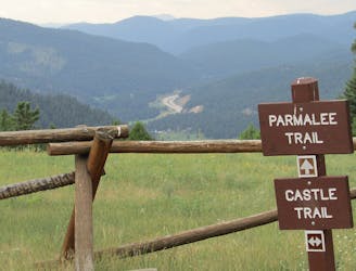
Find the views atop Mount Falcon and a historic "Castle" in the hills above Denver.
Moderate Hiking
5 km away
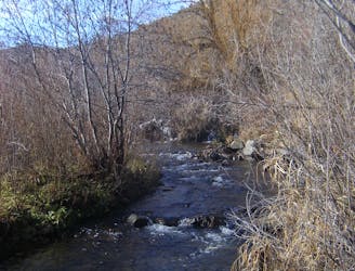
Enjoy mountain views, creekside shade, and peaceful picnic spots on this family-friendly stroll.
Moderate Hiking
5.9 km away
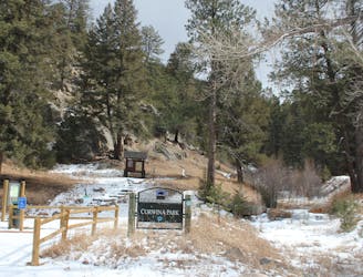
Scenic open space near the city—perfect for before or after work outings.
Moderate Hiking
7.1 km away
Hiker-only trail to an overlook of the Rocky Mountains at a bouldery outcrop.
Moderate Hiking
9.4 km away
Pleasant nature loop with interpretive signs.
Easy Hiking
6 routes · Hiking
7 routes · Hiking
7 routes · Hiking
8 routes · Mountain Biking · Hiking
6 routes · Alpine Climbing · Hiking
5 routes · Hiking · Road Biking
25 routes · Hiking
5 routes · Hiking
13 routes · Hiking