2.4 km away
Bruin Bluff Loop
Enjoy mountain views, creekside shade, and peaceful picnic spots on this family-friendly stroll.
Moderate Hiking
- Distance
- 2.7 km
- Ascent
- 62 m
- Descent
- 62 m
Hiker-only trail to an overlook of the Rocky Mountains at a bouldery outcrop.
Hiking Moderate

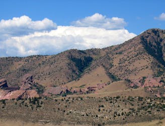
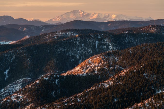
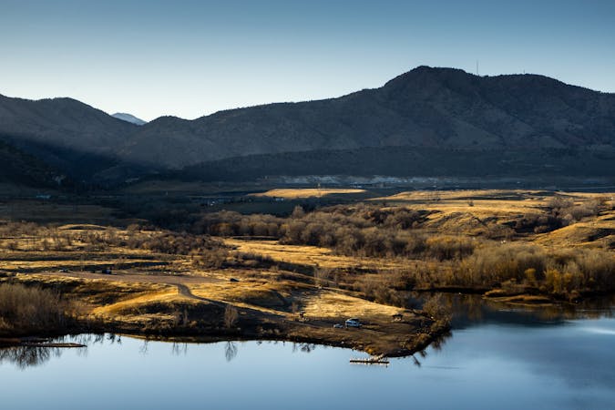
Bear Creek Canyon, west of Morrison, has a number of mountain parks with trails along the creek and surrounding slopes. Corwina Park is one of them, and it’s home to the Panorama Point Trail. The point is a rocky outcrop in a wide part of the gorge, where you can see clear across to Mount Evans and other peaks of the Rockies.
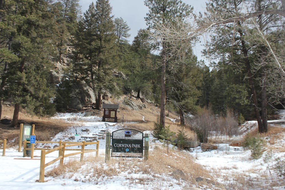
Many trails intertwine between the different parks in this canyon, and you can reach Panorama Point from multiple trailheads. The one called Panorama Point Trailhead is the best for hikers. Unlike most trails in the area, mountain bikes are not allowed on this one, which makes it generally less crowded. It is a wide path, easy to follow and well-signed, but not super easy to hike because it’s all uphill. The trail is just the right steepness for a good workout without being too exhausting. It's open all year but is usually snowy from December through March.
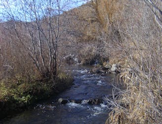
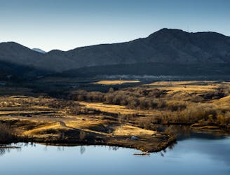
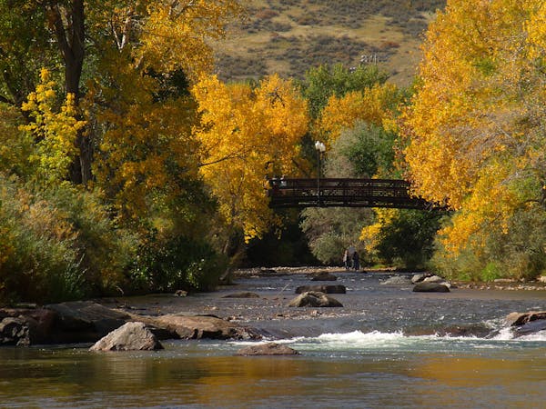
The hike begins in a forested valley beside a trickling stream, heading gradually upwards. Near the head of this valley, the forest opens into green meadows and groves of aspen, and the terrain levels out somewhat. Wildflowers are spectacular here in early summer, and the leaves brilliant in the fall.
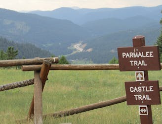
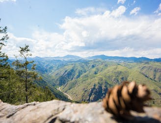
The route joins Bear Creek Trail briefly, where you may encounter a mountain biker or two. Signs lead to the next section of Panorama Point Trail, which is hiker-only once again. This is the final and toughest section, where the trail becomes rockier as it climbs to the viewpoint through ponderosa pine forest.
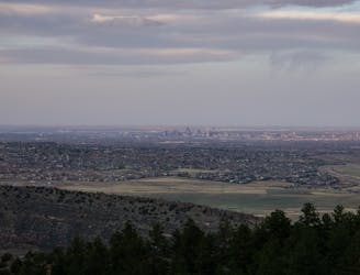
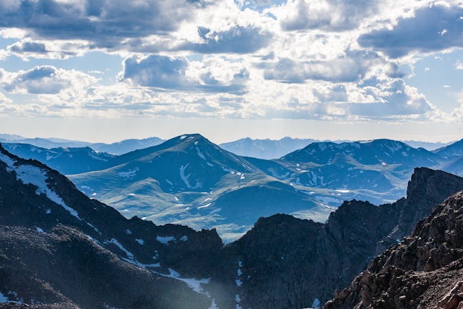
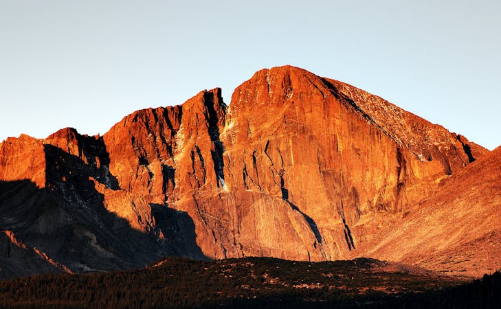
Finally, you’ll reach Panorama Point, where a bouldery ledge and a gap in the trees grants the expansive view. The mountains on the horizon are on the Continental Divide, about 20 miles away. They are more than 13,000 feet tall, and the tallest, Mount Evans, is more than 14,000 feet.
Sources: https://www.denvergov.org/content/dam/denvergov/Portals/747/documents/ParkArt/corwinaofallonpence.pdf http://trailparkreviews.blogspot.com/2012/06/corwina-park-and-panorama-point-trail.html
Moderate
Hiking along trails with some uneven terrain and small hills. Small rocks and roots may be present.

The trail contains some obstacles such as outcroppings and rock which could cause injury.
Away from help but easily accessed.
2.4 km away
Enjoy mountain views, creekside shade, and peaceful picnic spots on this family-friendly stroll.
Moderate Hiking
4.8 km away
Find the views atop Mount Falcon and a historic "Castle" in the hills above Denver.
Moderate Hiking
7.1 km away
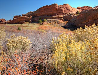
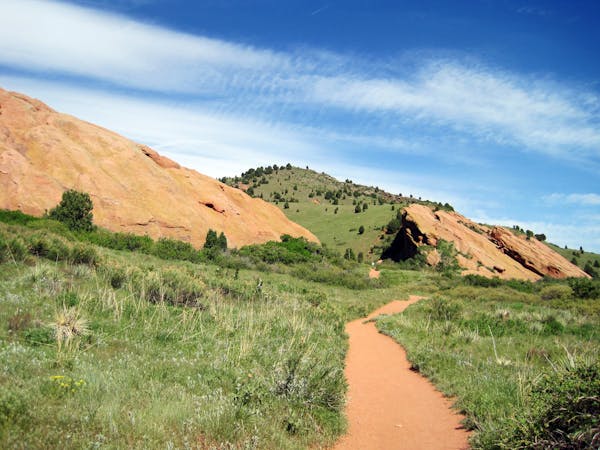
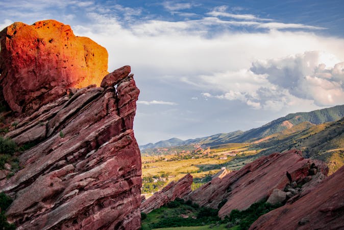
Explore more of the nature and geology that surrounds Red Rocks Amphitheater.
Easy Hiking
7.1 km away
A tough ascent to the highpoint over Red Rocks Amphitheater.
Severe Hiking
7.6 km away
A beautiful greenway path beginning near Morrison and running through Lakewood.
Easy Hiking
7.7 km away
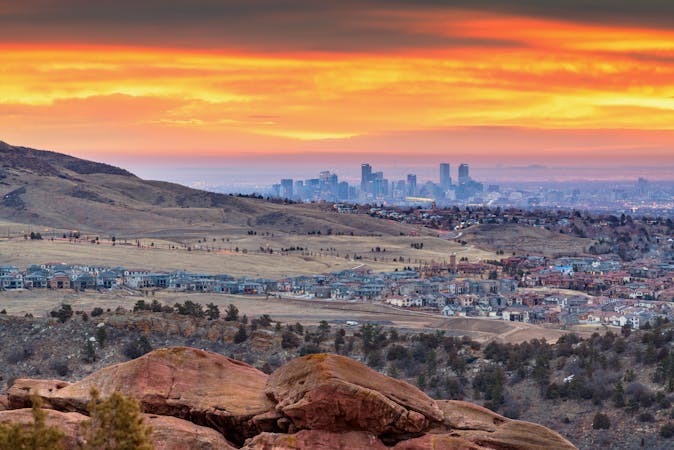
Mountainside hike next to Red Rocks Park with wide-open views over the Amphitheater and downtown Denver.
Moderate Hiking
8.3 km away
Pleasant nature loop with interpretive signs.
Easy Hiking
6 routes · Hiking
7 routes · Hiking
7 routes · Hiking
8 routes · Mountain Biking · Hiking
6 routes · Alpine Climbing · Hiking
5 routes · Hiking · Road Biking
25 routes · Hiking
5 routes · Hiking
13 routes · Hiking