7.5 km away
Peaks Trail
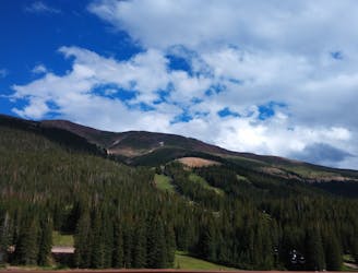
Journey through a forested valley from Frisco to Breckenridge.
Moderate Hiking
- Distance
- 13 km
- Ascent
- 434 m
- Descent
- 166 m
One of the easiest hikes in Summit County.
Hiking Moderate

Colorado is renowned for ultra-steep, ultra-difficult hikes. But what if you want to simple meander through the meadows and forests of Summit County without absolutely destroying yourself?
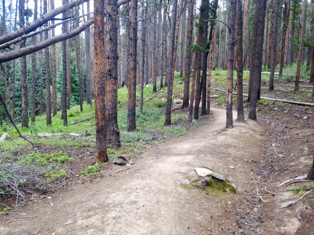
Soda Creek is the answer.
This beautiful trail undulates through dense pine forest before breaking out into beautiful wide-open meadows filled with wildflowers and views of the surrounding mountains. The trail is never steep or technical, making it the perfect family-friendly outing in the mountains.
Of course, like any good Colorado trail, you can make the route much, much longer and much more difficult if you so desire. Just keep heading south toward the Colorado Trail if you want to add on tons more mileage.
But for those who want to keep it simple and make sure that everyone in the family has a good time, this short lariat hike can’t be beat!
Moderate
Hiking along trails with some uneven terrain and small hills. Small rocks and roots may be present.

The path is on completely flat land and potential injury is limited to falling over.
Close to help in case of emergency.
7.5 km away
Journey through a forested valley from Frisco to Breckenridge.
Moderate Hiking
8 routes · Hiking