7.5 km away
Soda Creek
One of the easiest hikes in Summit County.
Moderate Hiking
- Distance
- 5.5 km
- Ascent
- 144 m
- Descent
- 144 m
Journey through a forested valley from Frisco to Breckenridge.
Hiking Moderate

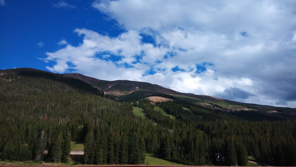
Peaks Trail travels 8 miles in between Breckenridge and Frisco, Colorado through the verdant valley on the east side of the Tenmile Range. The trailhead in Frisco is pretty much downtown, at the end of 2nd Avenue. The Breckenridge trailhead is at the base of the ski resort, where free shuttles can take you into town.
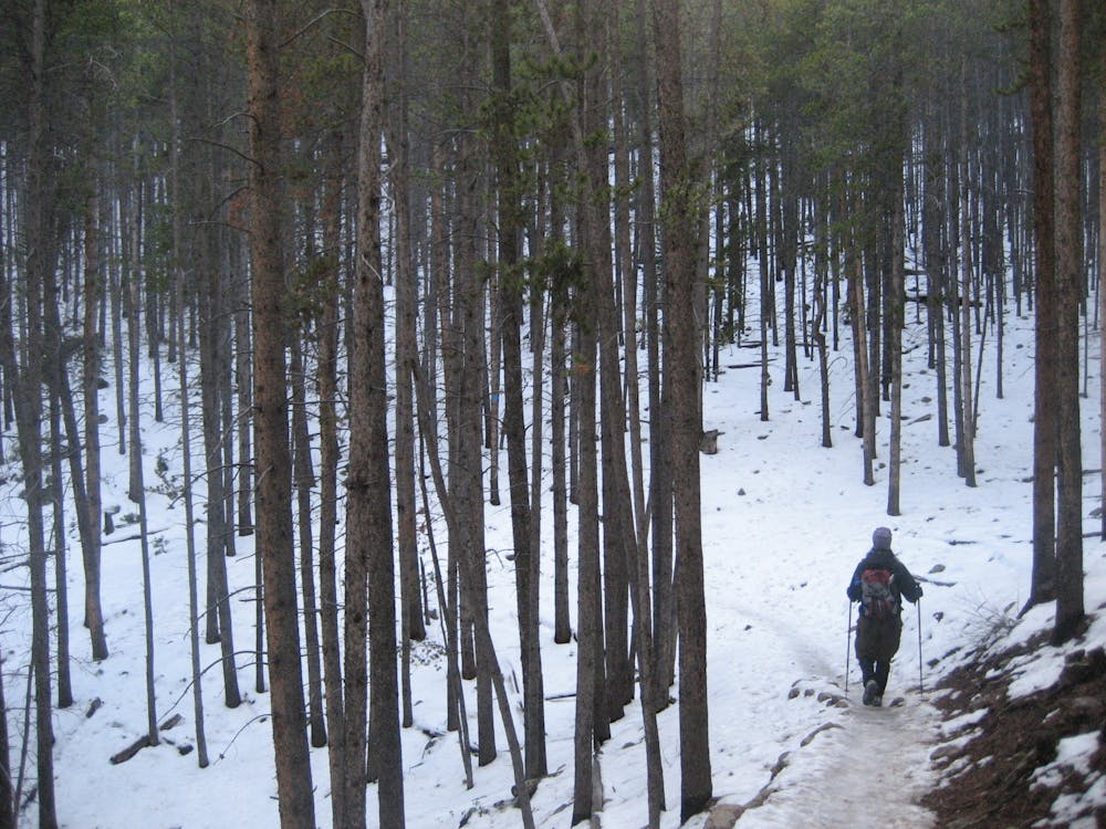
As either an out and back or a one way, it’s popular in the warm months for hiking and mountain biking and during the winter for snowshoeing and cross-country skiing. The gradient is slight but fairly constant, traveling steadily uphill from Frisco toward Breckenridge.
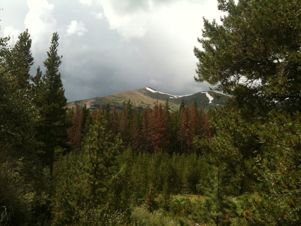
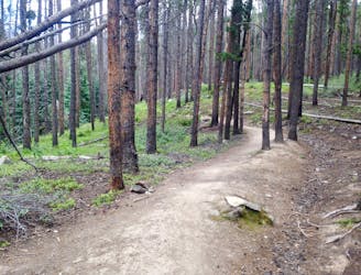
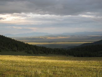
Most of the journey is through forest of spruce, fir, and aspen. A creek runs alongside the trail for most of its length. Expect variable terrain from packed dirt to rocks and mud, on trail that is mostly singletrack. Occasional gaps reveal views of peaks above, but for the most part views are limited to the forest.
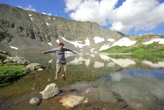
Beginning from Frisco, the first highlight is Rainbow Lake which comes in just under a mile. Enjoy views of surrounding hills and mountains reflected in its clear water. A somewhat convoluted network of trails surround the lake, but Peaks Trail is the most well-traveled path. It wraps around the west side of the lake and continues into the narrowing valley above, following the stream. It crosses a few other trails en route to Breckenridge that give options for side hikes and alternative routes.
At just over 3 miles the trail climbs out of the valley with the stream and begins to cross the slopes of the range, rolling gentle ups and downs in and out of smaller drainages. The trail remains mostly in the forest, but a large clear cut area at about mile 4 grants wide vantage over northern Breckenridge in the valley below.
The trail returns the cover of trees for the remaining 4 miles to Breckenridge. It continues to dip in and out of muddy creeks on wooden footbridges, but in general the trail is less steep here than in the lower half near Frisco. This is also the more crowded end of the trail, as out and backs from the ski resort are popular at all times of year. Finish at the road right in front of the Grand Lodge, and return the way you came or catch a shuttle into town.
Sources: https://www.hikingproject.com/trail/7002524/peaks-trail https://www.alltrails.com/trail/us/colorado/peaks-trail--2
Moderate
Hiking along trails with some uneven terrain and small hills. Small rocks and roots may be present.

The trail contains some obstacles such as outcroppings and rock which could cause injury.
Away from help but easily accessed.
7.5 km away
One of the easiest hikes in Summit County.
Moderate Hiking
9 km away
A 67-mile section of the CDT ideal as a section hike ending with one of Colorado's best 14ers - Grays Peak.
Severe Hiking
8 routes · Hiking

10 routes · Hiking

40 routes · Hiking