8.8 km away
Colorado Trail: Segment 27
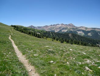
A sky-scraping stretch of trail, with incredible views from Indian Trail Ridge.
Difficult Mountain Biking
- Distance
- 33 km
- Ascent
- 1.3 km
- Descent
- 897 m
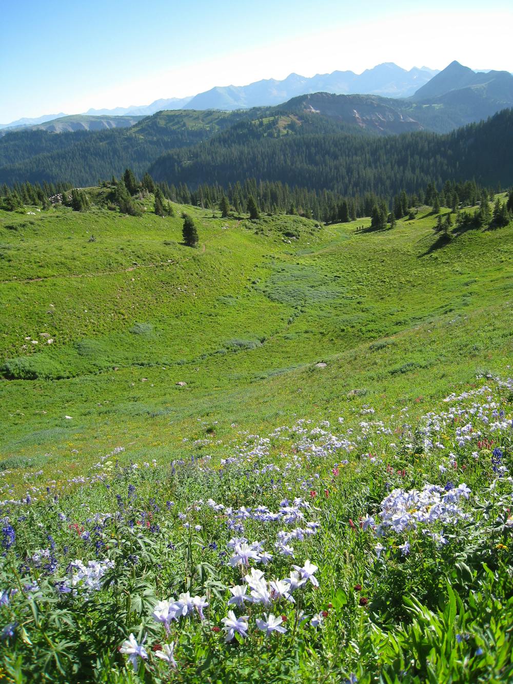
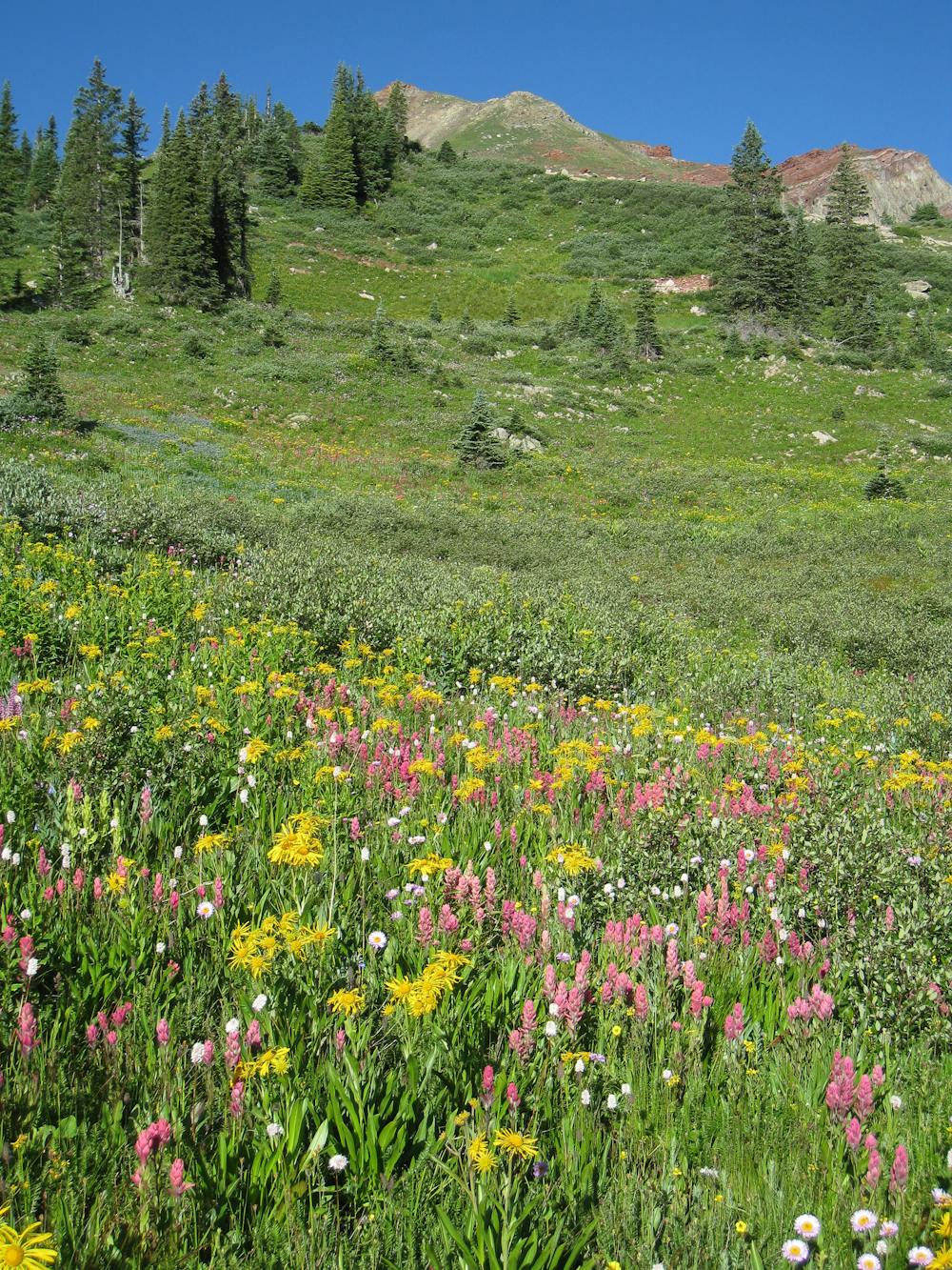
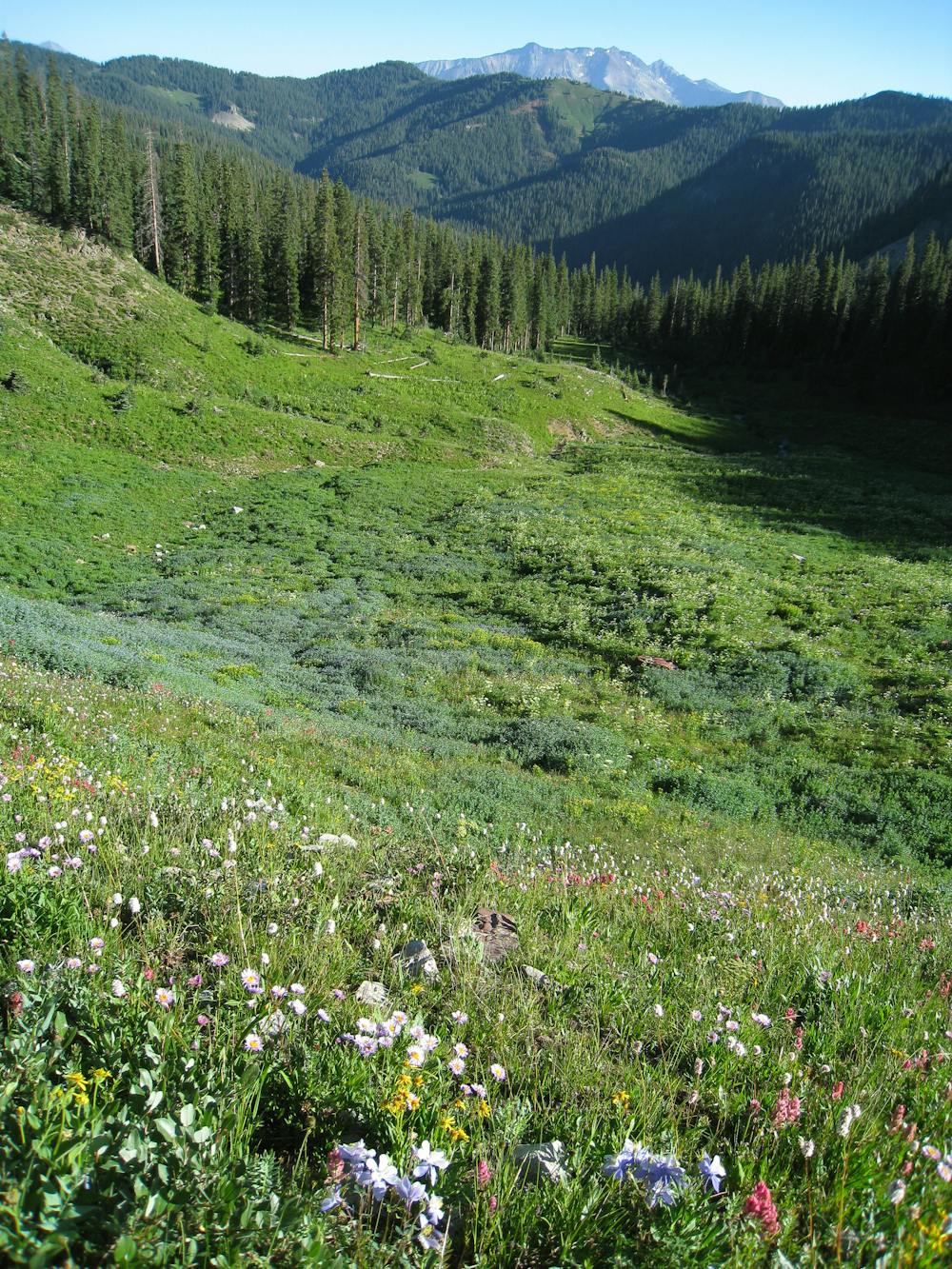
A stunningly beautiful section of the Colorado Trail running through the rugged San Juan Mountains.
Mountain Biking Severe

The Colorado Trail (COT) is widely regarded as one of the very best long-distance mountain bike trails in the world. Running for 535 miles between Denver and Durango, the trail crosses high alpine mountain passes and drops into beautiful valleys as it traverses the most beautiful portions of the state of Colorado. The COT forms one-third of the Triple Crown of Bikepacking, along with the Arizona Trail and the Great Divide Mountain Bike Route.
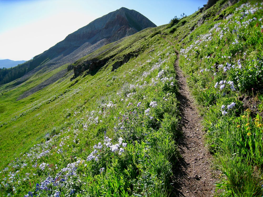
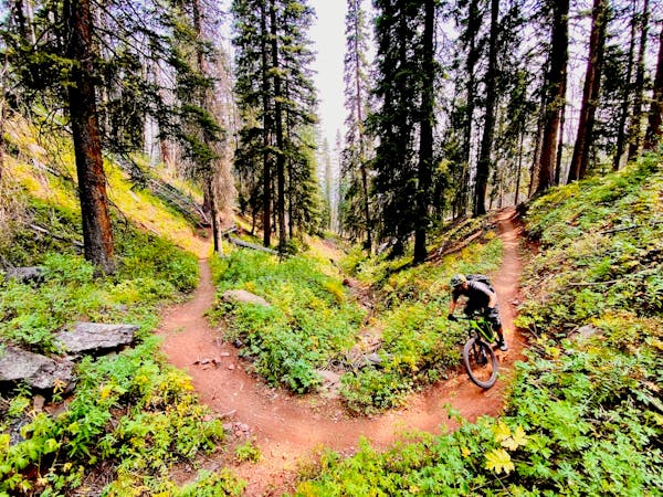
Out of the entire Colorado Trail, arguably the most highly-acclaimed portion is the long stretch running from the town of Silverton to the southern terminus of the trail in Durango. While not technically the highest-elevation portion of the trail, nevertheless this section stays very high in the San Juan Mountain Range.
All along this stretch, the views of the surrounding jagged mountains are incredible, the singletrack is narrow and sinuous, and there’s nary a sign of civilization. Indeed, between departing the town of Silverton and entering the town of Durango, the only sign of human life is the occasional dirt road crossing. Plan accordingly and pack all the gear you’ll need.
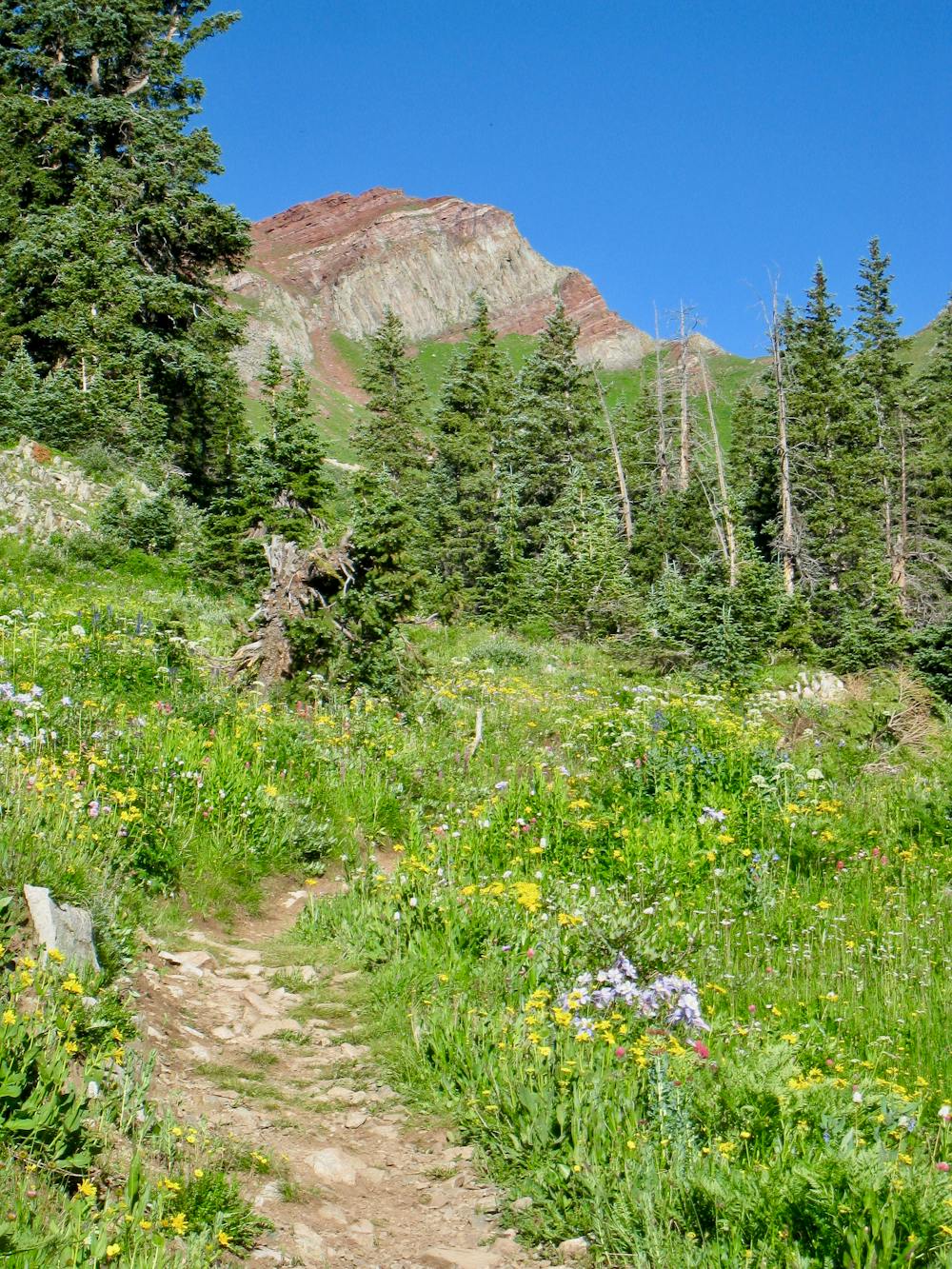
The Blackhawk Pass segment climbs steeply up to the top of the pass on narrow, mostly smooth singletrack with the characteristic jaw-dropping views. But once on top, it’s time to rip down! "The 10 miles of downhill from the top of Blackhawk Mountain is some of the best there is,” writes John Robinette on DurangoBikeTours.com. "It is EPIC!”
Sources: http://www.durangobiketours.com/2015/09/08/blackhawk-pass/
Severe
Widely variable, narrow trail tread with steeper grades and unavoidable obstacles of 15in/38cm tall or less. Obstacles may include unavoidable bridges 24in/61cm wide or less, large rocks, gravel, difficult root sections, and more. Ideal for advanced-level riders.

The trail contains some obstacles such as outcroppings and rock which could cause injury.

In the high mountains or remote conditions, all individuals must be completely autonomous in every situation.
8.8 km away
A sky-scraping stretch of trail, with incredible views from Indian Trail Ridge.
Difficult Mountain Biking
9.5 km away
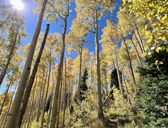
A fast, flowy track of dark black dirt through a gorgeous aspen grove.
Moderate Mountain Biking
9.5 km away
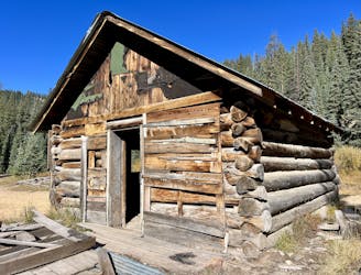
A burly backcountry epic with some of the most beautiful views in the San Juans!
Difficult Mountain Biking

26 routes · Mountain Biking
8 routes · Mountain Biking