8.2 km away
Vitamin B
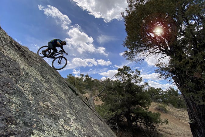
One of the most brutally-technical and high-consequence mountain bike trails in Central Colorado.
Extreme Mountain Biking
- Distance
- 20 km
- Ascent
- 619 m
- Descent
- 619 m
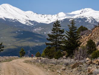
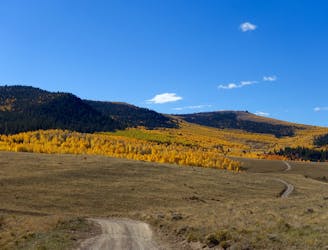
This faint singletrack trail runs through a remote zone right on the border of the Buffalo Peaks Wilderness.
Mountain Biking Difficult

The Davis Meadows trail is a faint, little-used singletrack that is worthy of much more traffic than this remote trail receives. Running along the border of the Buffalo Peaks Wilderness, it’s difficult for a bike-legal trail to get more remote than this!
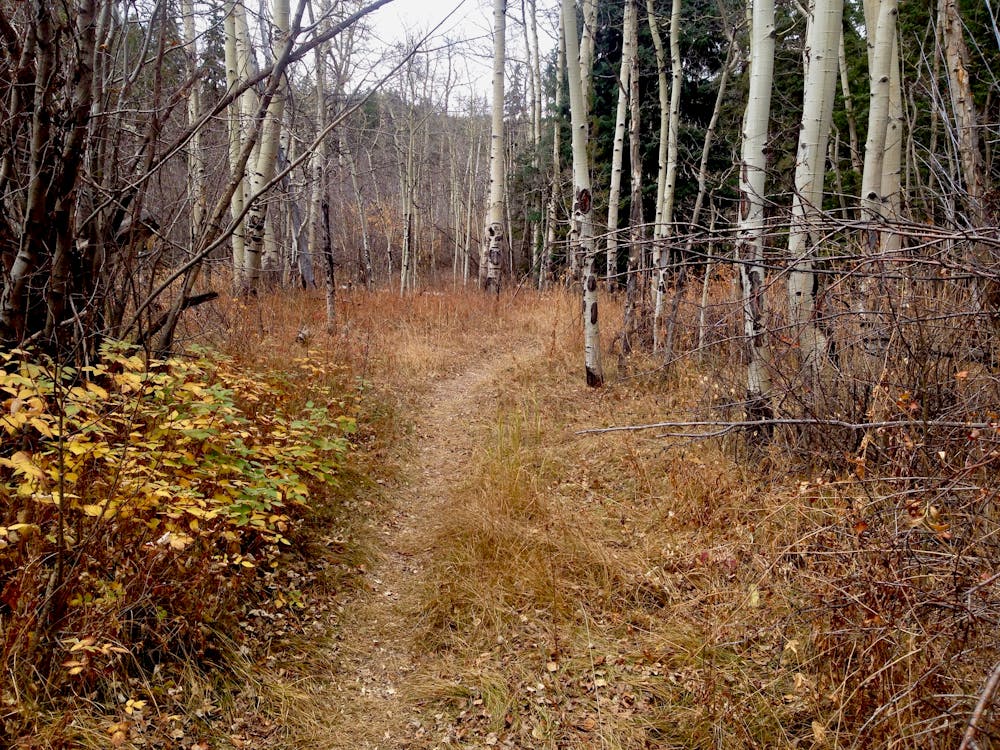
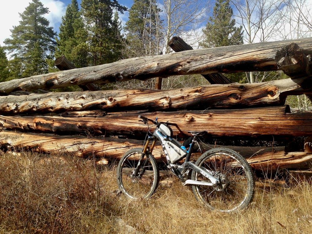
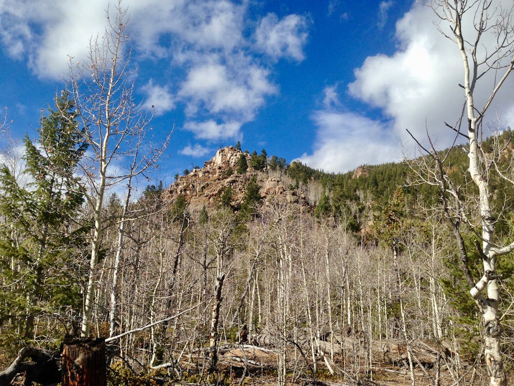
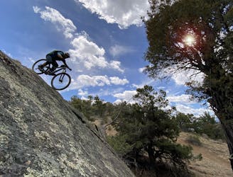
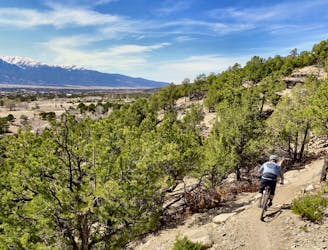
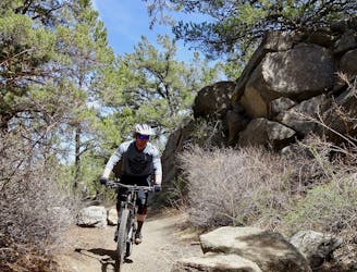
The singletrack begins as a flowy line through grassy ground surrounded by aspens. Quickly the trail gets more difficult, with steep rock rolls mixed in, or the option to down climb on a rickety wooden ladder.
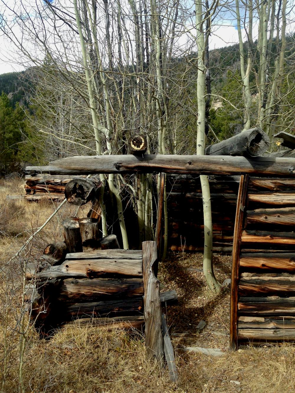
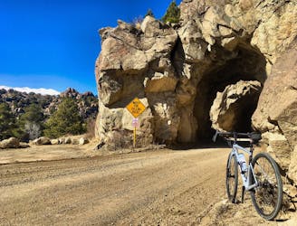
Around the halfway point in the singletrack, the trail crosses a stream and passes through a small group of ancient, abandoned cabins from the mining days of yore.
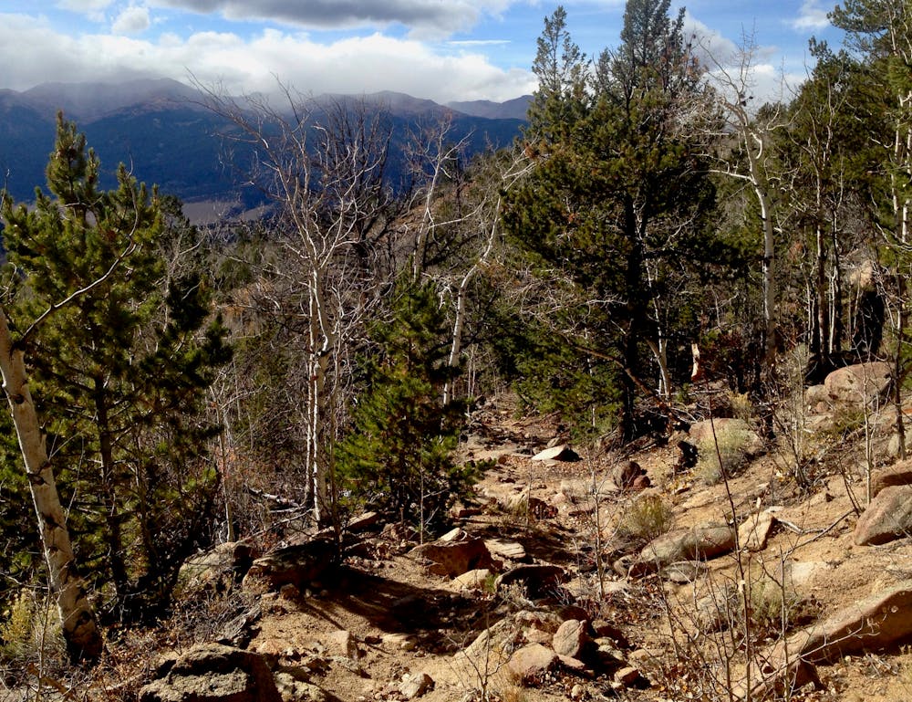
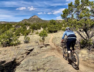
The final stretch of the trail gets much drier and rockier, ending in a technical rock-filled descent across the mountainside. Boulders, babyheads, and ledge drops combine to create a tough descent—a radical departure from the rest of the trail.
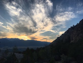
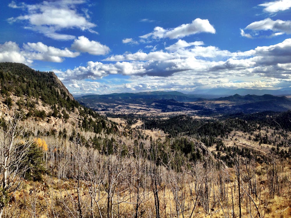
While the return pedal on the dirt road isn’t great, the views of the Fourmile Travel Management Area are stunning, and you’ll get a feel for just how far out in the middle of nowhere you actually are!
Difficult
Mostly stable trail tread with some variability featuring larger and more unavoidable obstacles that may include, but not be limited to: bigger stones, roots, steps, and narrow curves. Compared to lower intermediate, technical difficulty is more advanced and grades of slopes are steeper. Ideal for upper intermediate riders.

The trail contains some obstacles such as outcroppings and rock which could cause injury.

In the high mountains or remote conditions, all individuals must be completely autonomous in every situation.
8.2 km away
One of the most brutally-technical and high-consequence mountain bike trails in Central Colorado.
Extreme Mountain Biking
8.9 km away
The best high-desert singletrack trails in Buena Vista (as of 2018) combined into one ride.
Difficult Mountain Biking
8.9 km away
A gravel ride through iconic “spaghetti western” terrain.
Easy Mountain Biking
8.9 km away
Freshly-built tech-gnar constructed in 2019 that's sure to punish you.
Extreme Mountain Biking
8.9 km away
A beautiful riverside pedal on an old railroad grade, complete with tunnels!
Easy Mountain Biking
8.9 km away
This logical close-to-town loop is still a technical mountain biking challenge.
Severe Mountain Biking
8.9 km away
Pedal through a massive aspen grove on the side of a beautiful ridge.
Easy Mountain Biking
9.1 km away
An OG Buena Vista Ride looping the Midland Trail and dirt roads in Four Mile.
Moderate Mountain Biking
9.1 km away

An OG Buena Vista ride on the Midland Railroad Grade.
Moderate Mountain Biking
9.1 km away
One of the flowy few: an easy mountain bike ride in Buena Vista.
Moderate Mountain Biking

25 routes · Mountain Biking
5 routes · Mountain Biking
5 routes · Mountain Biking

20 routes · Mountain Biking