3.5 km away
Pot-O-Gold -> Gutz Loop
A fantastic 100% singletrack loop of Gutz.
Severe Mountain Biking
- Distance
- 21 km
- Ascent
- 704 m
- Descent
- 704 m
A rowdy fall line descent dropping thousands of feet down to the town of Salida.
Mountain Biking Severe

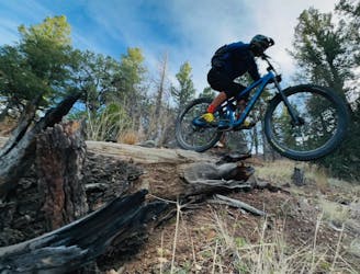
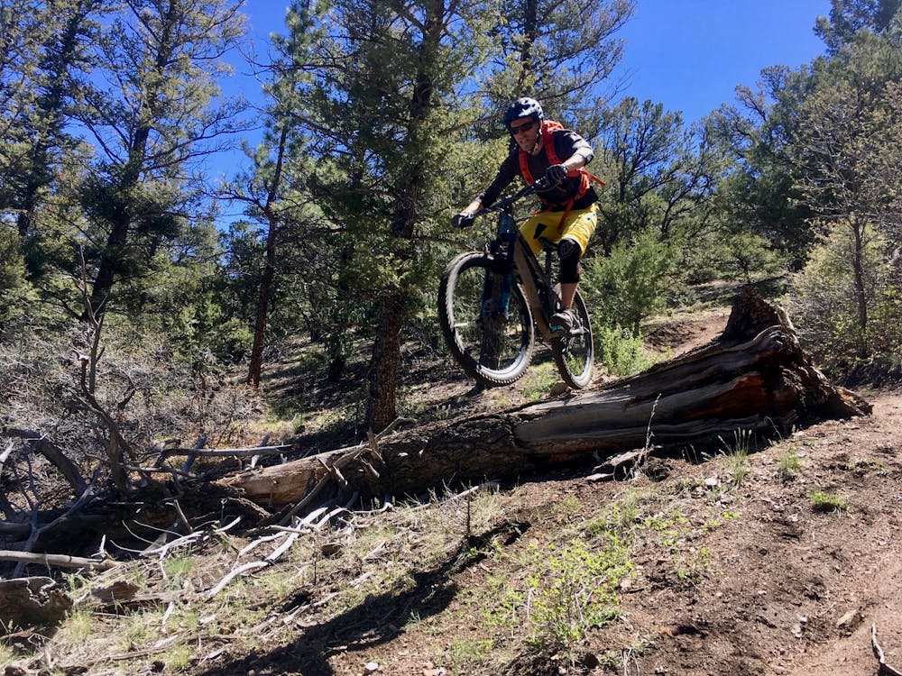
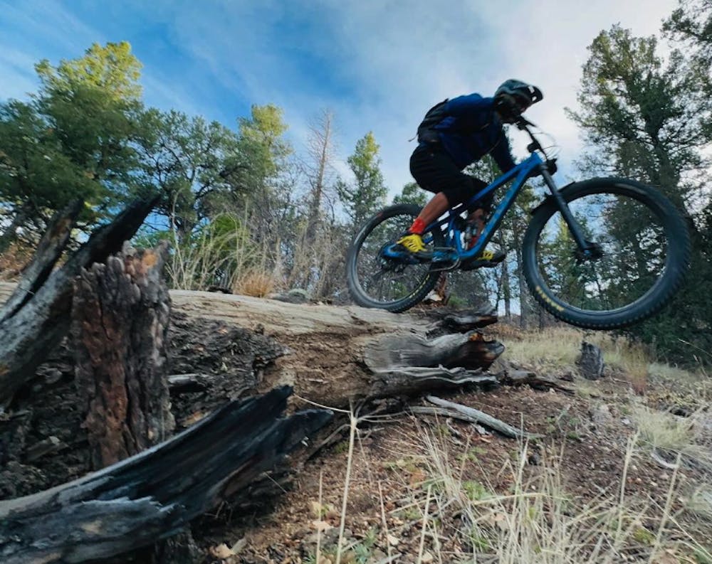
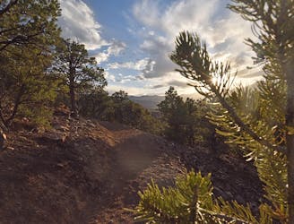
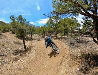
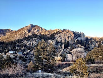
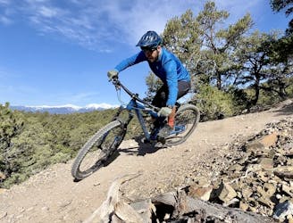
The Guts trail is a classic fall line tech descent off of the Rainbow trail, dropping all the way down to the outskirts of Salida far, far below. In recent years, the lower section was labeled with the moniker "Lost Trail," while the upper section remained a renegade trail.
But Guts is a renegade trail no longer! After being legalized by the US Forest Service, this trail is now legit and can be added to the maps of the area. Thus far, little has changed in the trail character.
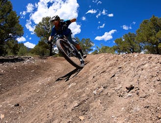
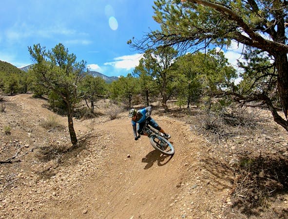
The descent starts off steep and loose, funneling into a series of tight berms. Lower down, the trail grade mellows a touch, which only allows riders to carry even more momentum. Drops and old school gap jumps are sprinkled throughout the descent, but all of the jumps feature a ride around.
The trail gets its name from an area where the singletrack swoops back and forth through a narrow valley, aka the "Guts" of the mountainside. Two lines actually run through the Guts—a taller and steeper line and a shorter and mellower line, which look like intestines when viewed from above.
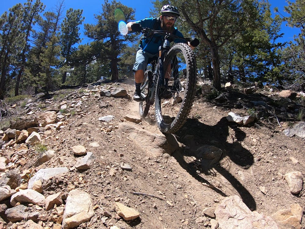
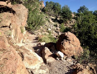
As the trail continues to drop, the tread gets tighter, rockier, and drier as it enters the high desert environment found on lower Methodist Mountain.
After crossing the power line, Guts drops straight into Lost Trail. Lost offers up tight berms, kickers, step downs, and lots more high speed fall line descending.
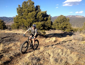
Guts is undoubtedly an old school gnar line, and requires a relevant skillset in order to navigate it confidently. For riders who like it steep and loose, Guts delivers!
Severe
Widely variable, narrow trail tread with steeper grades and unavoidable obstacles of 15in/38cm tall or less. Obstacles may include unavoidable bridges 24in/61cm wide or less, large rocks, gravel, difficult root sections, and more. Ideal for advanced-level riders.

The trail contains some obstacles such as outcroppings and rock which could cause injury.
Away from help but easily accessed.
3.5 km away
A fantastic 100% singletrack loop of Gutz.
Severe Mountain Biking
3.8 km away
Salida's flowiest, most beginner-friendly loop offers up gorgeous mountain views.
Easy Mountain Biking
3.8 km away
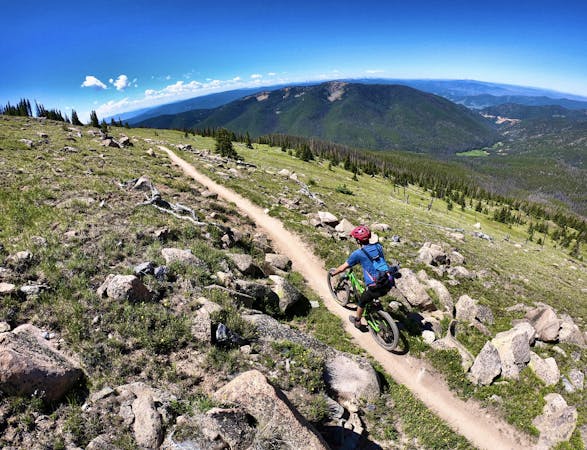
A short but sweep loop close to Salida providing a taste of the alpine.
Moderate Mountain Biking
4.4 km away
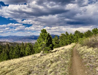
A long loop with big climbs from downtown Salida, the singletrack is fast and flowy, making for a great cross country ride.
Moderate Mountain Biking
4.4 km away
With the addition of Solstice, Salida finally boasts a true downhill flow trail!
Moderate Mountain Biking
6.9 km away
A scenic out-and-back ride to a little-visited ghost town.
Easy Mountain Biking
6.9 km away
One of the least technical rides in Salida, the singletrack is still flowy and fun.
Easy Mountain Biking
6.9 km away
A flow ride with perfect berms and jumps up high, and tougher natural features down low.
Difficult Mountain Biking
6.9 km away
The Trans-Backbone route is an efficient, easy-to-navigate route through the Arkansas Hills trail system, with singletrack ranging from technical and challenging to flowy and fast.
Difficult Mountain Biking
6.9 km away
Pedal from downtown Salida high into the Arkansas Hills to access a ripping descent with fast, flowy sections and uber-gnarly rock gardens.
Severe Mountain Biking
14 routes · Mountain Biking
4 routes · Mountain Biking