1 m away
Aspen Ridge Point-to-Point
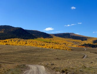
Pedal through a massive aspen grove on the side of a beautiful ridge.
Easy Mountain Biking
- Distance
- 70 km
- Ascent
- 1.4 km
- Descent
- 1.7 km
Steep, old school trails in the Whipple system.
Mountain Biking Difficult

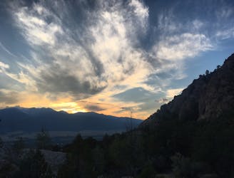
This is a popular mountain biking route which is generally considered to be difficult. It's an unknown remoteness, it features unknown exposure and is typically done in an unknown time of year. From a low point of 2.4 km to the maximum altitude of 2.5 km, the route covers 2.2 km, 101 vertical metres of ascent and 101 vertical metres of descent.
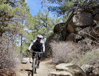
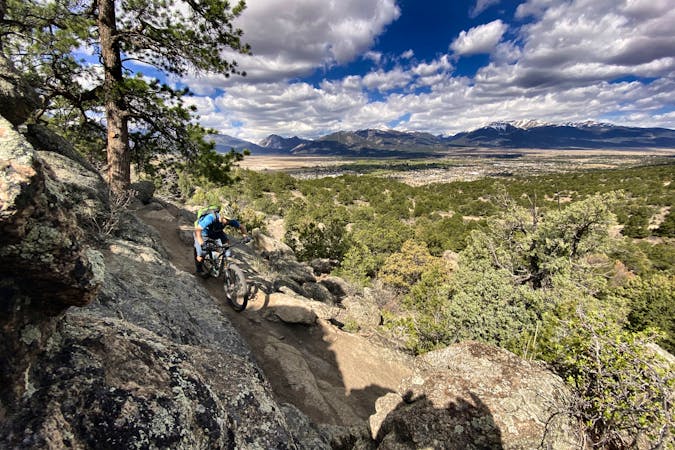
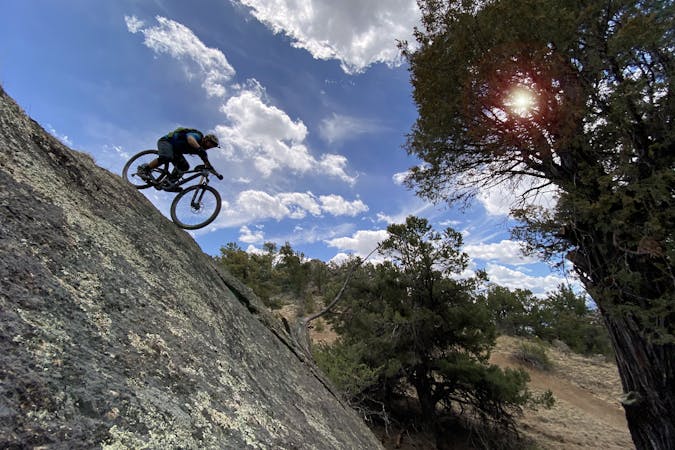
These steep singletrack trails in the Whipple Trail System aren't often ridden for mountain biking, but they do provide loop options and provide the ability to connect other trails together.
Difficult
Mostly stable trail tread with some variability featuring larger and more unavoidable obstacles that may include, but not be limited to: bigger stones, roots, steps, and narrow curves. Compared to lower intermediate, technical difficulty is more advanced and grades of slopes are steeper. Ideal for upper intermediate riders.
1 m away
Pedal through a massive aspen grove on the side of a beautiful ridge.
Easy Mountain Biking
5 m away
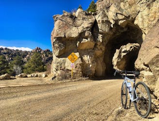
A beautiful riverside pedal on an old railroad grade, complete with tunnels!
Easy Mountain Biking
5 m away
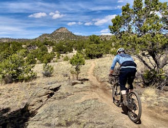
This logical close-to-town loop is still a technical mountain biking challenge.
Severe Mountain Biking
5 m away
Freshly-built tech-gnar constructed in 2019 that's sure to punish you.
Extreme Mountain Biking
6 m away
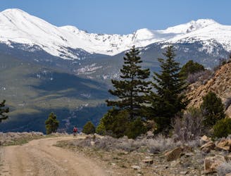
A gravel ride through iconic “spaghetti western” terrain.
Easy Mountain Biking
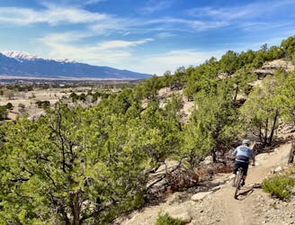
18 m away
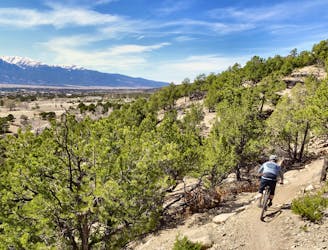
The best high-desert singletrack trails in Buena Vista (as of 2018) combined into one ride.
Difficult Mountain Biking
3.6 km away

An OG Buena Vista ride on the Midland Railroad Grade.
Moderate Mountain Biking
3.6 km away
An OG Buena Vista Ride looping the Midland Trail and dirt roads in Four Mile.
Moderate Mountain Biking
3.6 km away
One of the flowy few: an easy mountain bike ride in Buena Vista.
Moderate Mountain Biking
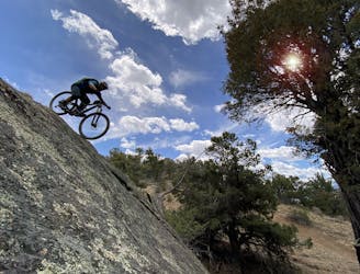
3.8 km away
One of the most brutally-technical and high-consequence mountain bike trails in Central Colorado.
Extreme Mountain Biking

25 routes · Mountain Biking
5 routes · Mountain Biking
5 routes · Mountain Biking

20 routes · Mountain Biking