43 m away
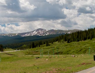
Hoosier Pass
A quick out-and-back from Breckenridge to the Continental Divide.
Moderate Road Biking
- Distance
- 34 km
- Ascent
- 622 m
- Descent
- 622 m
Follow I70 on a surprisingly-scenic bike path that climbs up through the canyon to the top of Vail Pass.
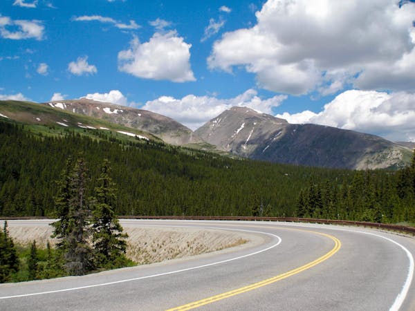
Road Biking Difficult

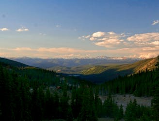
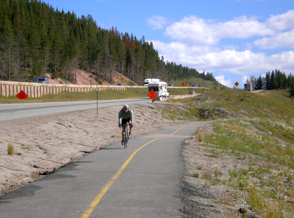
If you’re a road biker but prefer to avoid dealing with cars and trucks on Summit County’s congested roads, Breckenridge still offers an incredible array of riding opportunities! Road bikers can pedal from Breckenridge all the way to Vail on bike paths that are completely separated from the road. The route mapped here runs to the top of Vail Pass, and then turns around at that point.
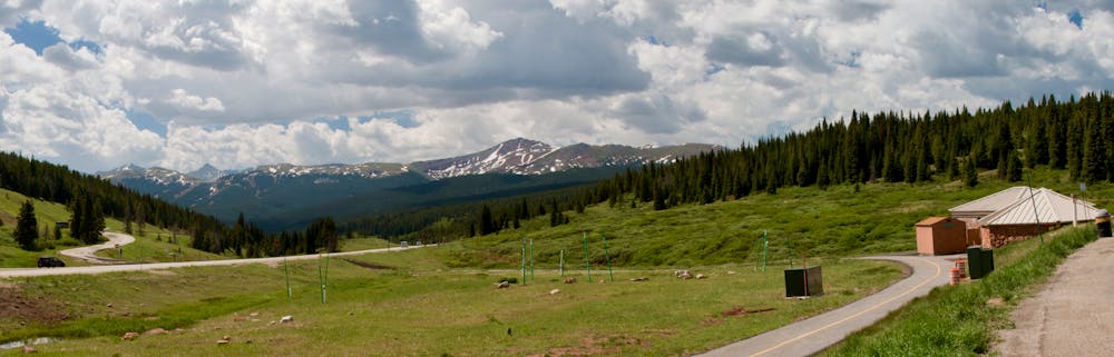
Despite the majority of the route following the I70 corridor, this bike path is surprisingly scenic and quiet. The views all the way along the canyon are some of the best you’ll find on a non motorized paved bike path anywhere!
Higher up the canyon, the bike path does wind below I70, but since it’s completely separated, the ride remains completely safe even if traffic noise does pick up.
Unlike many road rides in Colorado, this route provides numerous options for resupply. Passing through the town of Frisco as well as Copper Mountain, riders can refill on water and food at multiple points.
One consideration on this route that you don't have to worry about on most road rides is the snow conditions. While the roads are all maintained in the winter, the bike path is not. This means that you’ll have to wait until the snow melts off completely before attempting this route on your skinny-tired bike.
Difficult

Close to help in case of emergency.
43 m away
A quick out-and-back from Breckenridge to the Continental Divide.
Moderate Road Biking
44 m away
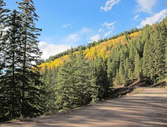
An easy out-and-back gravel ride from downtown Breck to the top of Boreas Pass.
Extreme Road Biking
130 m away
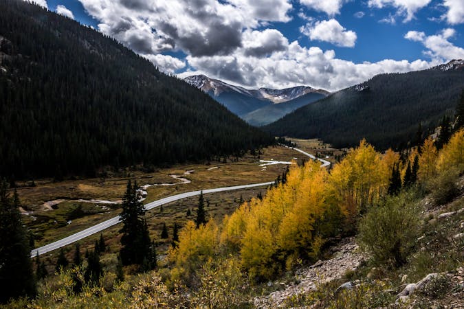
An ambitious dirt road loop up and over Georgia Pass, returning over Boreas Pass.
Extreme Road Biking
8.3 km away
One of the most renowned road rides in Colorado, crossing three major passes.
Severe Road Biking
4 routes · Road Biking
3 routes · Road Biking