5 m away
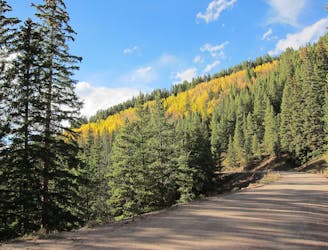
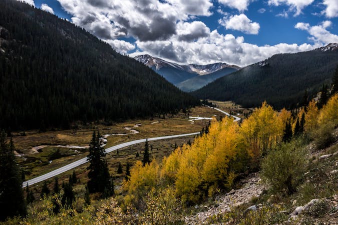
Boreas Pass Out-and-Back
An easy out-and-back gravel ride from downtown Breck to the top of Boreas Pass.
Extreme Road Biking
- Distance
- 32 km
- Ascent
- 662 m
- Descent
- 662 m
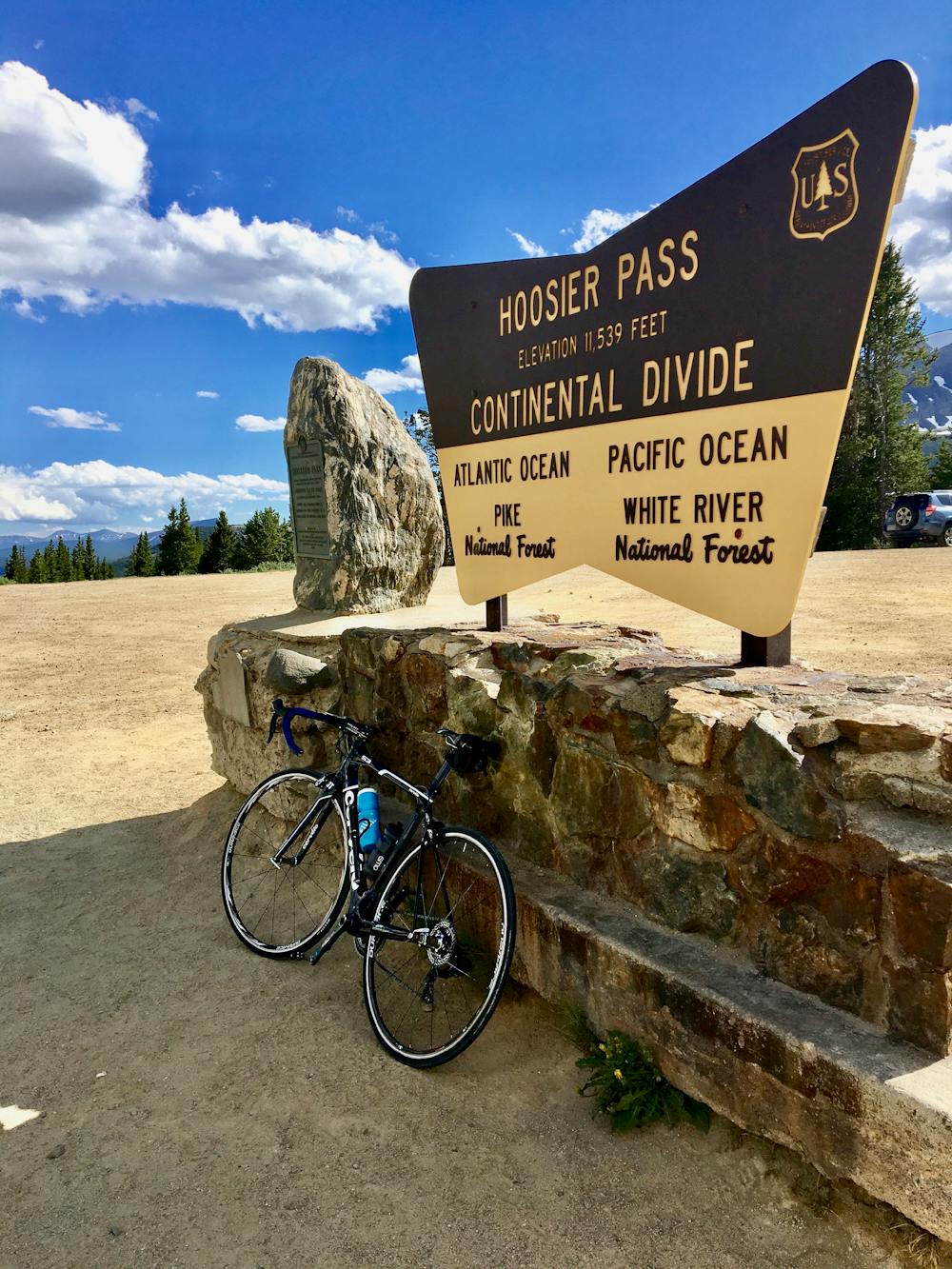
A quick out-and-back from Breckenridge to the Continental Divide.
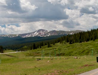
Road Biking Moderate
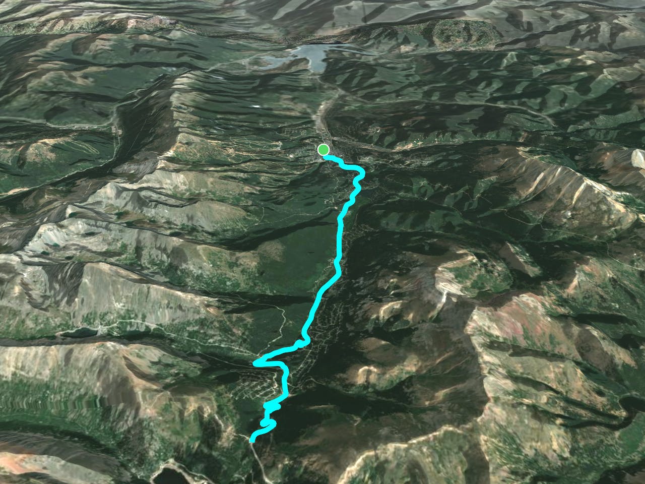
If you’re looking for a quick road ride from Breck with a good dose of elevation gain, Hoosier Pass is your best bet. This quick out-and-back route climbs straight out of Breckenridge all the way to the top of the Continental Divide.
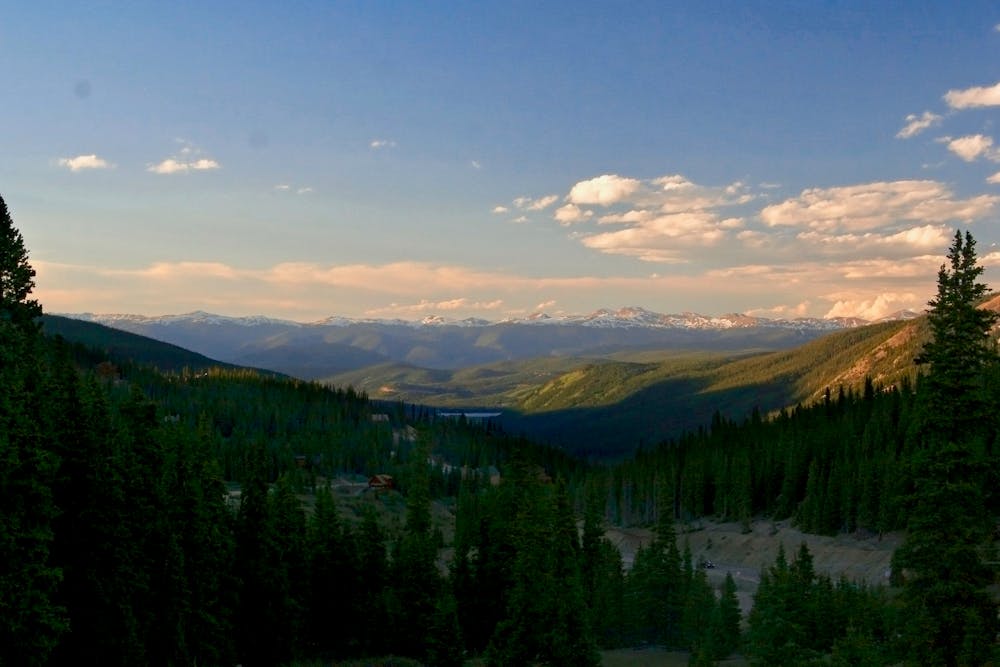

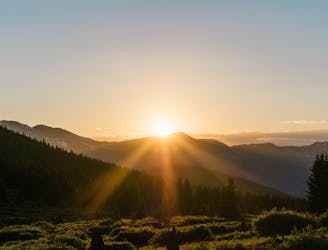
Along the way up, take in the views of Quandary Peak, North Star Mountain, and the rest of the Ten Mile Range towering above you. Tourists from the Front Range, Texas, and beyond drive this road to take in the views—how much better is the view from the saddle of a bike?!
The popularity of this highway can make for heavy traffic, especially on the weekends, during the height of summer, and when leaves are peaking in the fall. Consider riding at off-peak times to avoid the motorists.
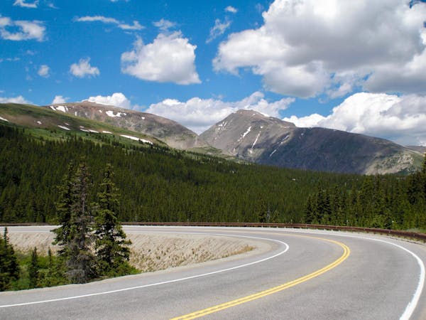
This twisty two-lane highway serves up a riveting descent on the way back down. With sweeping switchbacks and flowy tarmac, this paved descent is much more engaging than some of the road rides you’ll find in Colorado!
If you so desire, you can easily add on extra mileage over the top and down to Alma or Fairplay. Just remember that you’ll have to pedal back up and over Hoosier Pass to return to Breck—there is no alternative route back!
Moderate

Close to help in case of emergency.
5 m away
An easy out-and-back gravel ride from downtown Breck to the top of Boreas Pass.
Extreme Road Biking
43 m away

Follow I70 on a surprisingly-scenic bike path that climbs up through the canyon to the top of Vail Pass.
Difficult Road Biking
100 m away
An ambitious dirt road loop up and over Georgia Pass, returning over Boreas Pass.
Extreme Road Biking
8.3 km away
One of the most renowned road rides in Colorado, crossing three major passes.
Severe Road Biking
4 routes · Road Biking
3 routes · Road Biking