4.7 km away
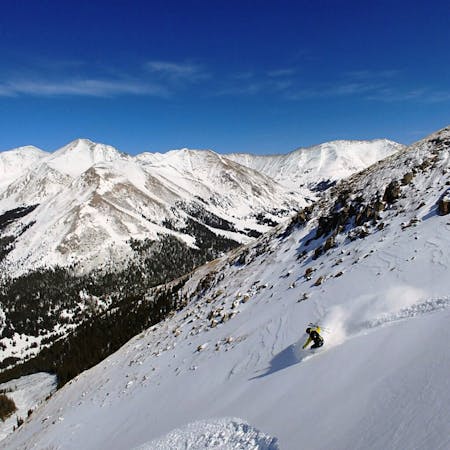
Torreys Peak: Emperor Couloir
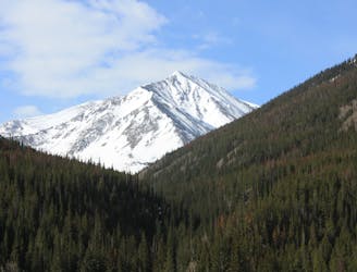
Ski a spectacular 3,000-foot line off the summit of one of Colorado's most popular 14ers.
Severe Ski Touring
- Distance
- 3.7 km
- Ascent
- 999 m
- Descent
- 999 m
Hike around to daves wave
Ski Touring Difficult
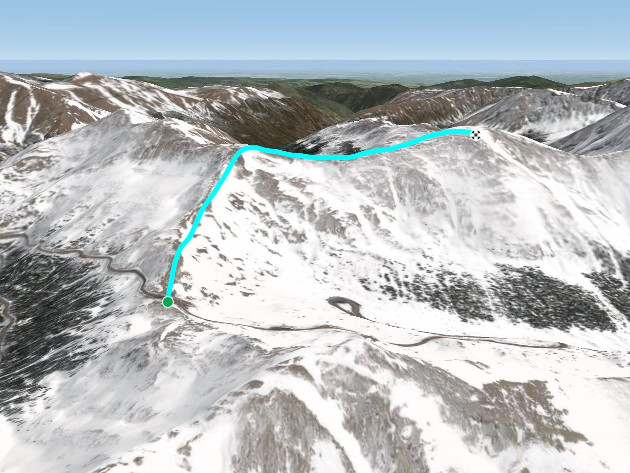
This is a popular ski touring route which is generally considered to be difficult. It's very remote, it features unknown exposure and is typically done between January and April. From a low point of 3.7 km to the maximum altitude of 4 km, the route covers 2.5 km, 392 vertical metres of ascent and 78 vertical metres of descent.
Start up the NE ridge of Mt. Sniktau, and continue S along the line that accesses W corner.
Difficult
Serious gradient of 30-38 degrees where a real risk of slipping exists.

Little chance of being seen or helped in case of an accident.
4.7 km away
Ski a spectacular 3,000-foot line off the summit of one of Colorado's most popular 14ers.
Severe Ski Touring
7.9 km away
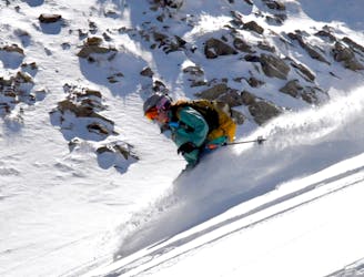
If avalanche conditions are safe this is a good powder stash near Keystone.
Moderate Ski Touring
8.2 km away
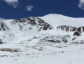
Great route for beginner mountaineers—climb an easy 14er, ski a short couloir, and cruise through a fun gulley back to the trailhead.
Difficult Ski Touring
7 routes · Ski Touring