3.1 km away
Torreys Peak: Emperor Couloir
Ski a spectacular 3,000-foot line off the summit of one of Colorado's most popular 14ers.
Severe Ski Touring
- Distance
- 3.7 km
- Ascent
- 999 m
- Descent
- 999 m
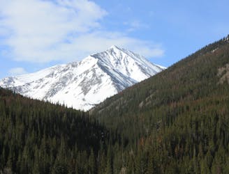
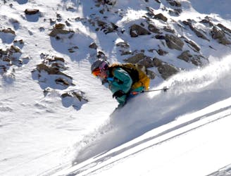
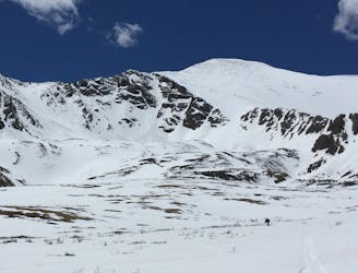
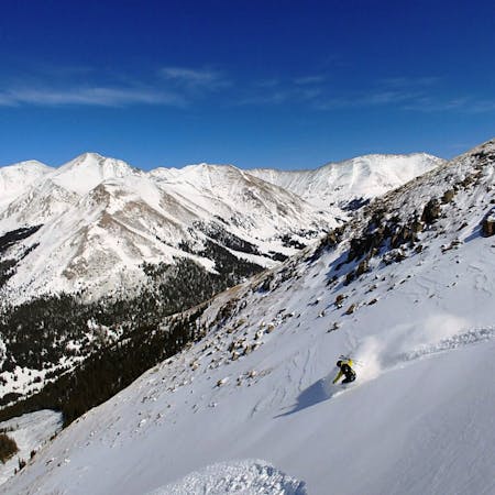
Steep long couioir off Lenawee Ridgeline
Ski Touring Severe
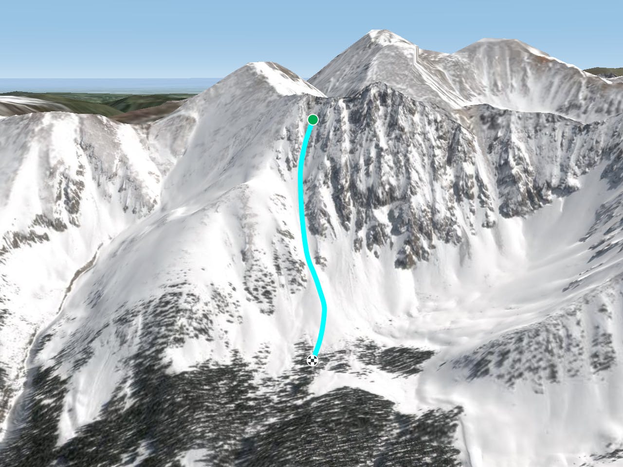
This line can be accessed from the top or from booting straight up it. Snow coverage can vary, but the best time of year to ski this is going to be later in the season. As you drop in be aware of coverage as the line gets SW exposure. Most of the line is W Facing so make sure to start hiking this line early. Once you are ready to drop, enjoy nice long steep turns that open up to the bottom. It is recommended to hike this line from the bottom. Keep in mind you may not be able to hike to the top of this line or access it from the top
Severe
Steep skiing at 38-45 degrees. This requires very good technique and the risk of falling has serious consequences.

As well as the slope itself, there are some obstacles (such as rock outcrops) which could aggravate injury.

Little chance of being seen or helped in case of an accident.
3.1 km away
Ski a spectacular 3,000-foot line off the summit of one of Colorado's most popular 14ers.
Severe Ski Touring
5.6 km away
If avalanche conditions are safe this is a good powder stash near Keystone.
Moderate Ski Touring
6.4 km away
Great route for beginner mountaineers—climb an easy 14er, ski a short couloir, and cruise through a fun gulley back to the trailhead.
Difficult Ski Touring
7 routes · Ski Touring