4.7 km away
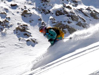
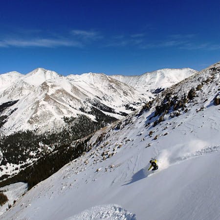
Torreys Peak: Emperor Couloir
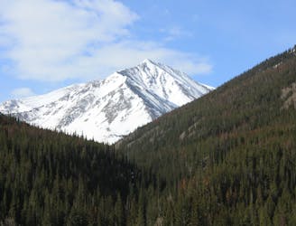
Ski a spectacular 3,000-foot line off the summit of one of Colorado's most popular 14ers.
Severe Ski Touring
- Distance
- 3.7 km
- Ascent
- 999 m
- Descent
- 999 m
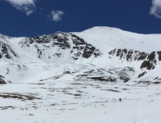
Hike around the main Loveland pass backcountry zones
Ski Touring Moderate

This is a popular ski touring route which is generally considered to be moderate. It's very remote, it features unknown exposure and is typically done between December and May. From a low point of 3.6 km to the maximum altitude of 3.8 km, the route covers 3.2 km, 205 vertical metres of ascent and 168 vertical metres of descent.
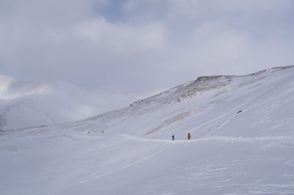
Around the bowl
Moderate
Slopes become slightly steeper at around 25-30 degrees.

Little chance of being seen or helped in case of an accident.
4.7 km away
Ski a spectacular 3,000-foot line off the summit of one of Colorado's most popular 14ers.
Severe Ski Touring
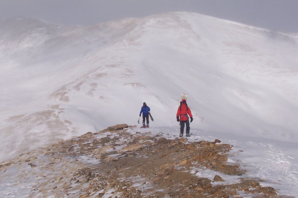
8 km away
If avalanche conditions are safe this is a good powder stash near Keystone.
Moderate Ski Touring
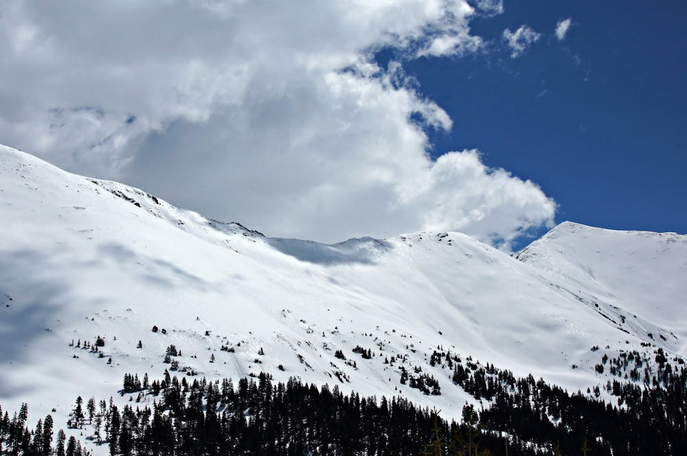
8.2 km away
Great route for beginner mountaineers—climb an easy 14er, ski a short couloir, and cruise through a fun gulley back to the trailhead.
Difficult Ski Touring
7 routes · Ski Touring